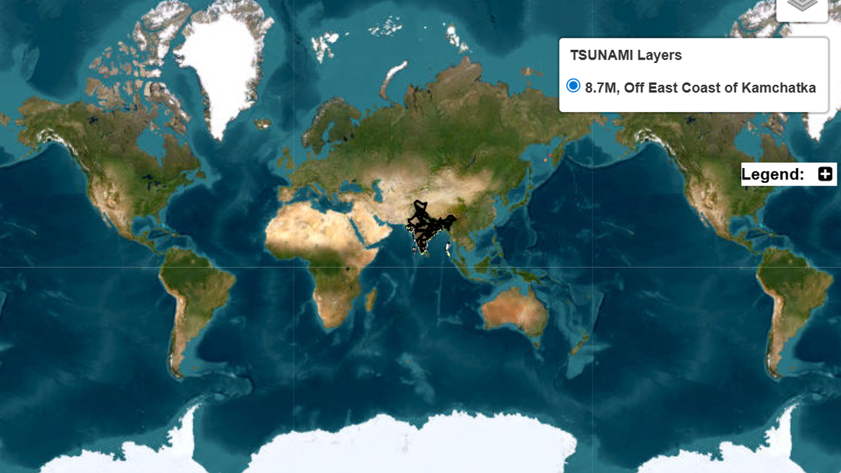
Scientists at the Indian National Centre for Ocean Information Services (INCOIS) are working to enhance early warning systems for tsunamis originating from the Sumatra-Andaman subduction zone, aiming to reduce the warning time for the Indian east coast to less than five minutes, down from the current 10 minutes or less.
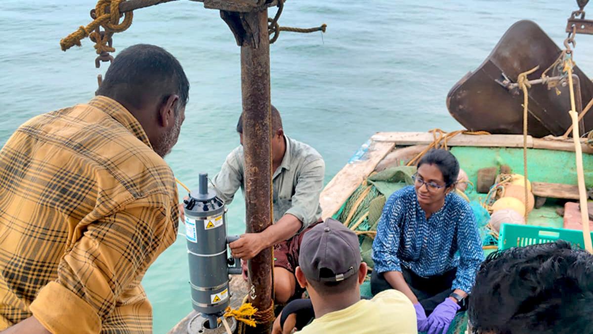
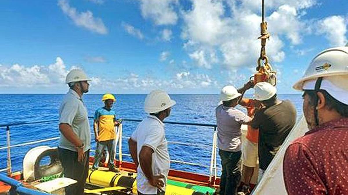
This improvement could be achieved by integrating about 32 Global Navigation Satellite System (GNSS) sensors on the Andaman and Nicobar Islands to monitor ocean-floor quakes, using the data for rapid source characterization, and deploying machine learning-based inundation models and impact forecasting.
At the first Ocean Decade Tsunami Programme (ODTP) conference, held over two days at INCOIS headquarters in Pragatinagar, scientists from India and abroad discussed implementing the project, particularly developing the capability to issue actionable and timely tsunami warnings for all identified sources to 100% of coasts at risk.
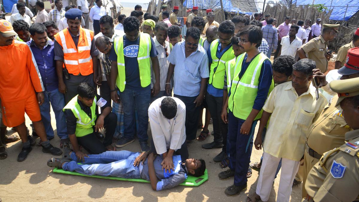
Another key objective is to prepare a timeline to make all coastal communities at risk tsunami-resilient by 2030, through initiatives like the IOC-UNESCO Tsunami Ready Recognition Programme. Researchers are also examining the condition of crustal faults after the 2004 tsunami, improving characterisation of landslide sources and steep coastal margins, as “early warnings can save lives”.