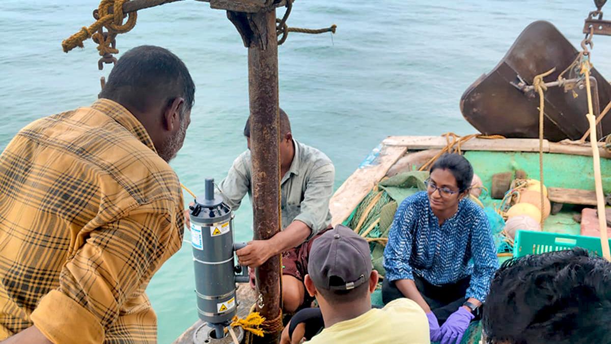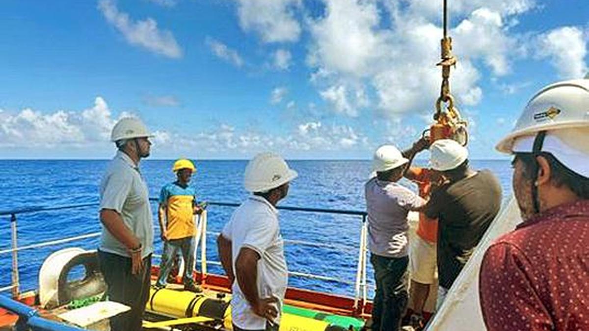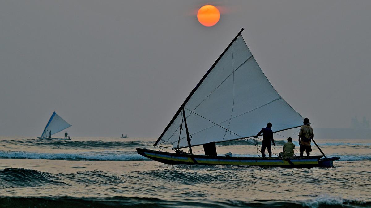
Every morning, as fishing boats head out to sea, they carry more than just nets and bait; they carry insights from space. Thanks to the Indian National Centre for Ocean Information Services (INCOIS) under the Ministry of Earth Sciences, thousands of fishermen are guided by Potential Fishing Zone (PFZ) advisories, generated using high-resolution satellite data and oceanographic analysis.
These advisories, based on parameters such as sea surface temperature, chlorophyll concentration and ocean currents, pinpoint likely fish-rich areas, thereby helping fishermen cast their net with more confidence. The result? Better catches, higher incomes, lower fuel costs and a smaller carbon footprint.