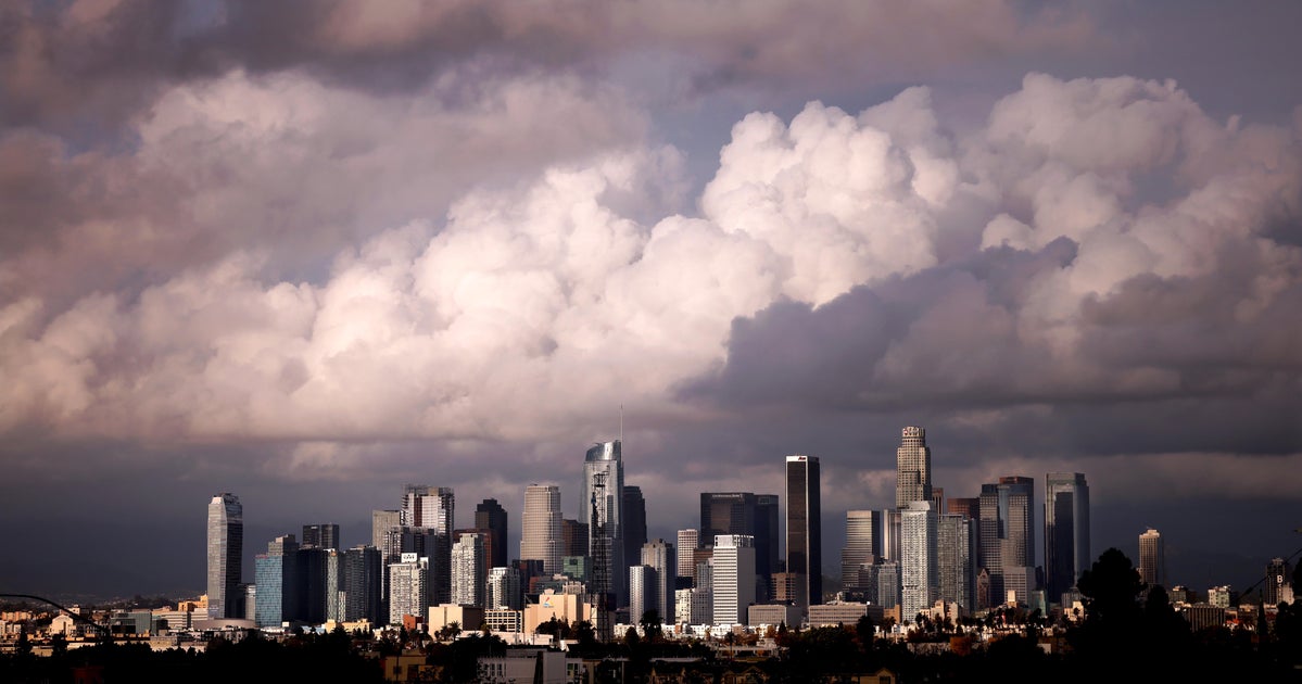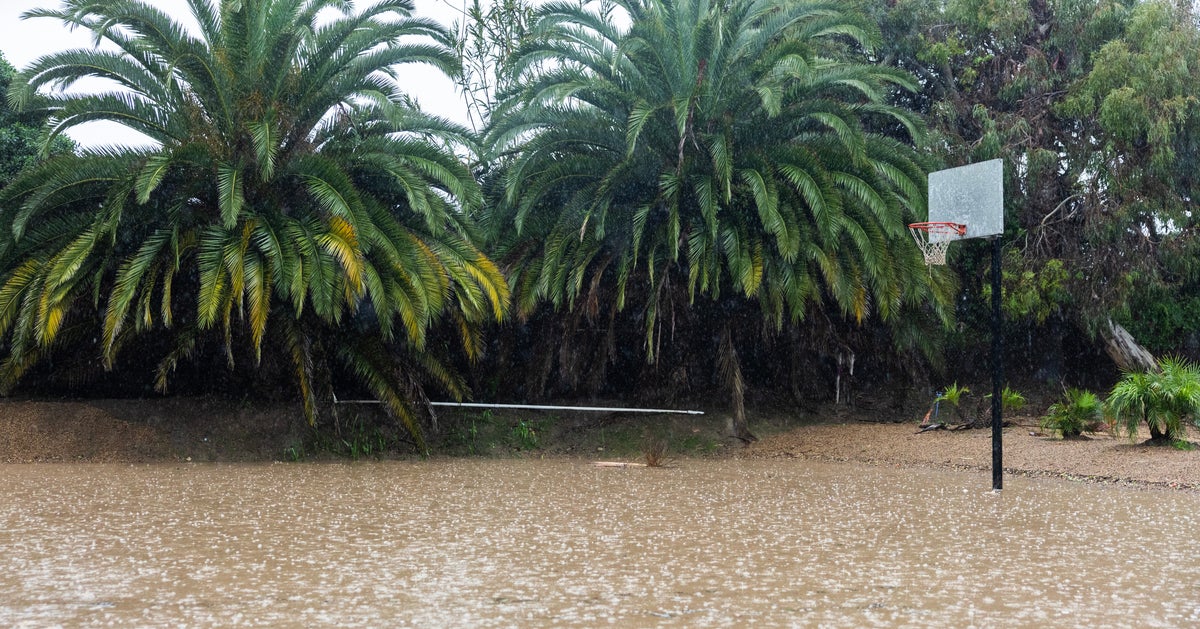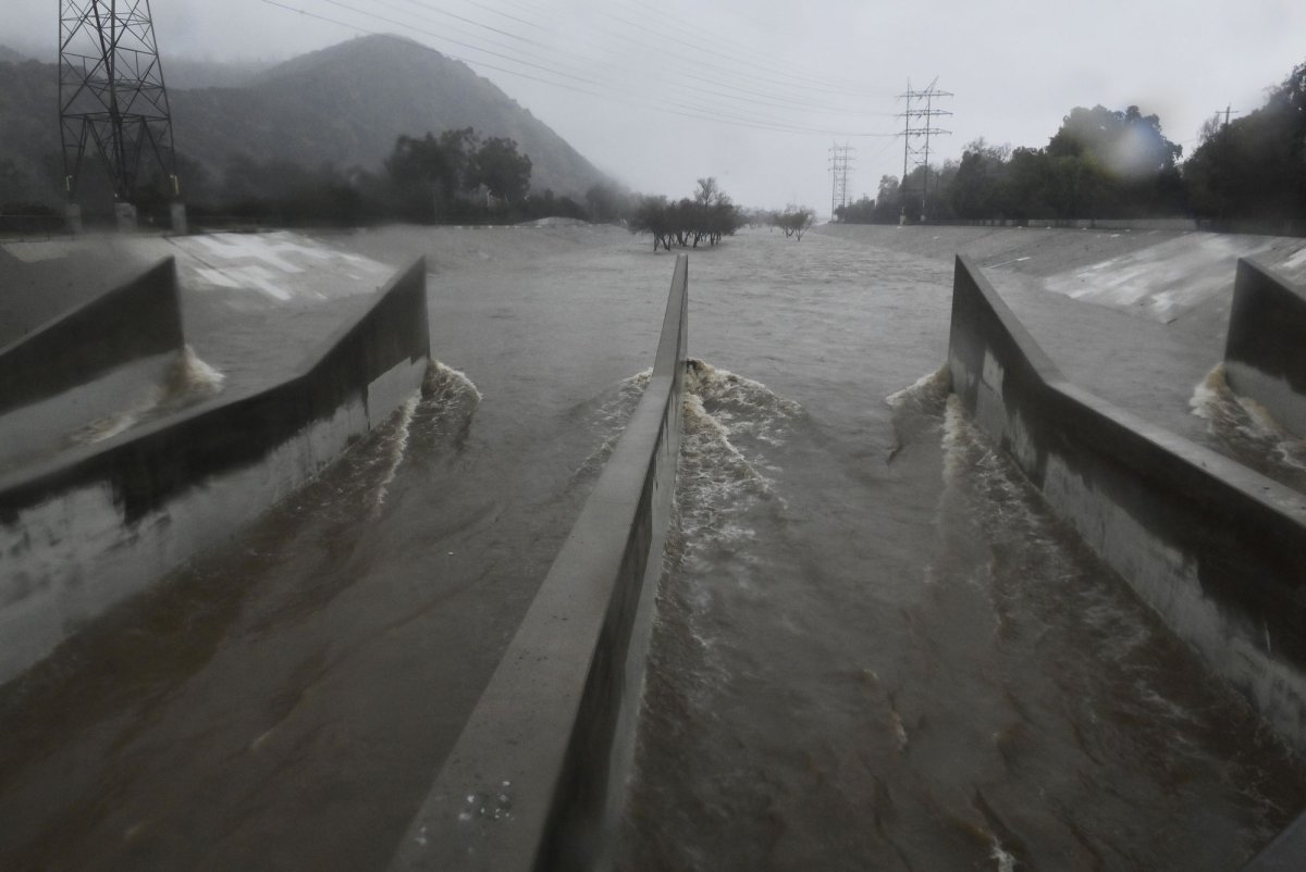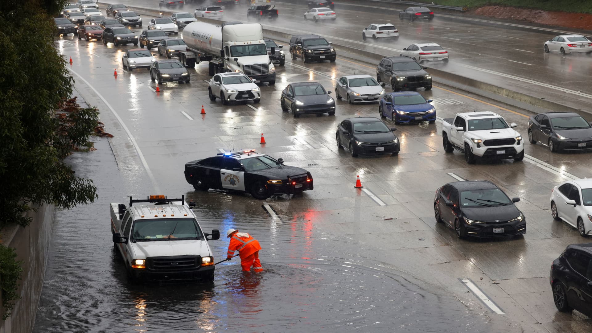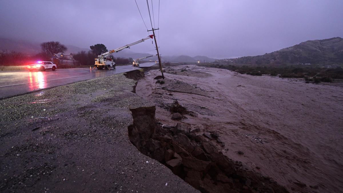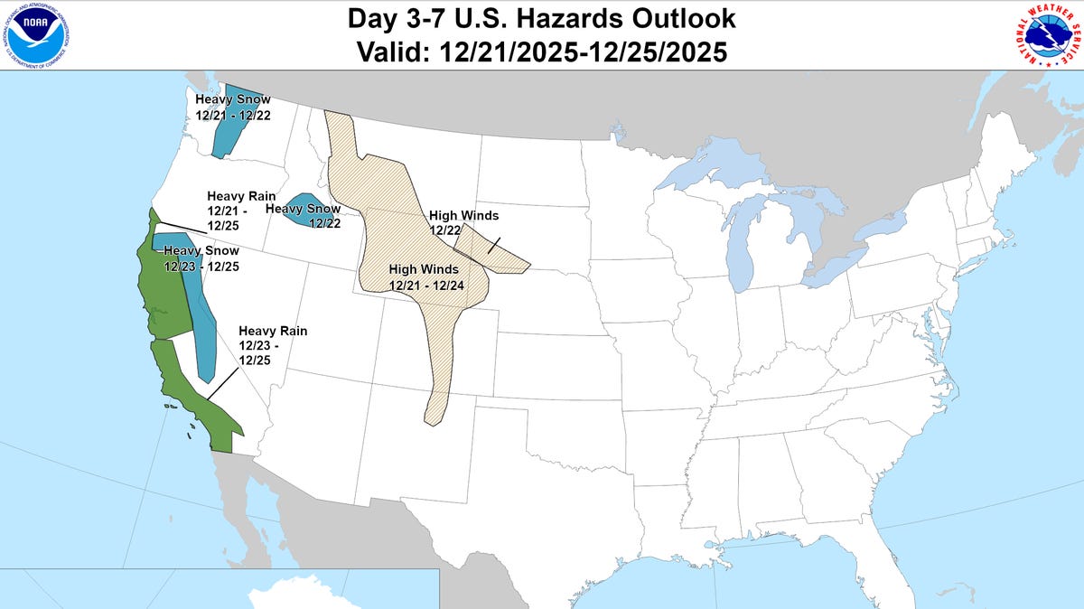
After rounds of flooding in Washington state, another atmospheric river will likely bring more rain to the West Coast during Christmas week. Many places across the country, however, are set to experience an unusually warm holiday. Here's a recap of forecasts and interactive tools to track conditions across the country as you plan for travel.
According to an AccuWeather forecast, for almost two dozen states, this week could bring record high temperatures for this time of the year. A "bubble of warm air" spreading from the Gulf stretching north to the Midwest and wide from the Rockies to the Appalachians, will push temperatures 15-30 degrees above the historical average for Christmas. Some cities that may see tied or broken records include: Kansas City, Missouri; Tulsa, Oklahoma; Wichita, Kansas; Albuquerque, New Mexico; and Amarillo, Texas. At the same time, low clouds and fog could become a widespread problem in part of this region, which can cause delays for those driving and flying.
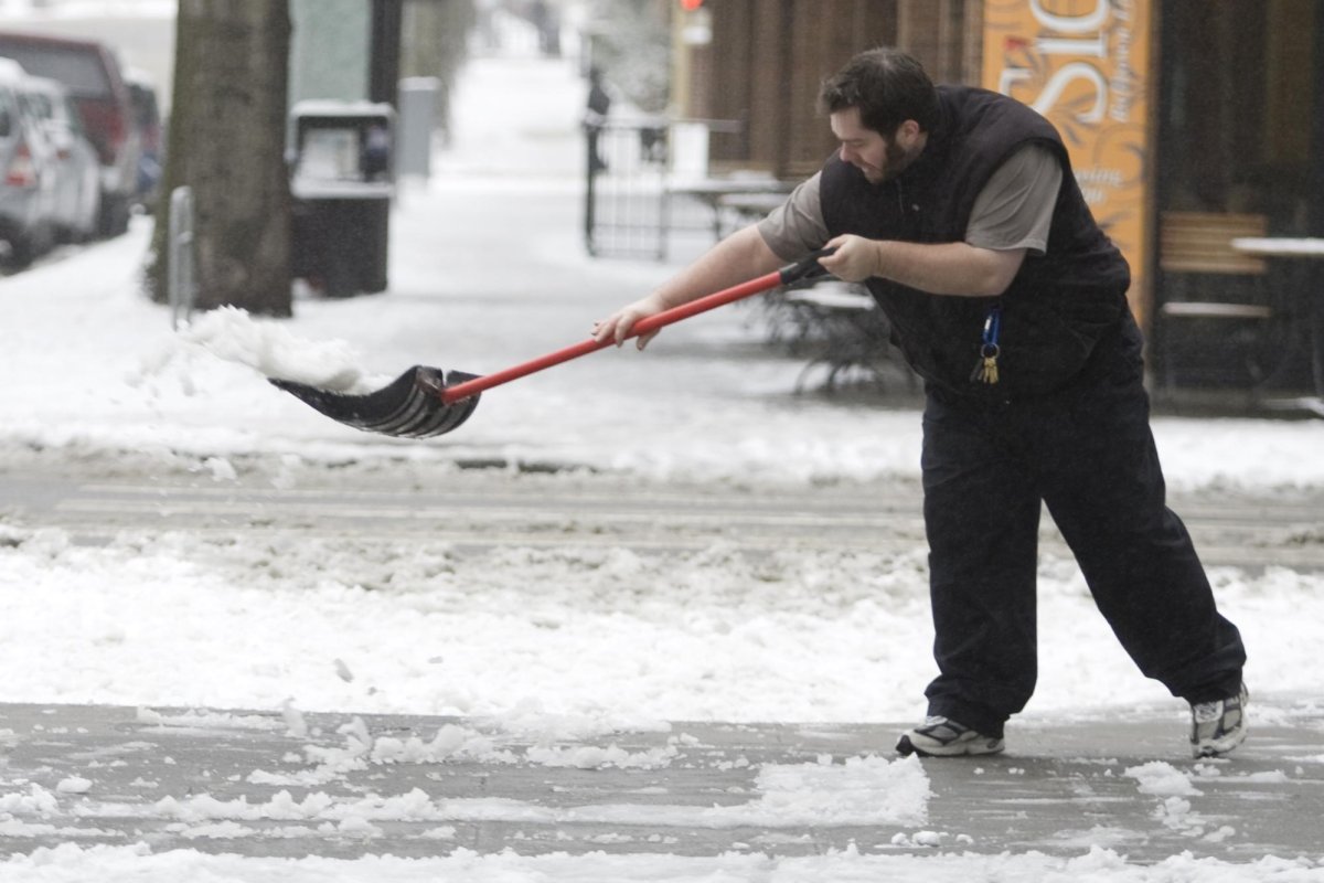
In the Northeast, a series of storms can still bring a mix of snow, ice and rain. In Pennsylvania, drivers should watch out for the ice buildup. The core of that storm will then move into New York and New England, where snow accumulation is expected. Most places in the region can pick up 1-3 inches but higher elevations and southern Maine could see up to 3-6 inches, according to AccuWeather.