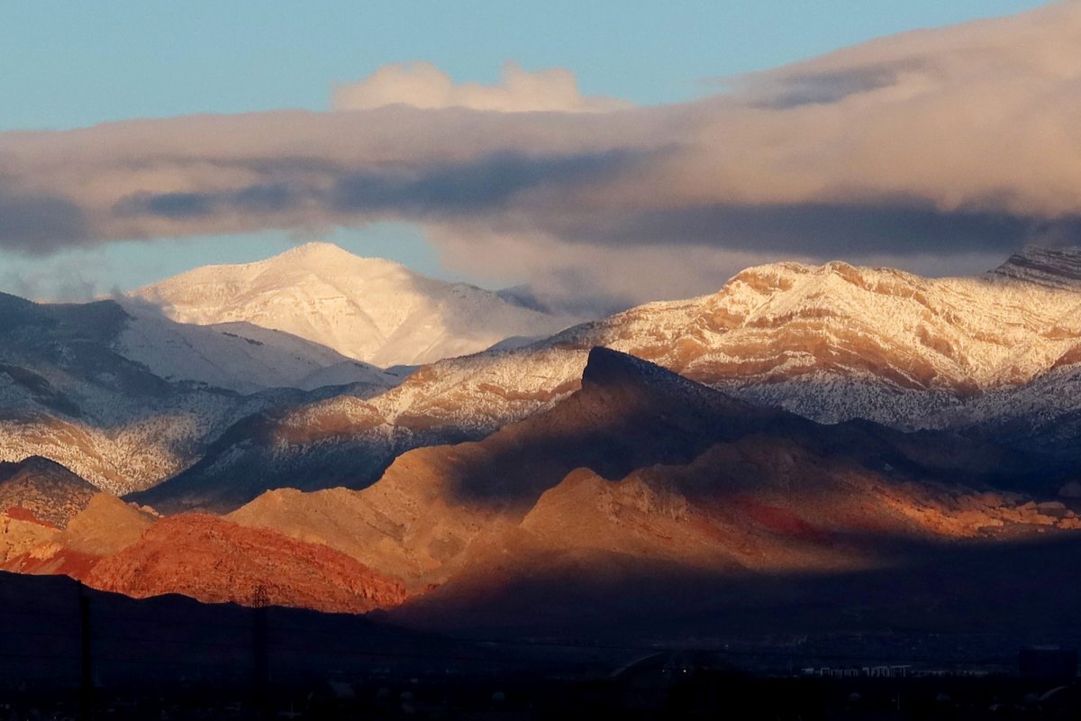
As a storm tracks across the interior West this weekend with rain and thunder, it will generate enough cold air for snow to fall over some of the higher elevations from the Cascades to the Wasatch and northern and central Rockies, AccuWeather meteorologists say.
Showers already dampened areas from coastal Washington and Oregon to the northern parts of Nevada and Utah, as well as portions of Idaho on Friday. The showers will spread farther to the east and south over the course of the weekend, reaching much of Montana, Wyoming and western Colorado by Sunday.
During the afternoon and evening, thunderstorms will erupt in some areas and can produce hail and sudden lightning strikes. Campers and hikers should be aware of quickly changing weather conditions. Hikers should avoid open areas over the ridges to reduce the risk of being struck by lightning.
Hikers could face a different problem as the weekend progresses. The chilly air associated with the storm will allow freezing levels to dip, and snow will begin to reach down from the ridges and peaks to some intermediate elevations from the Cascades to the northern and central Rockies.
In some cases, the snow showers can be accompanied by thunder and lightning.