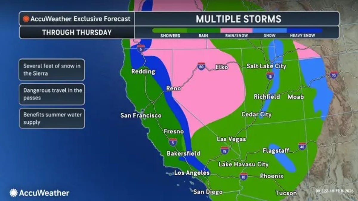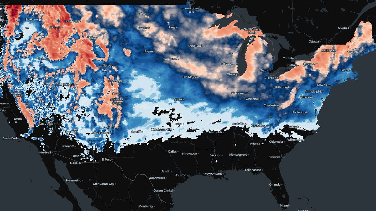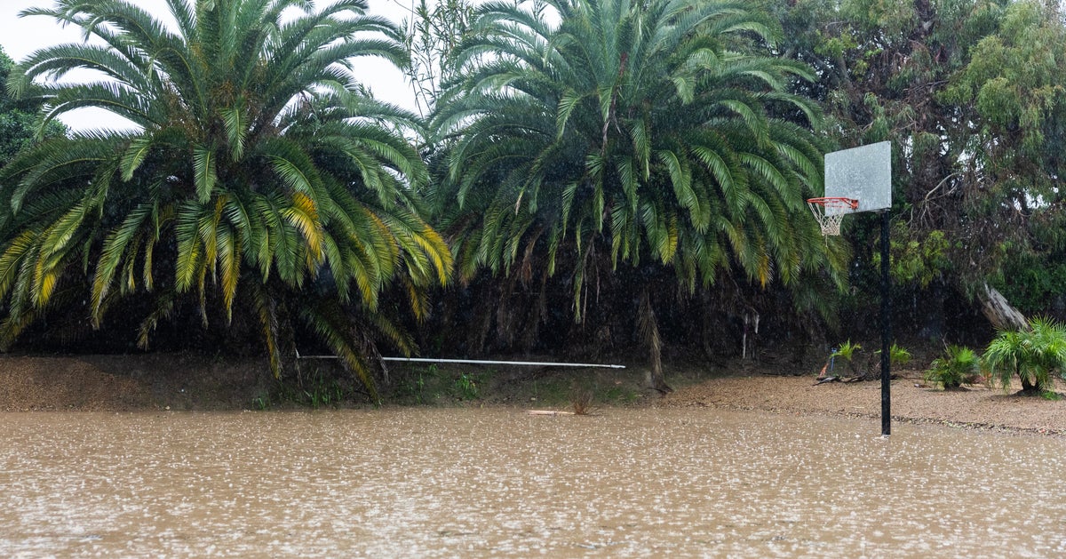
Storms pushing inland from the Pacific will deliver the most significant rain and mountain snow to parts of the western United States since early last spring in the coming days.
The storms will create travel disruptions, with mainly wet highways in the lower elevations and snowy, slippery conditions over the highest elevations. The greatest risk of flash flooding will be over the interior Southwest.
One storm began to affect the coastal Northwest on Friday, with mostly rain from western Washington to northwestern California.
For most of the coastal and interior locations of the Northwest, this storm will not be a blockbuster. However, it will be one of the most general rain-producing storms so far this fall.
Several inches of snow will fall from the storm farther inland, covering portions of the Rockies in Montana and Wyoming. Some of the snow will melt on the roads over the higher elevations and passes. In grassy and wooded areas, though, several inches are forecast to pile up from Saturday night to Monday.