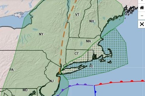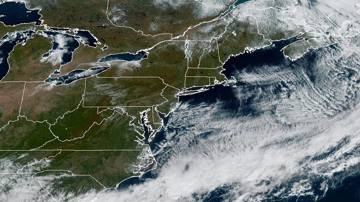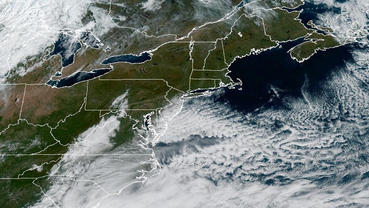
NEW YORK − The East Coast is bracing for heavy rains and strong winds as a nor’easter intensifies through the weekend.
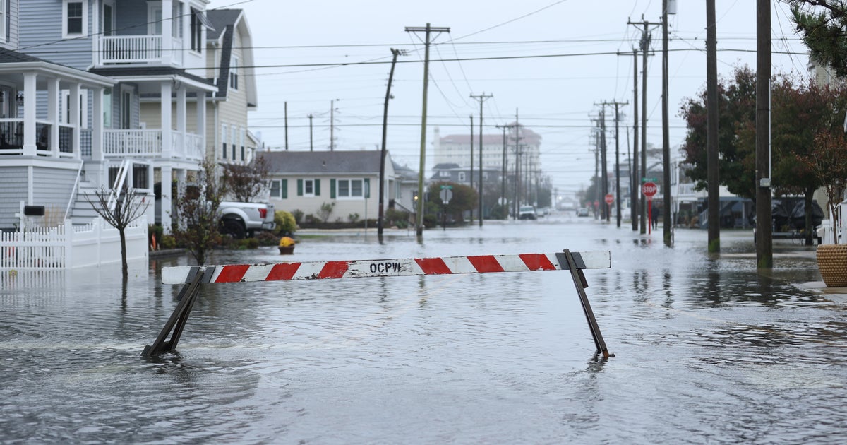
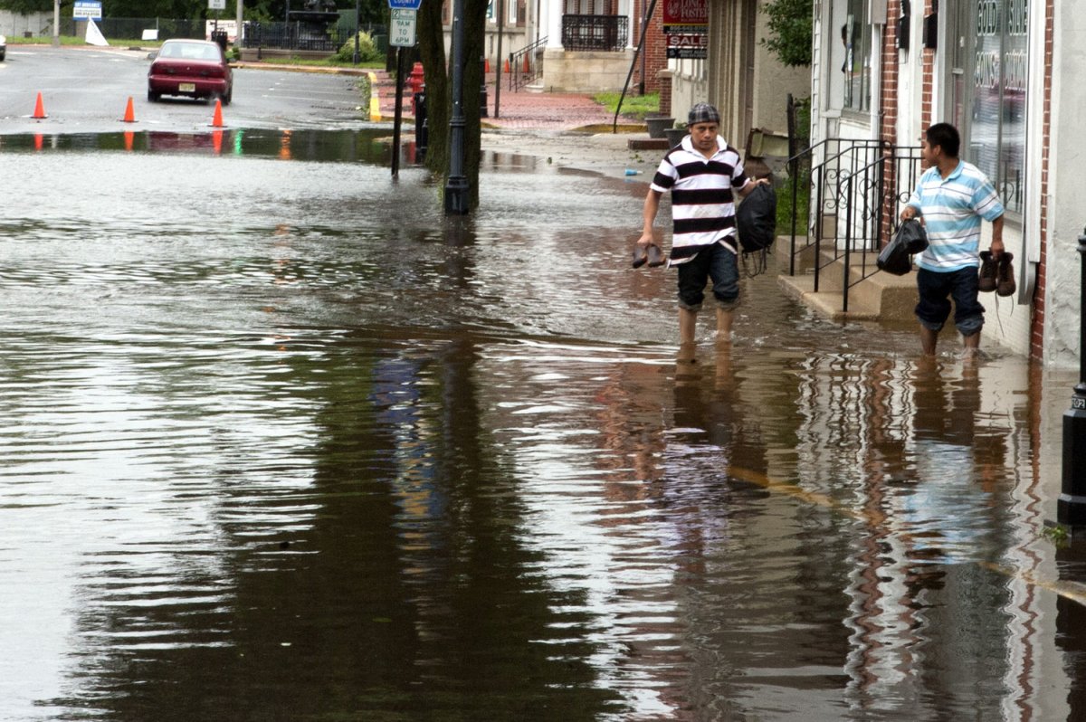
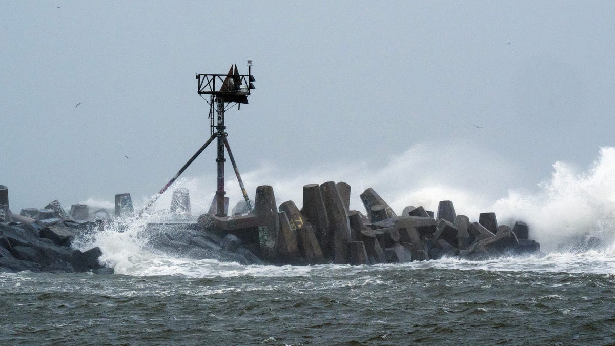
Beginning Saturday, Oct. 11, heavy rain was already affecting southeastern coastal areas, creating risk of localized flash flooding, with heightened risk in urban and low-lying areas, the National Weather Service said in an early morning forecast. Through Saturday night at least into Monday, rain will move northward into the Northeast as the storm strengthens with strong wind gusts exceeding 45 mph, coastal flooding and beach erosion.
“The storm won’t be in a hurry to exit,” Bill Deger, a senior meteorologist at AccuWeather, told USA TODAY.
Nor’easters are storms along the East Coast of North America that bring large, intense areas of low pressure with northeast winds. The latest formed Friday and has trekked northward in the Atlantic Ocean, Deger said.
The East Coast was already affected by astronomical tides from a super moon, putting waters higher than they normally would as the storm will then inundate coastal areas even more. While the highly populated I-95 corridor should brace for rains, coastal areas could see the most damage.