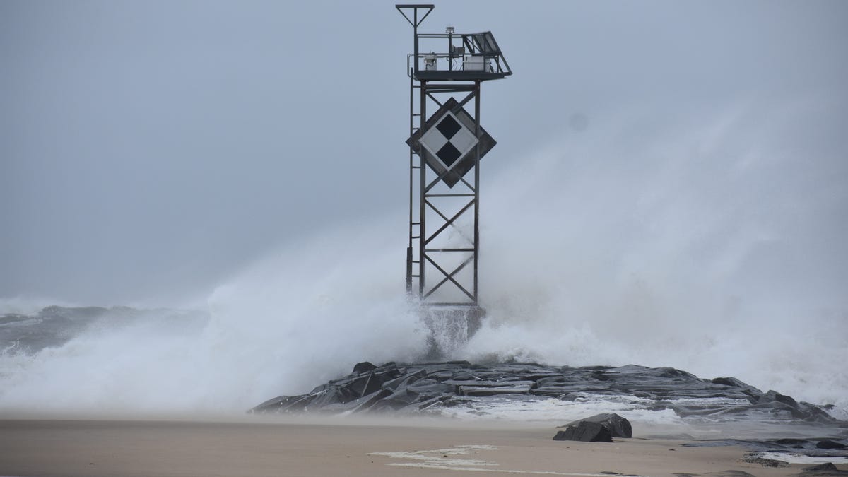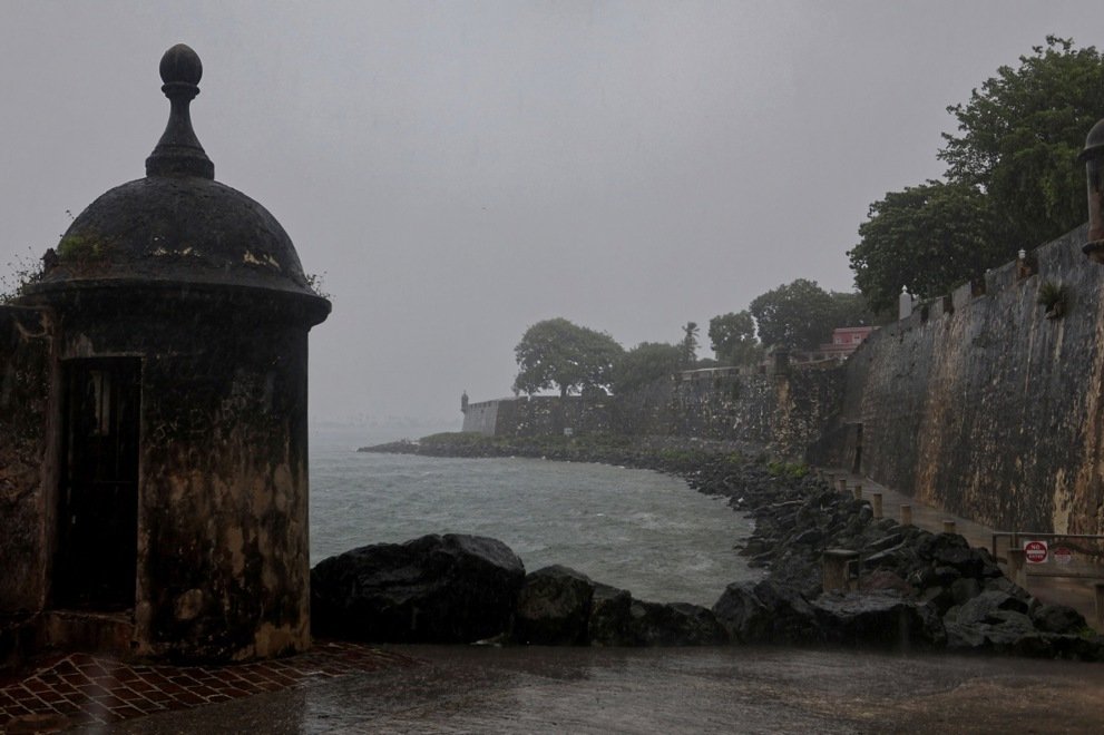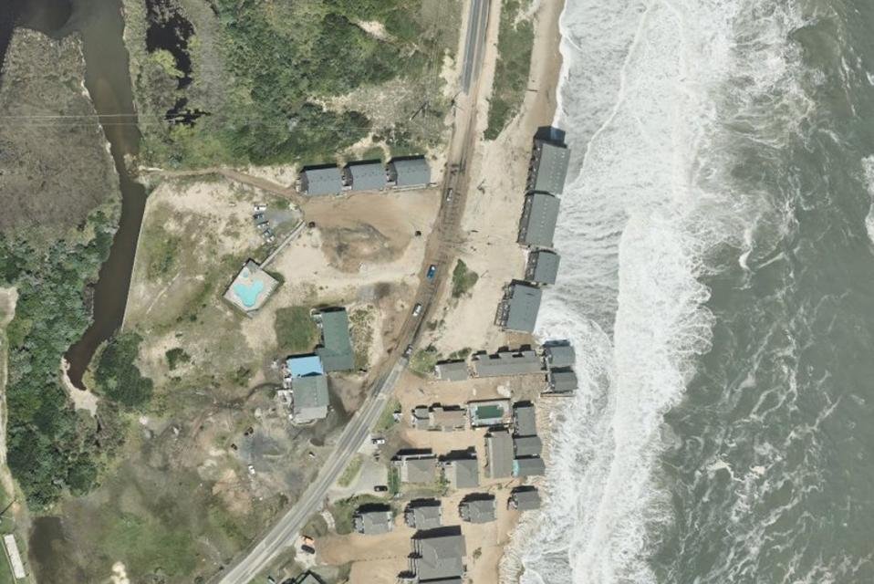
Aug. 26 (UPI) -- New aerial imagery of damage by Hurricane Erin in North Carolina has been released by the National Oceanic and Atmospheric Administration.
The images, from the National Geodetic Survey, are from above and were taken by a small NOAA plane that flew over the area soon after the storm, NOAA said.
Some images are already available on NOAA's website, and more will be added as they are collected, the administration said.
The images provide a cost-effective way to more easily see the damage to property, as well as the environment. It's captured by NOAA's Beechcraft King Air 360.
Related