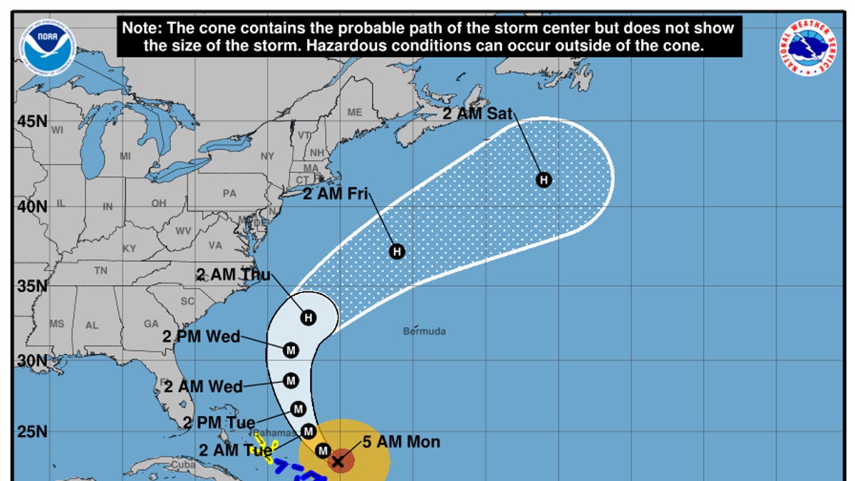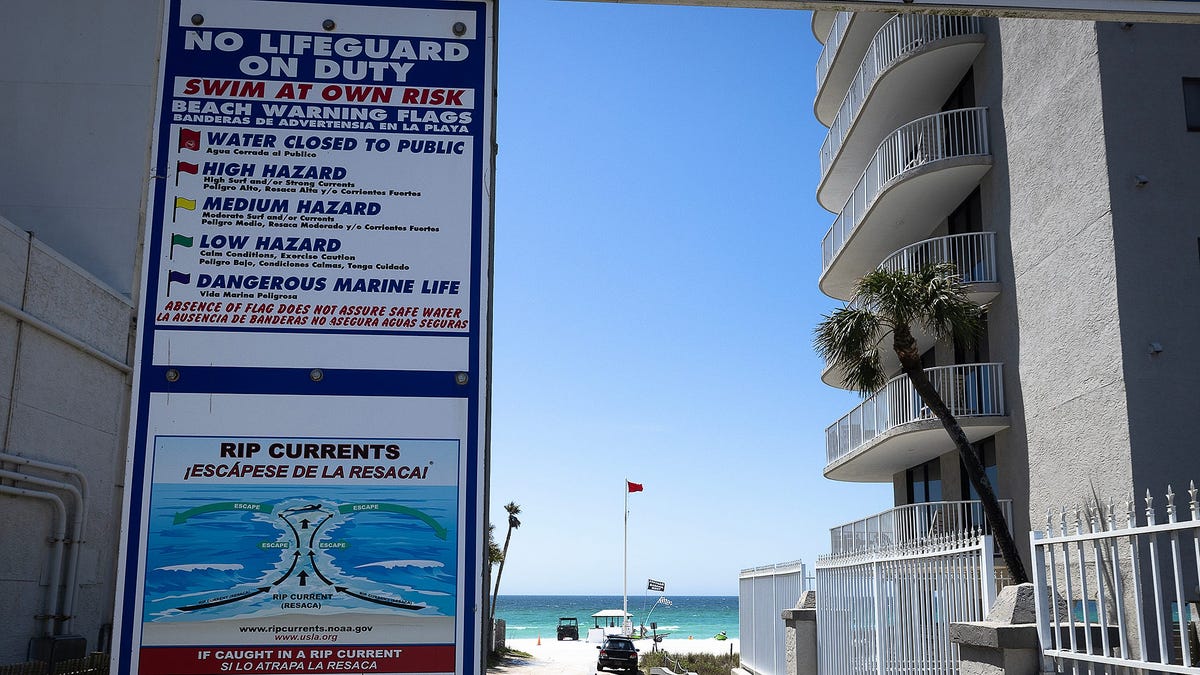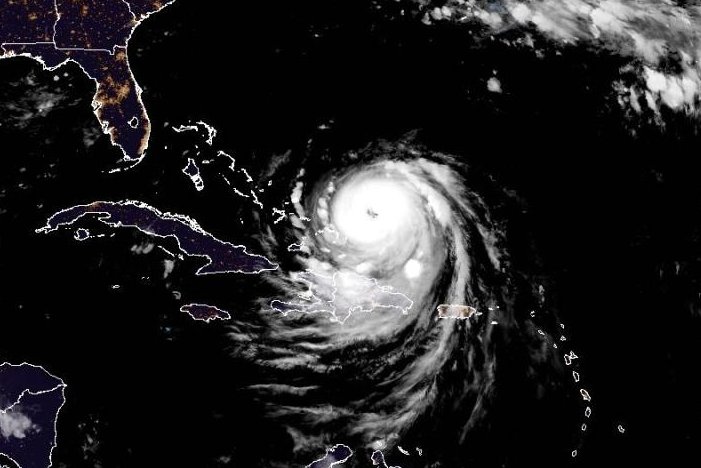
Aug. 18 (UPI) -- Hurricane Erin was located just east of the southern Bahamas on Monday morning, according to forecasters who are warning the eastern United States to expect life-threatening surf and rip currents later this week.
The storm was about 105 miles north-northeast of Grand Turk Island and 915 miles south-southeast of Cape Hatteras, N.C., the National Hurricane Center said in its 5 a.m. EDT update.
It was moving northwest at 13 mph and was packing maximum sustained winds of 130 mph, as it has had for several hours now.
The season's first Atlantic hurricane reached Category 5 status Saturday morning, the highest classification, after rapidly intensifying overnight Friday, when it became a Category 1 hurricane, the year's fifth named storm.
Related