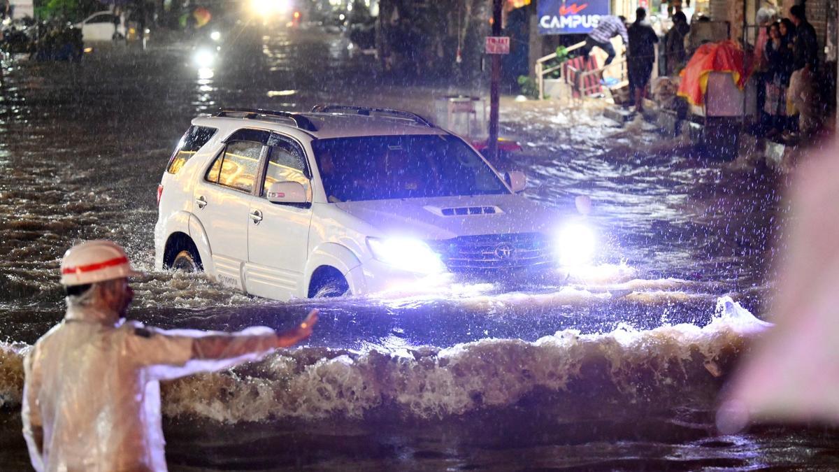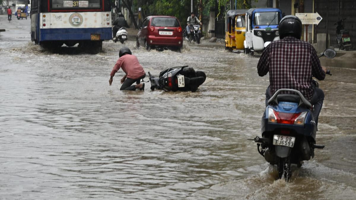
Hyderabad’s lakes may have disappeared over the last century of urbanisation, but the natural valleys remain. And on Monday evening, the valleys reclaimed their path. In a span of two hours, with nearly 10 centimetres of rain lashing central parts of the city — Jubilee Hills (12.4 cm), Yousufguda (11.7 cm), Srinagar Colony (10.6 cm) and Khairatabad (9.9 cm) — stormwater rose through the old drainage routes.
Areas such as Punjagutta (534 metres above mean sea level) and Ameerpet (537 metres above mean sea level) were waterlogged, bearing the full force of nature’s pushback against encroached terrain.
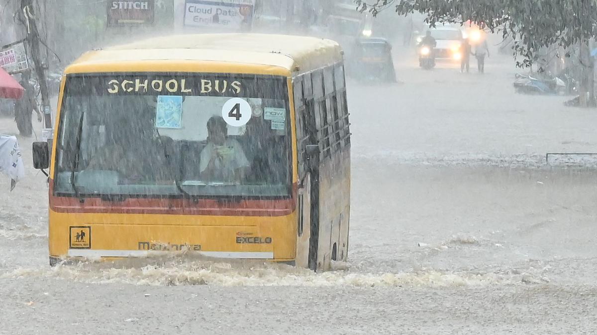
“From Ameerpet Sri Chaitanya to Khairatabad, it usually takes me about 25 minutes on the main road. Due to the flooding, I travelled through Road no.5 Jubilee Hills, KBR Park and now I am stuck ,” said Srinivas Naidu, an autorickshaw driver who ferries schoolchildren, stranded on Road no.14 Banjara Hills around 7.45 p.m on Monday. “It may take another hour to drop them,” he said about the two children in the autorickshaw caught in a traffic jam.
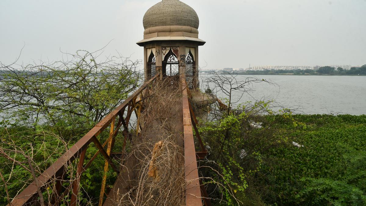
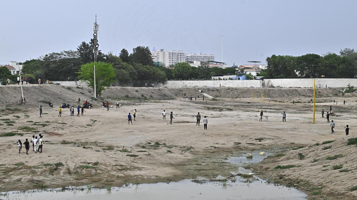
“The spot where Maitrivanam stands today was once an irrigation field with a small water body and a well. There were other lakes and water bodies that drained towards Panjagutta. There was a lake in Somajiguda too. Today, all that remains is the Katta Maisamma Temple outside Yashoda Hospitals,” said Anuradha Reddy of Indian National Trust for Art and Cultural Heritage.