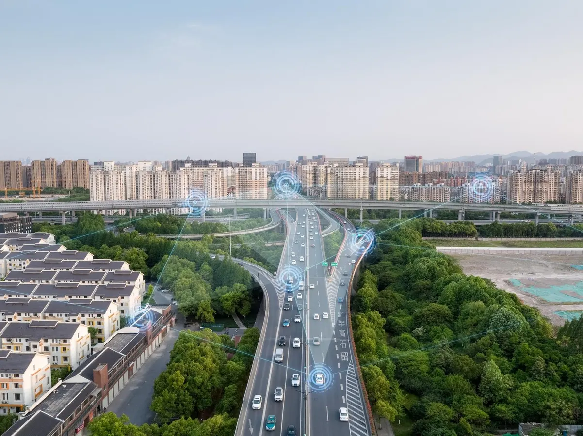
In recent decades, cities have become increasingly adept at amassing all sorts of data. But that data can have limited impact when government officials are unable to communicate, let alone analyze or put to use, all the information they have access to. This dynamic has always bothered Sarah Williams, a professor of urban planning and technology at MIT. “We do a lot of spatial and data analytics. We sit on academic papers and research that could have a huge impact on the way we plan and design our cities,” she says of her profession. “It wasn’t getting communicated.” Shortly after joining MIT in 2012, Williams created the Civic Data Design Lab to bridge that divide. Over the years, she and her colleagues have pushed the narrative and expository bounds of urban planning data using the latest technologies available—making numbers vivid and accessible through human stories and striking graphics. One project she was involved in, on rates of incarceration in New York City by neighborhood, is now in the permanent collection of the Museum of Modern Art in New York. Williams’s other projects have tracked the spread and impact of air pollution in Beijing using air quality monitors and mapped the daily commutes of Nairobi residents using geographic information systems. Cities should be transparent in how they’re using AI and what its limitations are. In doing so, they have an opportunity to model more ethical and responsive ways of using this technology. In recent years, as AI became more accessible, Williams was intrigued by what it could reveal about cities. “I really started thinking, ‘What are the implications for urban planning?’” she says. These tools have the potential to organize and illustrate vast amounts of data instantaneously. But having more information also increases the risks of misinformation and manipulation. “I wanted to help guide cities in thinking about the positives and negatives of these tools,” she says.
How AI can help make cities work better for residents
New technologies can help close the gaps between the government and the public. But they’re not without risks.
1,251 words~6 min read