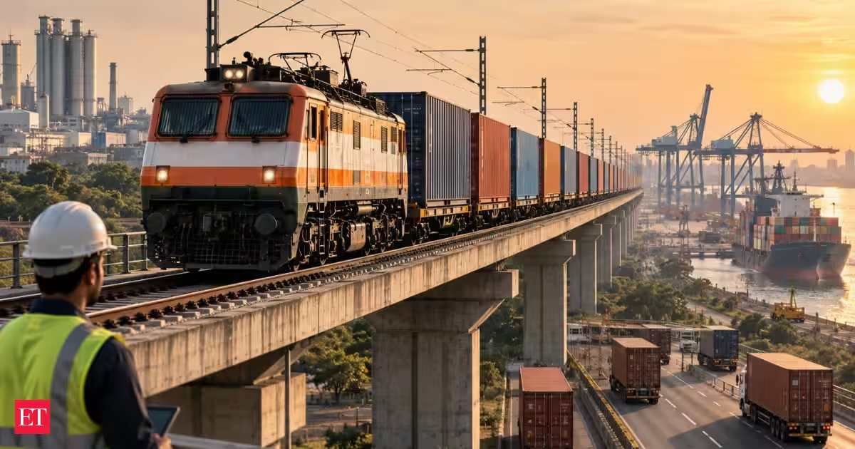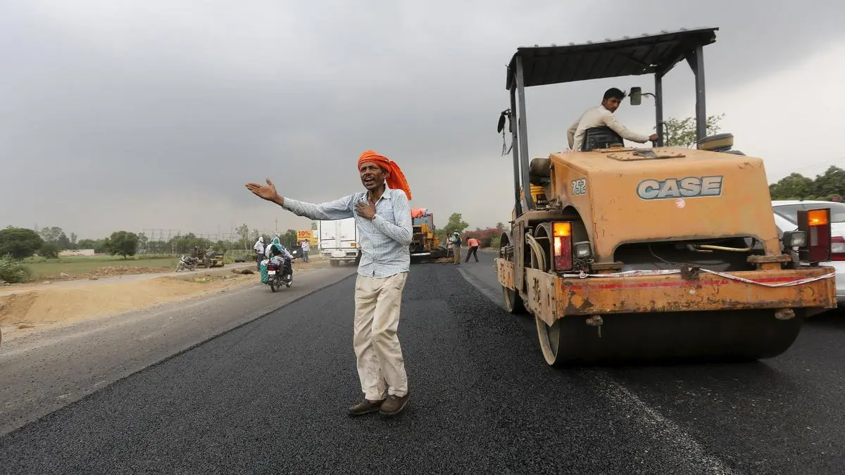
India is building its digital, physical and physital future at an unprecedented and historic pace, expanding its optical fibre cable network by an average of over 4.5 lakh route kilometres annually while simultaneously constructing roughly 11,000 kilometres of National Highways and electrifying 6500 km railway track, adding around 5,000 km of railway tracks each year. This massive expansion means that alongside a multi-year national rollout that adds an astounding 2.28 million kilometres of digital connectivity across our geography, the nation lays down approximately 30 kilometres of highways and 12 to 15 kilometres of new rail lines every single day. Yet, as these sprawling transport corridors, ultra-mega solar parks, and massive digital networks expand, a quiet technological support led by agricultural science is taking place right beneath the land surface.Bidders for mega-projects frequently need to prepare cost estimates for soil digging beforehand, even when no prior geological information is available. Because project tendering timelines are notoriously short, quick and reliable soil data can drastically alleviate this risk — especially when the project is located outside of India where local terrain data is hard to access. Further, after winning the bid, the executors are plagued by a recurring, multi-million-rupee nightmare: an engineering crew digging smoothly through soft soil suddenly strikes an unyielding wall of subterranean rock, or a newly laid road over deceptive black cotton soil begins to crack and buckle. Work grinds to a halt, machinery sits idle, and project costs skyrocket. To bridge this critical information gap, scientists at the ICAR–National Bureau of Soil Survey and Land Use Planning (NBSS&LUP) in Nagpur have developed a ground-breaking paradigm: Soil Intelligence-Based Predictive Engineering. By fusing decades of legacy pedological (soil) data with advanced machine learning, ICAR is granting infrastructure planners “X-ray vision” into the earth before a single shovel hits the ground — proving that agricultural research is a foundational driver of national development far beyond the farms.The Blind Spots of Speed and ScaleThe sheer velocity of India’s current infrastructure rollout makes conventional planning a bottleneck. As per available statistics, India’s total digital footprint grew dramatically from roughly 19.35 lakh route km to over 42.36 lakh route km, representing a massive multi-year rollout. Over the same recent five-year block, the nation has built a staggering 57,125 kilometres of National Highways. Concurrently, Indian Railways has electrified over 33,000 route kilometres, averaging roughly 6,600 kilometres per annum and bringing broad-gauge network electrification to nearly 99.6% at a rate of over 15 route kilometres wired daily. In clean energy, India has approved 54 to 56 large-scale solar parks with a sanctioned capacity of nearly 39.5 GW under its flagship solar scheme, pushing total ground-mounted solar past 122 GW across more than 100 public and private parks.Several government and private agencies involved in these monumental tasks—whether burying underground communication lines, erecting power transmission towers, or anchoring massive solar mounts—depend heavily on accurate subsurface data. Yet, conventional preliminary geotechnical surveys are heavily time- and cost-intensive. Because projects are moving so fast, these vital soil investigations are frequently skipped or curtailed. The result? Uncertain Detailed Project Reports (DPRs), unreliable cost estimates, and severe financial risks for bidders.The Agriculture-Infrastructure NexusICAR-NBSS&LUP has stepped into this vacuum with a proven, time-tested technology that operates across India and several other countries. By leveraging satellite remote sensing and machine learning, ICAR predicts site-specific geotechnical soil properties like soil depth, ultimate bearing capacity, (decisive factor in supporting the civil engineering structure), bulk density, etc. without requiring slow, expensive, and disruptive ground drilling.The methodology deploys machine-learning regression models on multi-source geospatial inputs within a fully automated pipeline. By processing satellite imagery, digital elevation models, terrain slope derivatives, lithology, and groundwater tables, ICAR’s soil classification engine generates precise, site-specific predictions. The system accurately forecasts soil depth (depth of soft, hard, or mixed strata) and other parameters. These parameters are directly used by engineering agencies for preliminary geotechnical design, DPR preparation, and pre-bid cost estimation.Compared with conventional field surveys, this digital solution delivers a 75 % reduction in both cost and time. A lean, three-member team can process approximately 1,000 kilometres of linear path per day, making it uniquely suited for large-scale, time-bound national planning. After validating this predictive approach over 50,000 kilometres across India, achieving a predictive accuracy of around 80% (R² values consistently above 0.78) against field-verified data, even in regions with sparse data, the algorithms are now standardised.Global Footprint and Commercial CredibilityThe system has been rigorously field-tested across India’s highly diverse physiographic regions—from the Himalayan mountains of Uttarakhand and Assam and the Thar desert of Rajasthan to the Deccan plateau and the Indo-Gangetic plains. Benchmarked against field data the technology has transcended national borders. Marquee public and private infrastructure players have already deployed this system to chart over 2,00,000 route-kilometres across India and international terrains, generating resources for ICAR’s research ecosystem while saving precious foreign exchange and allowing Indian companies to grow and compete with global players.Leading global infrastructure giants, including Adani Transmission Ltd., Sterlite Technologies Ltd., Tata Projects Ltd., and KEC International Ltd., have adopted the solution. For an international player like KEC International, which designs and constructs transmission lines across more than 100 countries, soil data is a critical determinant of financial survival. Foundation activities and project risk depend entirely on the type of soil. In an industry where a minor 0.1% margin hit on a revenue base of over ₹6,000 crore translates to an annual loss of ₹6 crore, accurate soil intelligence is paramount.When bidding for transmission line projects in geographically complex nations like the UAE, Saudi Arabia, Niger, Russia, Kenya, Morocco, Moldova, Mexico, Malaysia, Abu Dhabi, Nepal, Bangladesh, and Tunisia, missing or biased soil data can derail profitability. ICAR’s technology provides reliable third-party verification, serving as a neutral validator to check the soil condition claims of clients or project managers, thereby building bidding confidence. For small-ticket tenders where physical surveys are constrained by time or finance, this predictive data fills the void.Driving National ProgressThe success of this data and analysis has led infrastructure giants to deploy ICAR’s technology horizontally across multiple business units, extending its utility from power transmission lines into railways, solar energy installations, and underground cabling.By utilizing advanced pedological sciences to de-risk national and international building corridors, agricultural research has proven itself to be an indispensable engine of India’s macroeconomic growth. This technology demonstrates that investing in the science of the soil does not just feed the nation—it builds the very foundations of its global future. Building on the success, the ICAR scientists are now confidently bringing out predictive digital soil maps such as soil depth map with 90 m resolution and recently soil texture map with identical resolution. These maps would firmly move India towards digital agriculture especially in providing land parcel specific solutions to the farmers of India in near future.(ML Jat is Secretary, Department of Agricultural Research and Education (DARE) & Director General, Indian Council of Agricultural Research (ICAR), Ministry of Agriculture and Farmers Welfare, Govt of India; NG Patil is Director, ICAR-National Bureau of Soil Survey and Land Use Planning (NBSS & LUP), Nagpur)Published on September 9, 2026
Mapping the subsurface: How ICAR’s ‘Soil Intelligence’ is reshaping India’s mega infrastructure boom
From highways and railways to solar parks and transmission lines, ICAR’s predictive soil technology is giving infrastructure planners crucial subsurface intelligence while cutting the time and cost of preliminary surveys.
1,174 words~5 min read