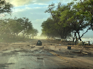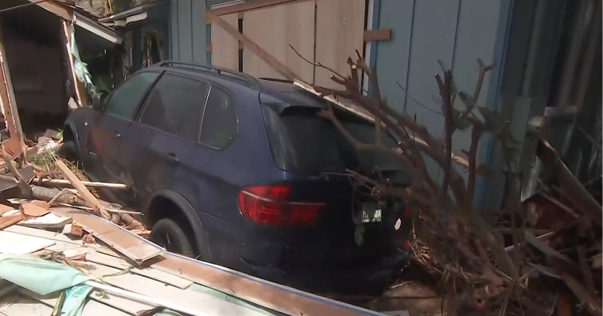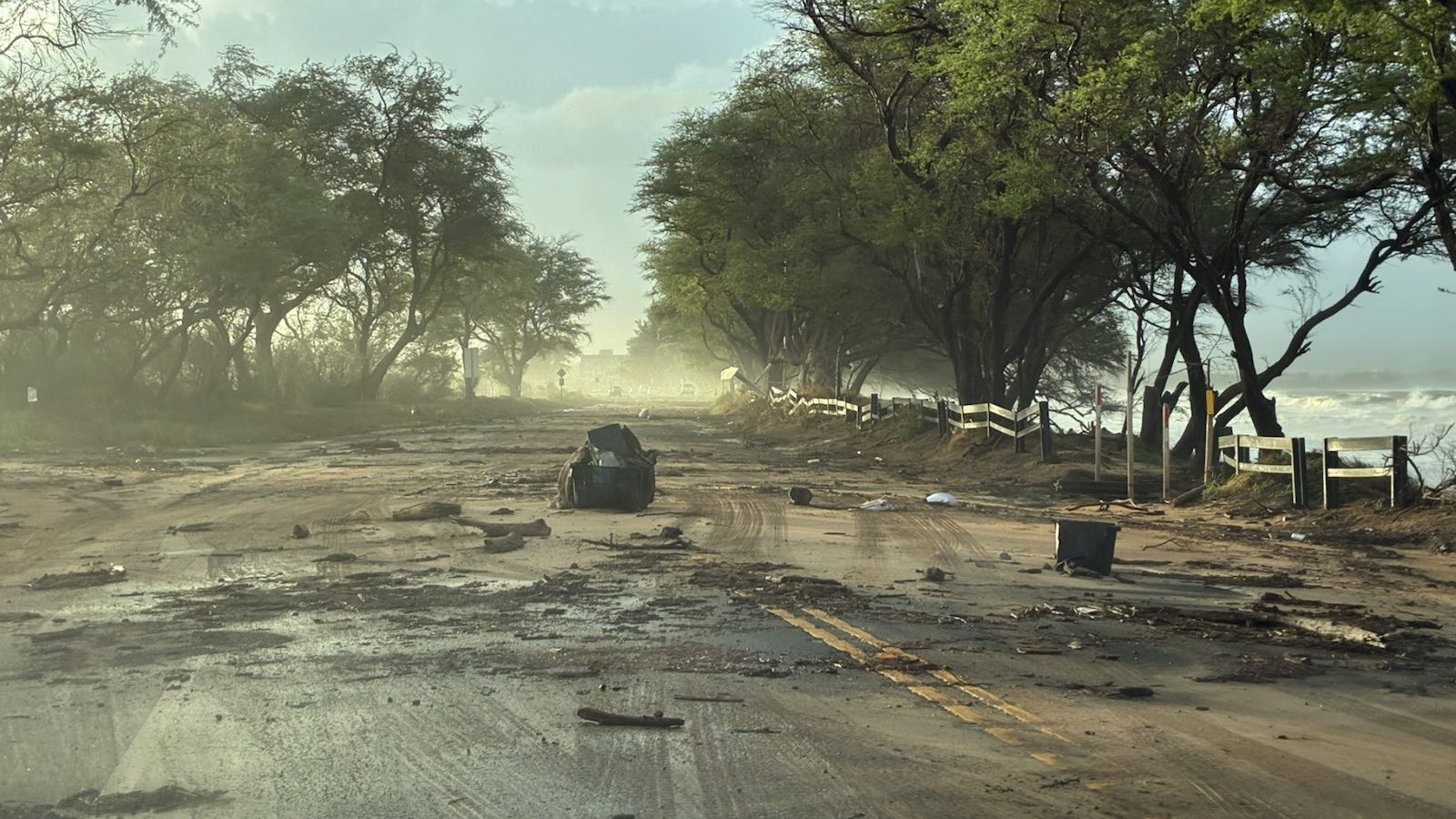
Shrieking winds and high surf affected Hawaii’s main islands from Monday night into early Tuesday, September 7-8, 2026, as Hurricane Lowell past just to their west. Shortly after sunrise on Tuesday, debris was strewn across North Kihei Road on Maui. (Image credit: Hawaii DOT)
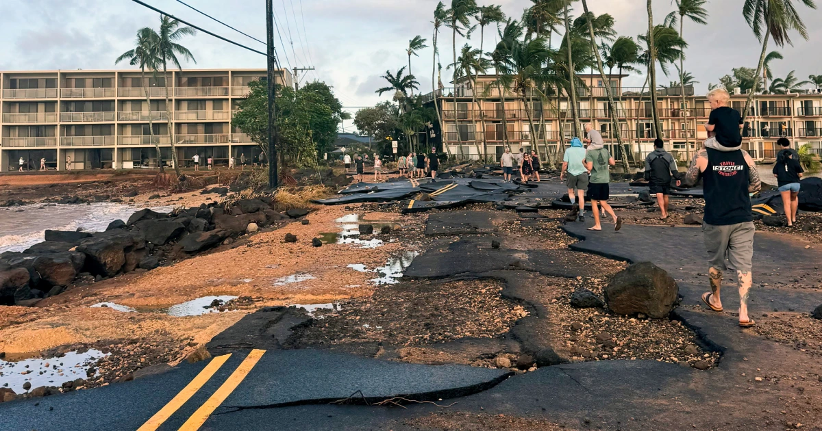
Hurricane Lowell delivered a major blow to Hawaii, bringing torrential rain, damaging winds, dangerous surf, widespread flooding, prolonged power outages, and the first tornado watch ever issued for the state.
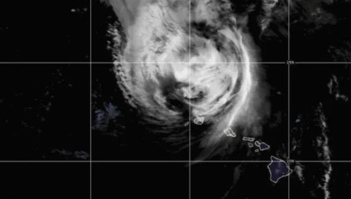
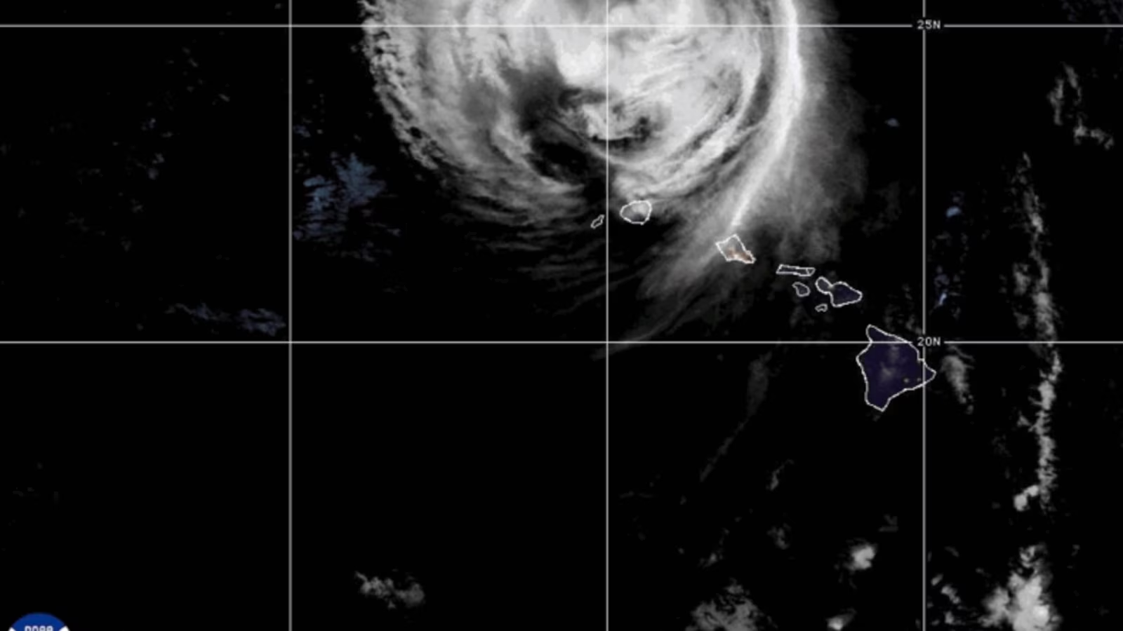
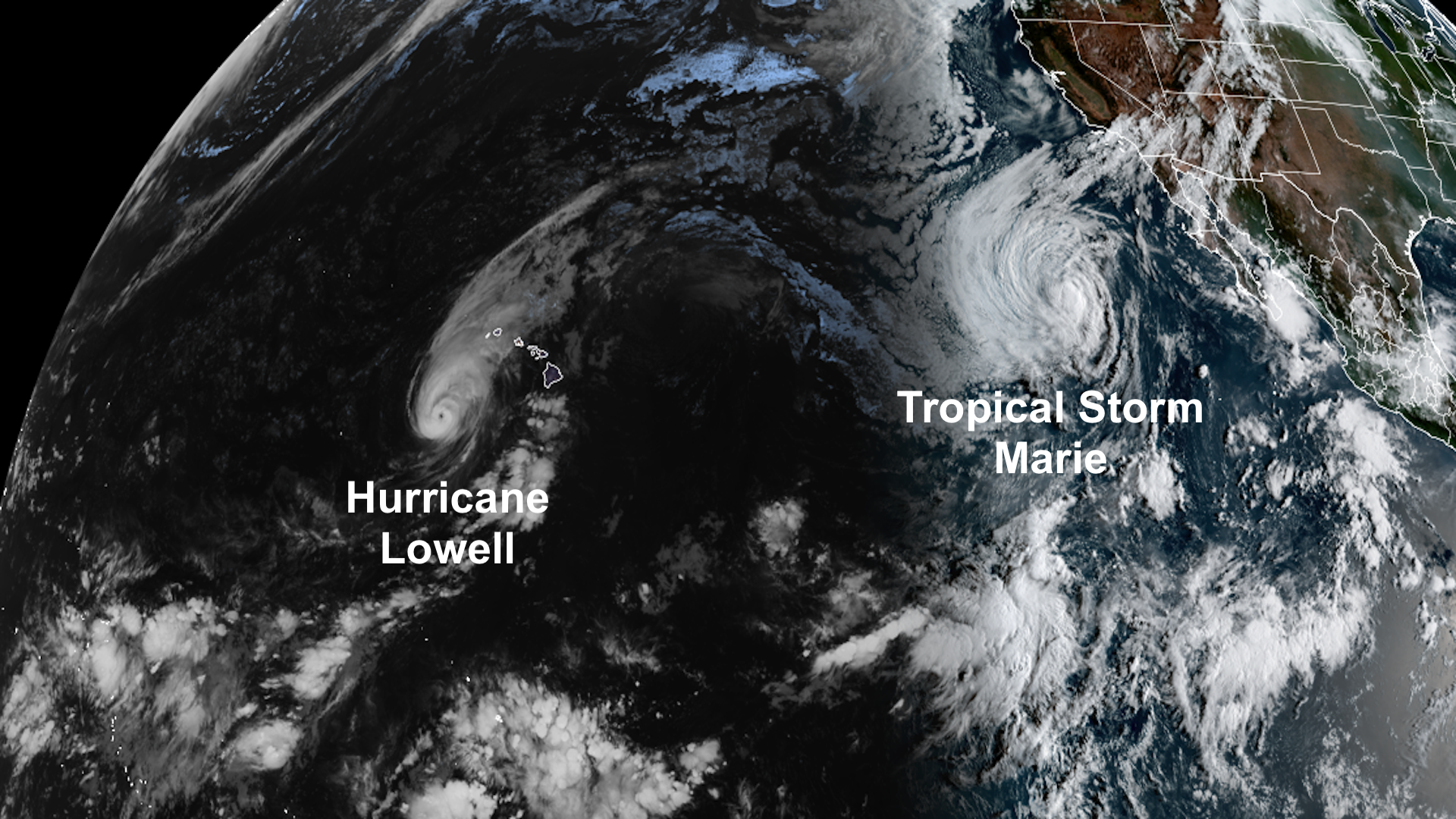
The storm’s center stayed just offshore, passing west of Kauai and Niihau, but Lowell’s large circulation meant significant impacts spread well beyond the eye. It was another reminder that a hurricane does not need to make landfall to cause serious problems.
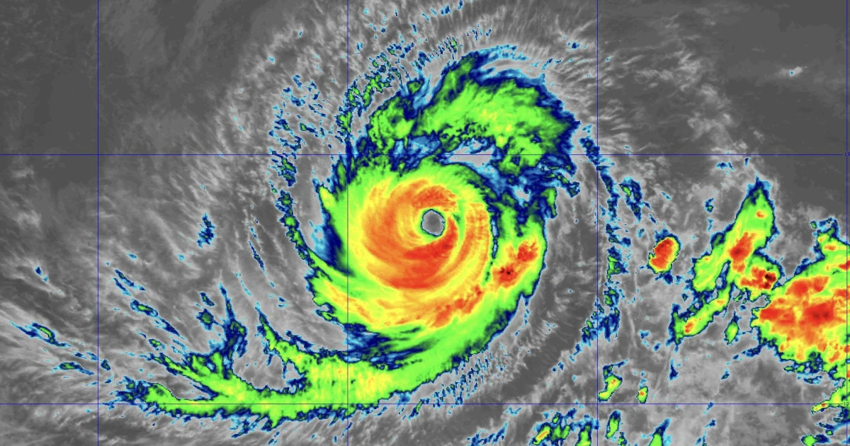
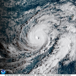
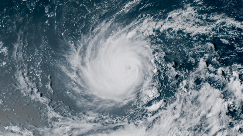
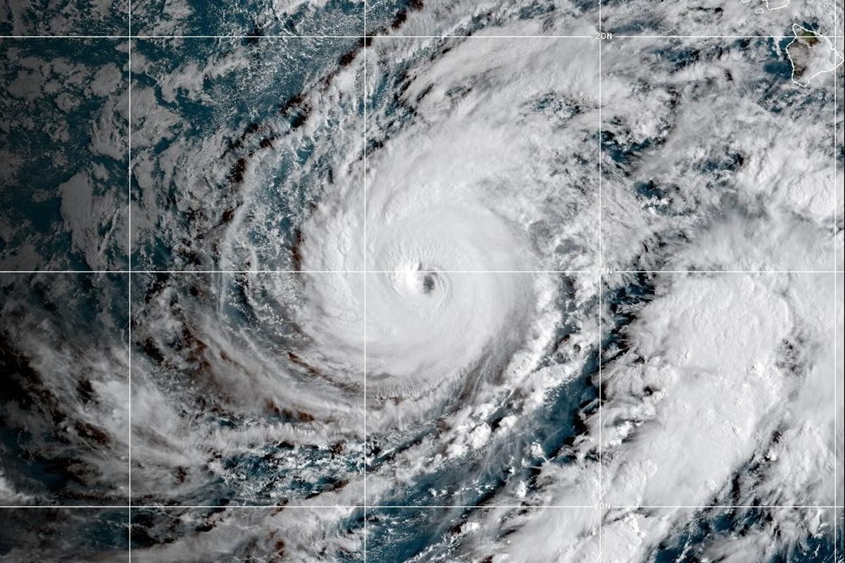
Lowell had earlier undergone rapid intensification over the open Pacific, reaching Category 5 strength with maximum sustained winds of 160 mph. It gradually weakened on approach to Hawaii and was a Category 2 hurricane during its closest pass, tracking north-northeast just west of Kauai.
Tropical-storm-force winds extended nearly 200 miles from the center, allowing hazardous conditions to spread across a large part of the state. The National Weather Service Doppler radar in Kauai was knocked out of service during Lowell and remained offline Tuesday morning HST.