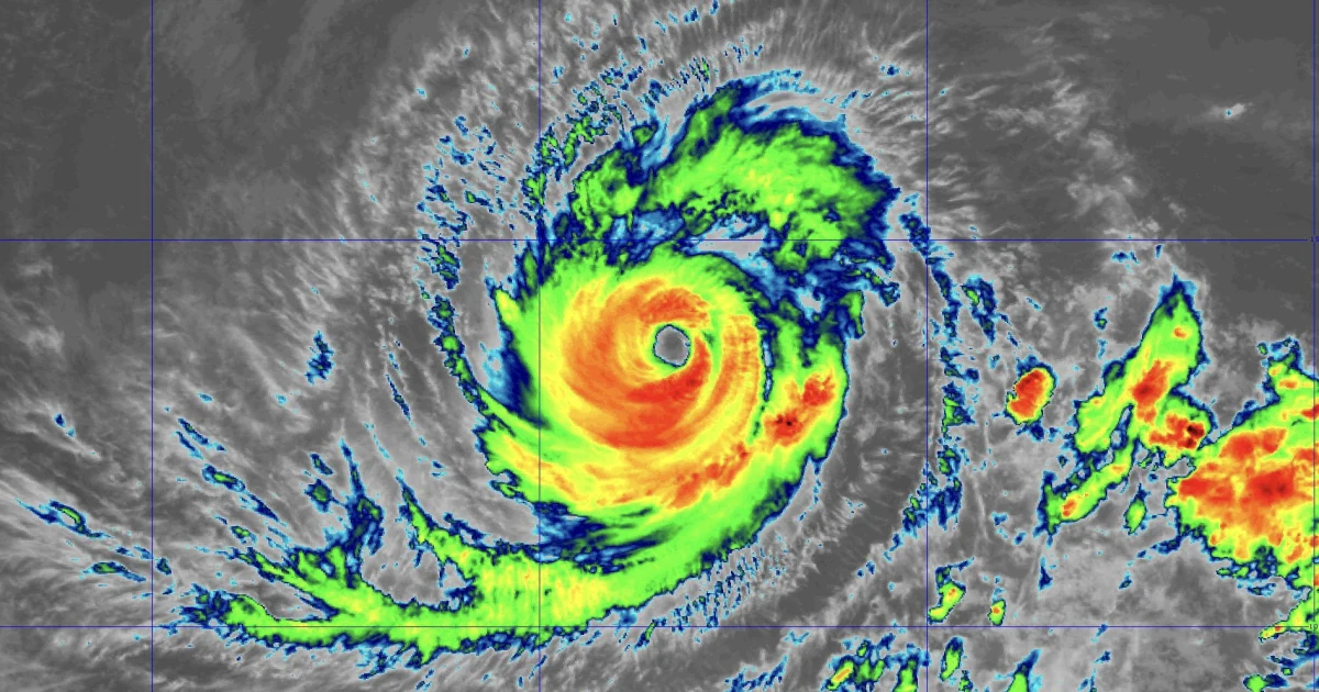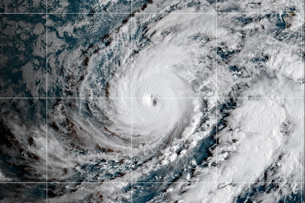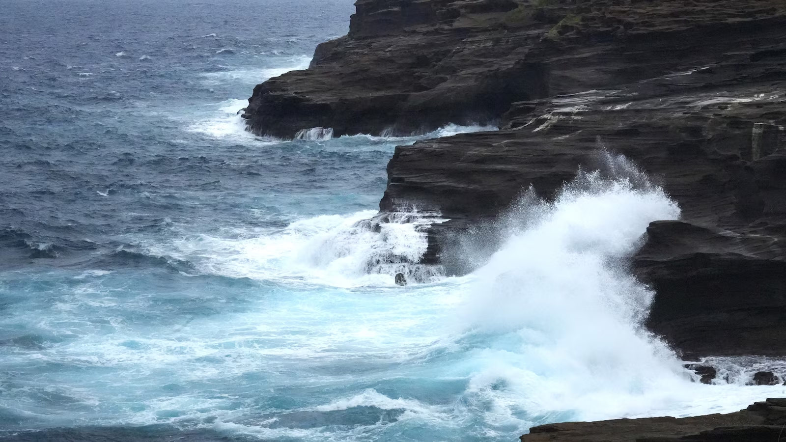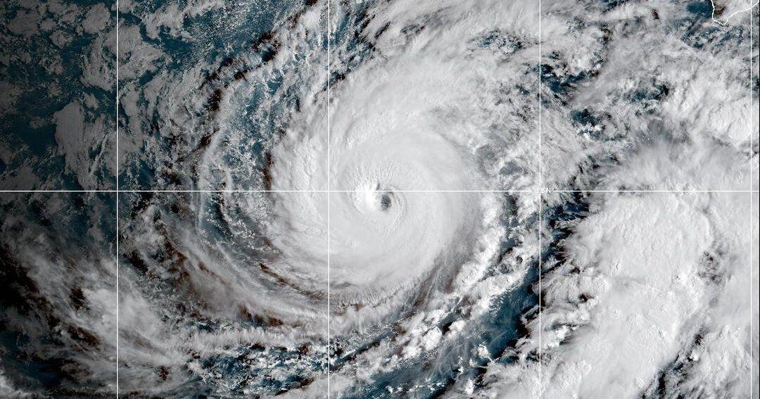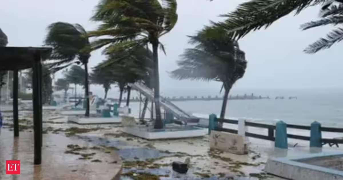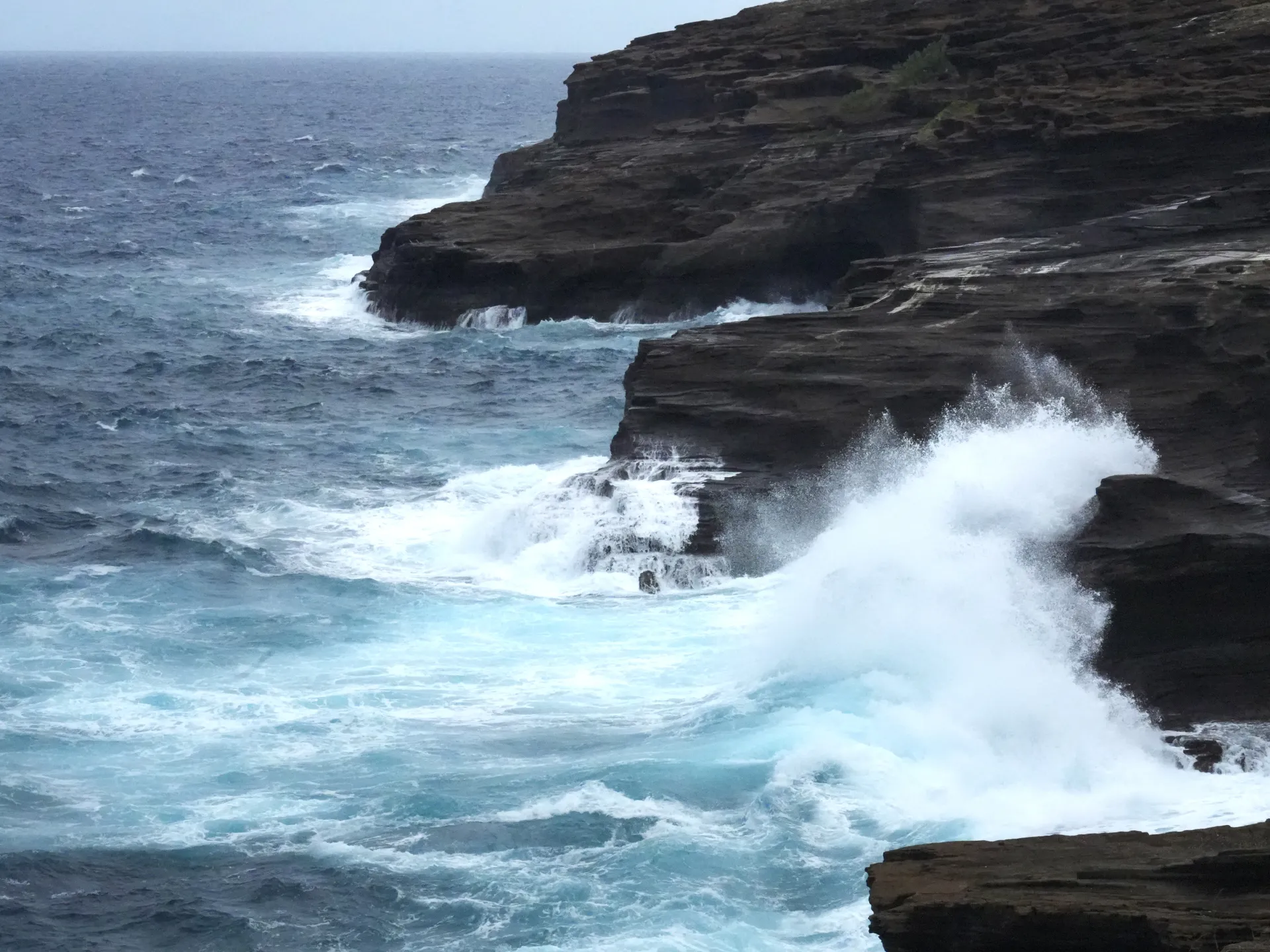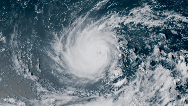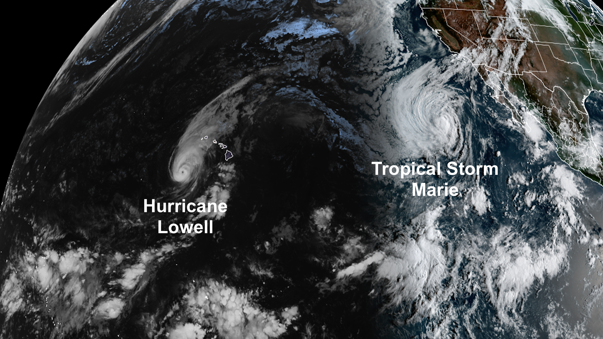
Update: As of 11 p.m. HST Monday (5 a.m. EDT Tuesday). Hurricane Lowell was making its closest approach to Hawaii’s main islands, centered about 90 miles (145 kilometers) west of Lihue, Kauai, and about 45 miles west of Puuwai. Lowell remained a strong Category 2 hurricane, with maximum sustained winds of 110 mph (175 km/h) and was accelerating toward the north-northeast, moving at about 20 mph (28 km/h). Lowell will be gradually weakening as wind shear continues to increase and sea surface temperatures along its path decrease. Beginning Tuesday, weakening is expected to occur more rapidly. Lowell will likely become a post-tropical system by next weekend as it moves over the open waters of the Pacific. Tropical-storm conditions extended across Kauai on Monday night. On the southeast coast of Kauai, the Lihue Airport reported sustained winds of 53 mph (85 km/h) with a gust to 79 mph (127 km/h). These winds are strong enough to cause substantial tree damage and power outages. A wind gust to 45 mph (72 km/h) was reported from the Daniel K Inouye International Airport in Honolulu. Keep in mind that wind speeds can be around 30% higher across mountain ridges and on the windward and leeward sides of the islands. Large swells will also be dangerous and potentially life-threatening. The risk of high surf and coastal hazards will remain throughout much of the week across the Hawaiian Islands. The biggest concern continues to be the heavy rainfall affecting Kauai County and Oahu. However, rainfall across the Island of Hawaii could also become life-threatening. Storm-total rainfall of 4 to 8 inches is forecast, with isolated amounts of up to 12 inches on the Big Island. Isolated totals of 10 inches are possible across Maui and Oahu. On Kauai, rainfall could reach 16 inches in isolated locations, with widespread totals of 6 to 10 inches expected.
Another hurricane to bring torrential rains to Hawaii » Yale Climate Connections
Isolated 16 inches of rain could produce flash floods, and could cause streams to overflow. Power outages and storm surge also possible.
1,590 words~7 min read