The Mercator Projection did not only distort geography, it distorted ambitions, argues
“Perception is reality.” – Lee Atwater.
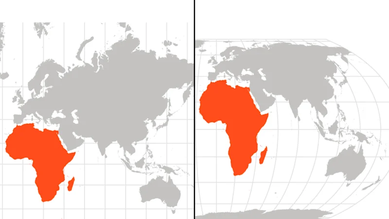
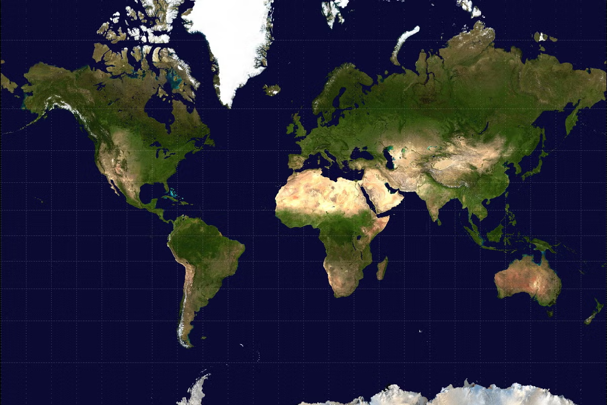
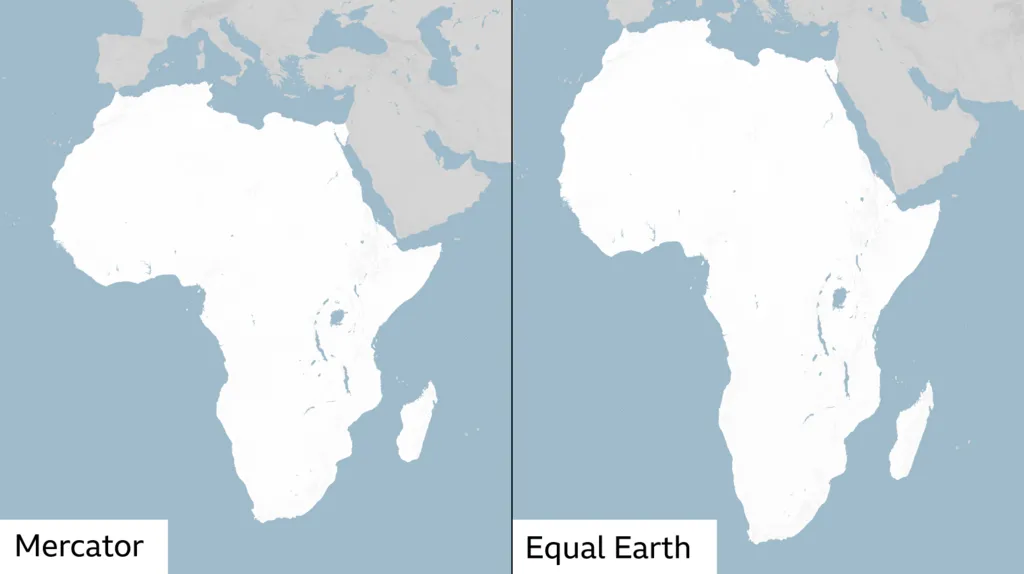
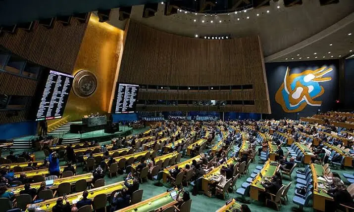
Yesterday, the United Nations General Assembly passed a resolution with an overwhelming majority. The resolution encourages governments and institutions to replace the Mercator projection, the 16th-century map that has shaped how generations have visualised the world, with the Equal Earth projection, which shows continents in their true proportions. The US was the only country that dissented. The American position is worth taking seriously: the US argued the resolution promoted an “ideological agenda” and distracted from “genuine problems of international peace, prosperity or good relations”. But, in my view, the vote was not a gimmick. It was an acknowledgement that perception matters in global affairs, and that maps are the foundation on which perception is built.
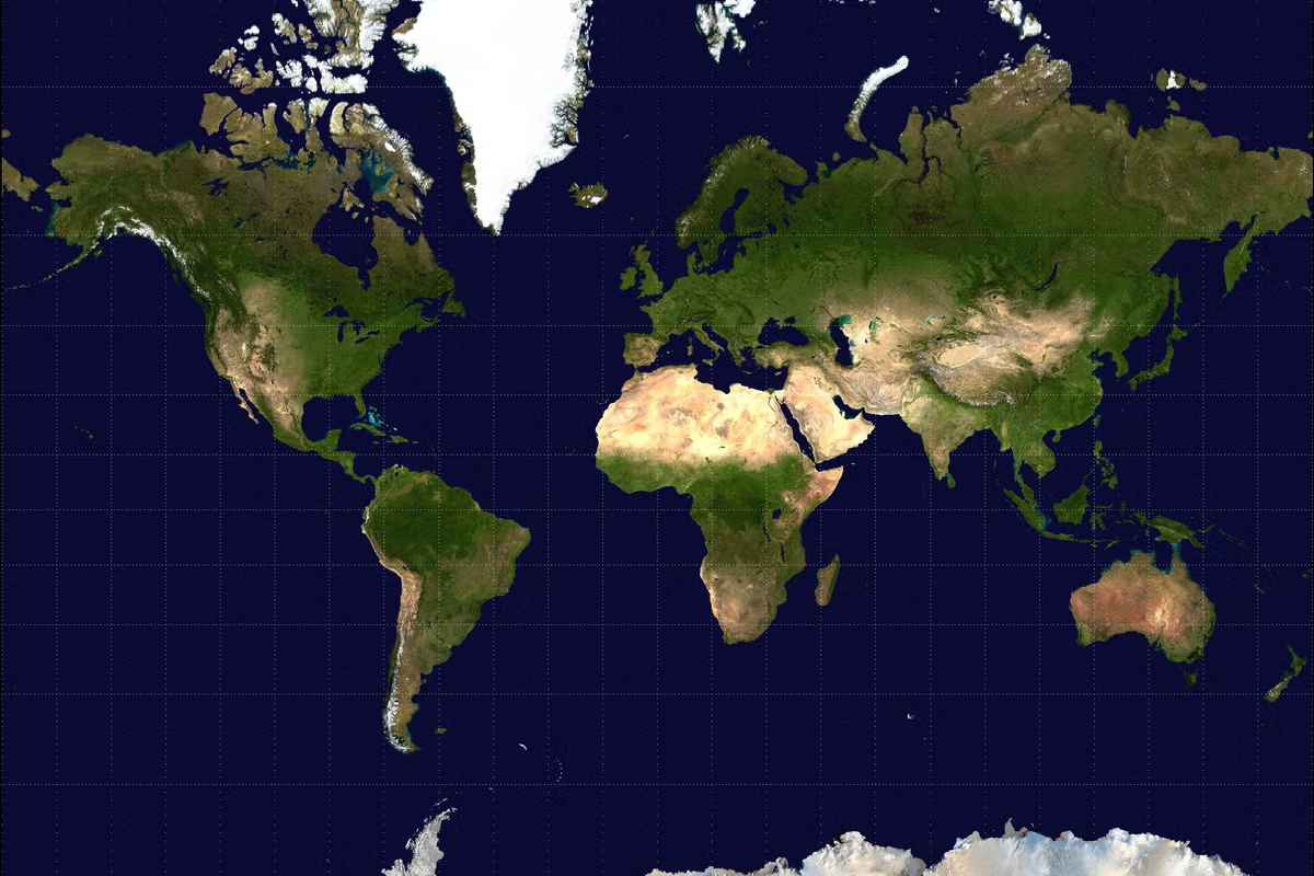
A little bit of history: the 16th-century Flemish cartographer, Gerardus Mercator, designed his projection for a specific purpose: navigation. Mercator’s map allowed sailors to plot straight-line courses while maintaining constant compass bearings, and for that purpose, his map was brilliant. The trade-off was that it preserved angles and shapes at the expense of size: regions near the Earth’s poles were greatly enlarged, while landmasses near the equator were shrunk. On a Mercator map, Greenland appears roughly the same size as Africa, but in reality Africa is actually fourteen times larger. However, this distortion sticks in people’s minds, and herein lies the rub…