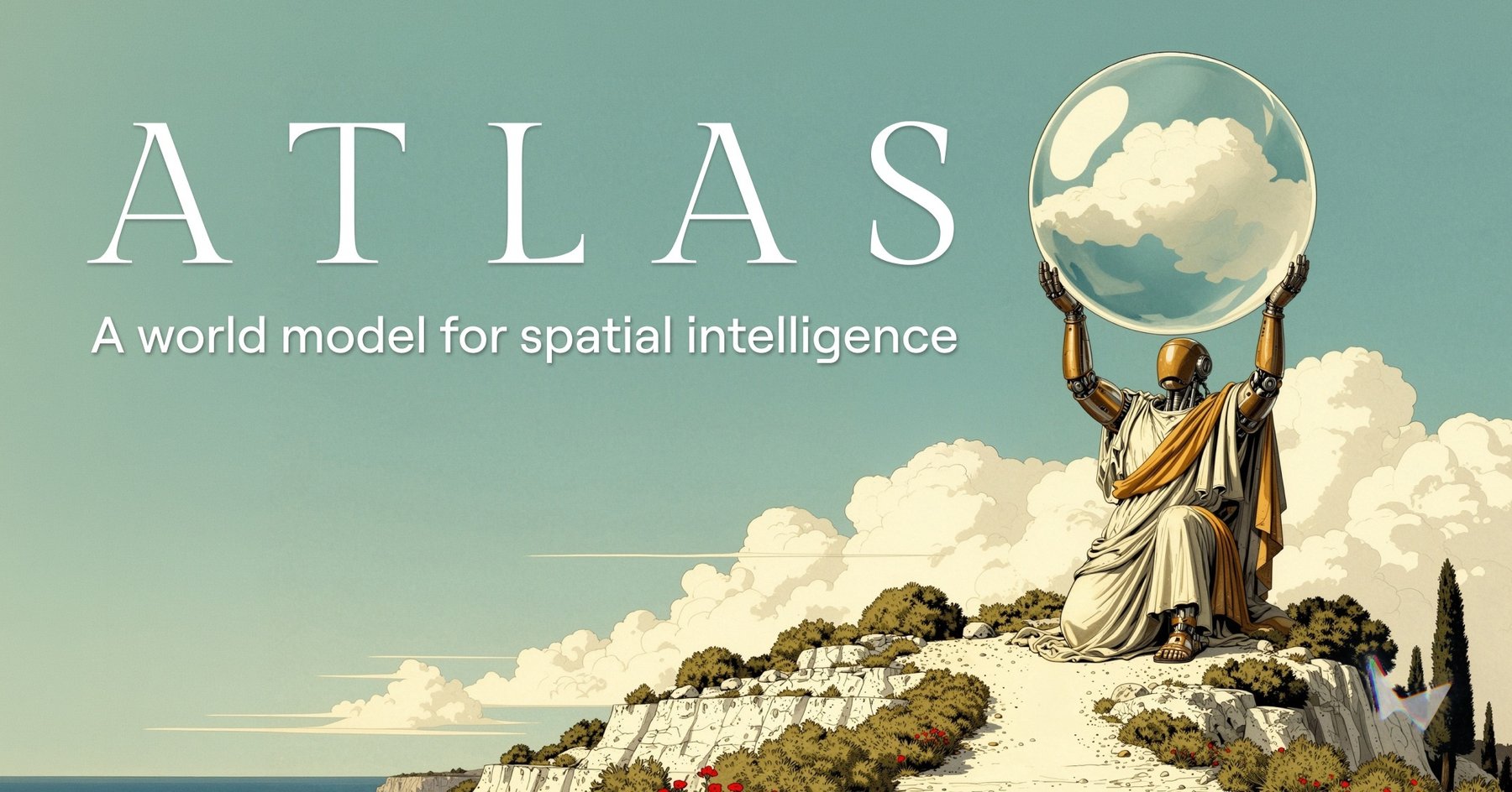
Geospatial intelligence is booming, with the market projected to exceed $18 billion globally by 2026. This growth is reshaping how autonomous systems perceive and navigate their environments. AI-powered models are driving innovations in self-navigating vehicles, urban planning, and more, replacing the reliance on traditional 2D maps with real-time, multidimensional data interpretation.
Why World Models Go Beyond Maps
Traditional tools like satellite imagery and vector maps face significant limitations in representing the real world’s dynamic and immersive nature. Autonomous vehicles and robotics demand real-time situational awareness, requiring tools that go beyond static data.
World models, such as Niantic’s geospatial platform and MetaEarth3D, simulate 3D environments with temporal dynamics, transforming industries. Atlas Navi’s spatial intelligence engine, for instance, predicts traffic patterns and travel conditions hours into the future, reducing bottlenecks and fuel consumption. These capabilities have a direct impact on mitigating environmental and economic inefficiencies. Robots equipped with similar technology can proactively avoid hazards or monitor worker positions in high-risk job sites like construction and mining.