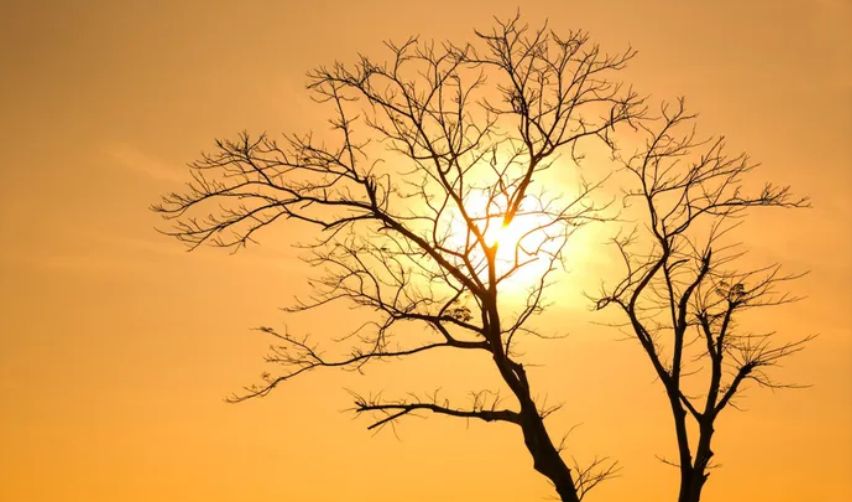
A powerful El Niño climate pattern is rapidly developing in the Pacific Ocean and is expected to influence South Africa's weather over the coming months. The World Meteorological Organization says there is more than a 90% chance the event will persist until at least November, increasing the risk of extreme heat, drought and veld fires across the country's summer rainfall regions.
Days later, the South African Weather Service went further, warning that the developing event could become the strongest El Niño in living memory, with sea surface temperature anomalies already exceeding the 2°C threshold that defines a very strong event and forecasts pointing toward a possible breach of 3°C.
What distinguishes this warning from routine seasonal forecasting is the swing it represents. The 2024/25 and 2025/26 seasons were unusually generous: South Africa's summer grains and oilseeds crop reached 20.3 million tonnes in 2025/26, only marginally down from the second-largest harvest on record the year before, and dam levels and grazing veld across the region benefited from consecutive years of La Niña-driven rain. That cushion matters, but agricultural economists including Wandile Sihlobo have cautioned it will only partially offset a genuinely severe El Niño, particularly for dryland farming areas without irrigation infrastructure. The forum's own scientists were careful to frame the outlook as a probabilistic signal rather than a locked-in certainty for any single town or district ,but the broad regional pattern, echoed independently by South Africa's, Zimbabwe's and other national weather services, leaves little ambiguity about the direction of travel.