In the early 2000s, attempts to track cetaceans from space yielded only unidentifiable dark blobs; now, very high-resolution satellite imagery allows researchers to pinpoint specific whale species from orbit.This optical satellite technology provides access to remote parts of the world’s oceans, helping scientists establish vital baseline data on whale mortality trends, sea surface temperatures and ocean currents.Researchers emphasize that satellites will supplement, not replace, traditional field-work, as data quality remains vulnerable to environmental limitations, including cloud cover and heavy winds, and to satellite availability.Scientists are building global networks to improve consistency in data collection and are advocating for increased access to satellite data to better understand causes of whale strandings around the world.
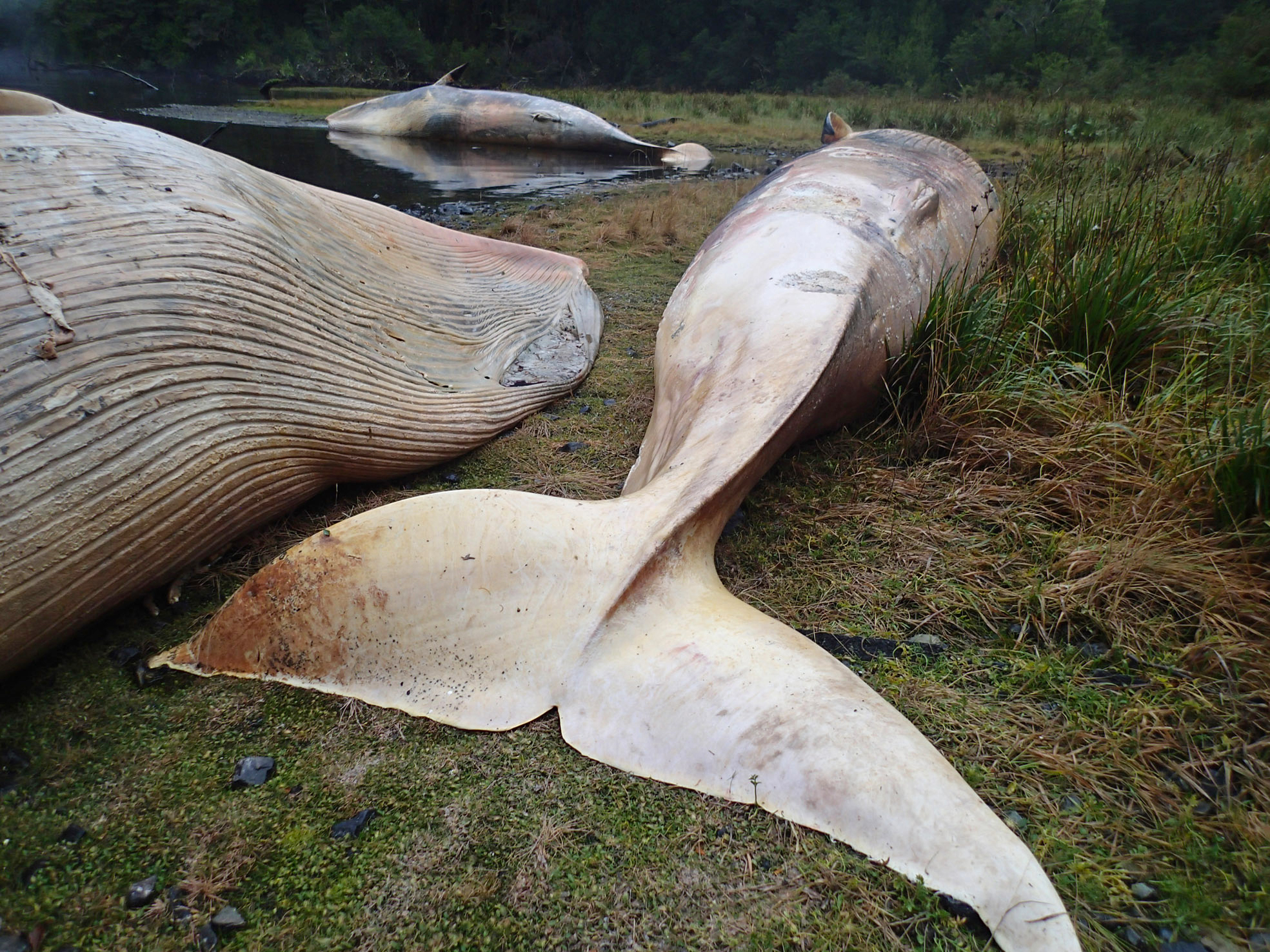
In 2015, the remote coastal fjords of southern Patagonia turned into a whale graveyard. That June, scientists found 337 dead and decomposing sei whales, a species of baleen whale, on the beaches between the Gulf of Penas and Puerto Natales in Chile. Researchers flew over the area, then took samples from the rotting bodies, trying to find clues as to why this happened.