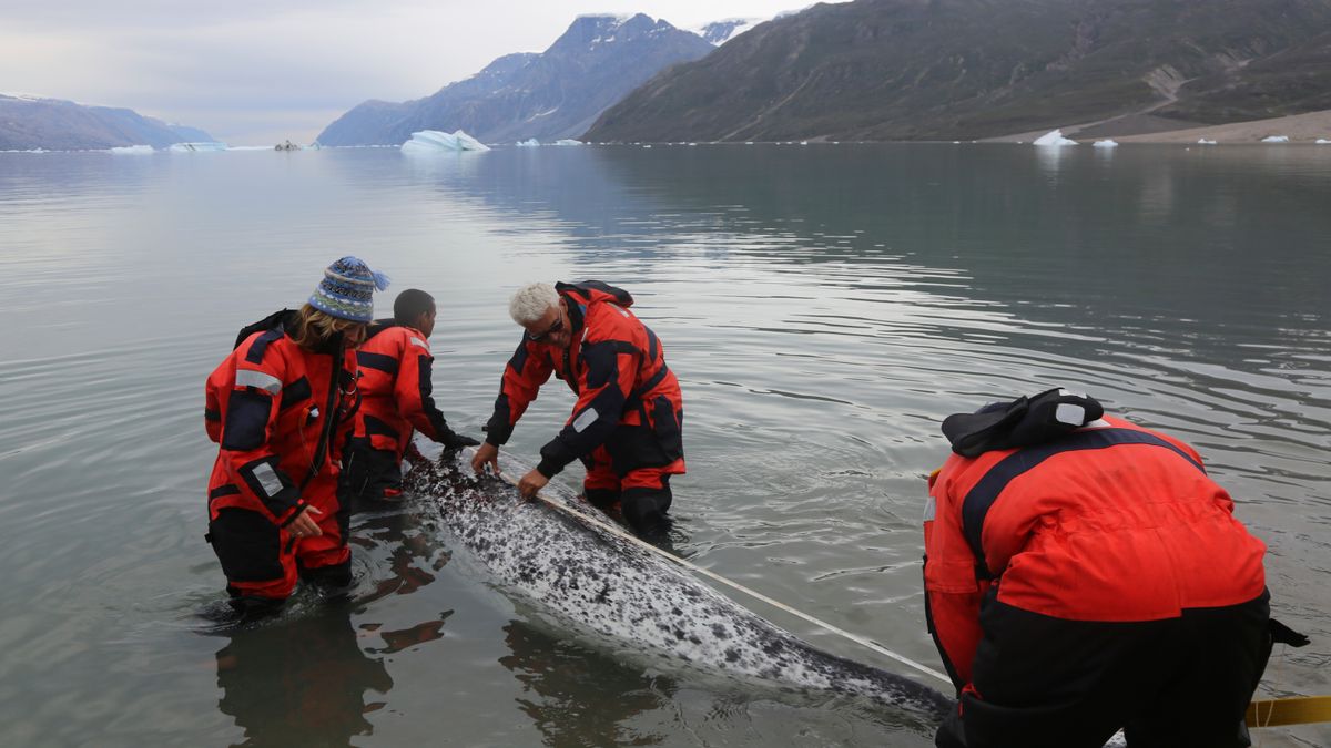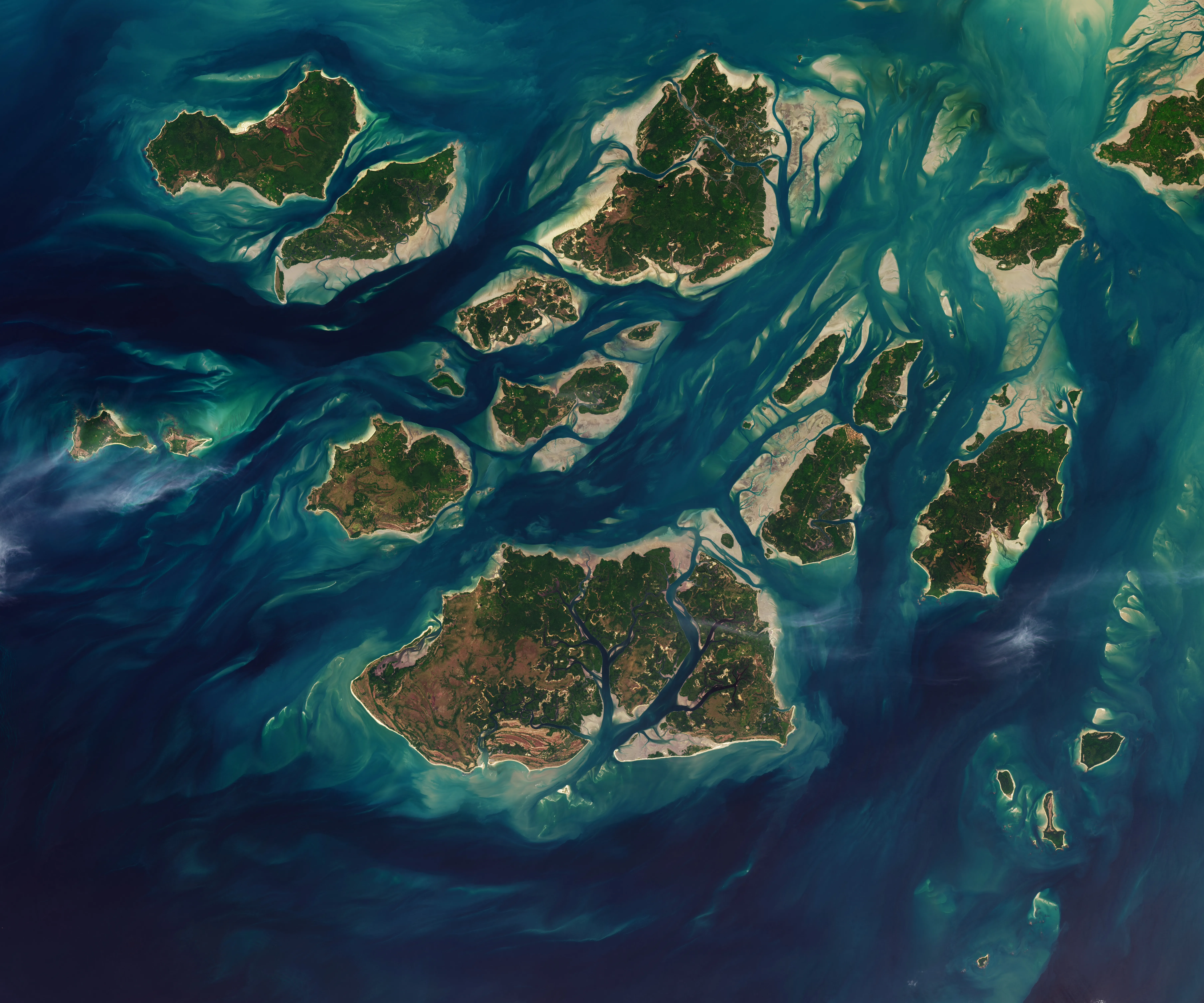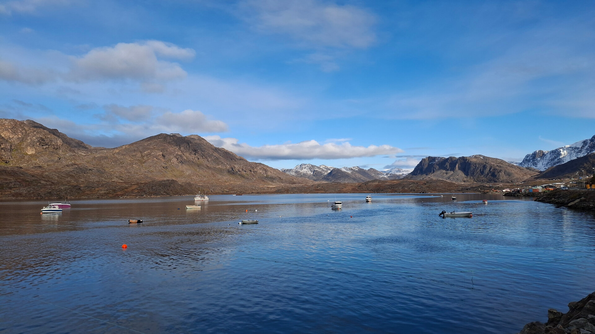
In Greenland, there are few water level gauges and significant variations in the tides. A new method may enable researchers to use satellite imagery to measure water levels precisely. Shown is Kangerluarsunnguaq near Sisimiut in Greenland. Credit: Christina Tækker/DTU
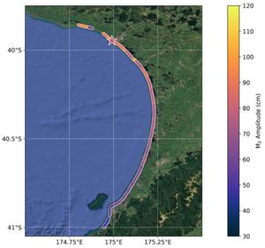
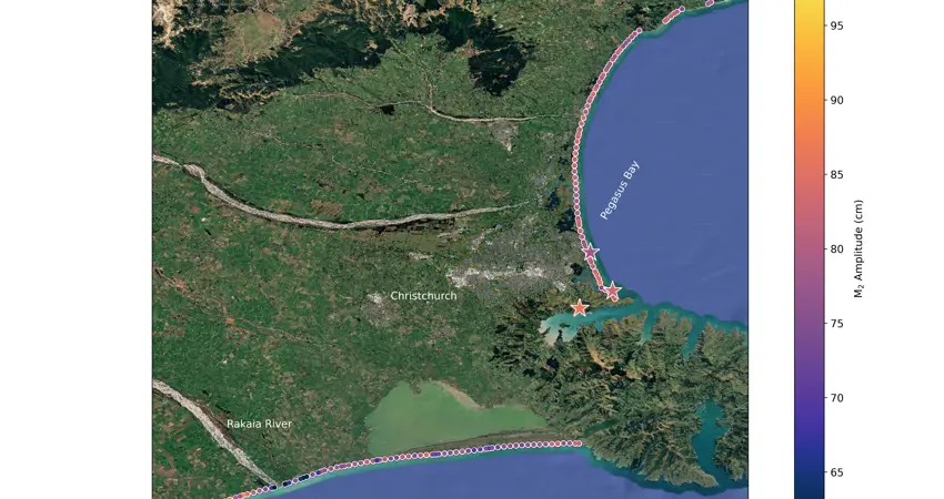
When high or low tide occurs, the water does not necessarily rise and fall uniformly along the entire coastline. In fact, the height of the tide in a bay can vary by up to one meter (3 feet) from one location to another just a few kilometers away.
This is shown in a new study published by researchers from DTU Space in collaboration with colleagues from the University of Oxford and the Technical University of Munich (TUM), as well as the German space technology company OHB. Together, they have analyzed satellite images taken over a period of more than 40 years by the U.S. Landsat program.
Typically, tides are measured using water level gauges located at specific sites or through satellite measurements of the sea surface. Especially in sparsely populated areas, this leaves large areas without direct measurements of tidal height along the coast.
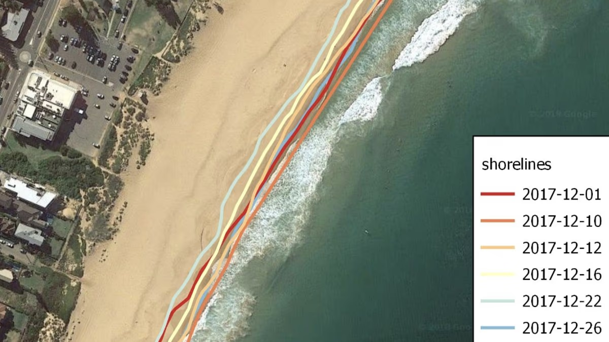
The new method is instead based on satellite images of the coastline itself: