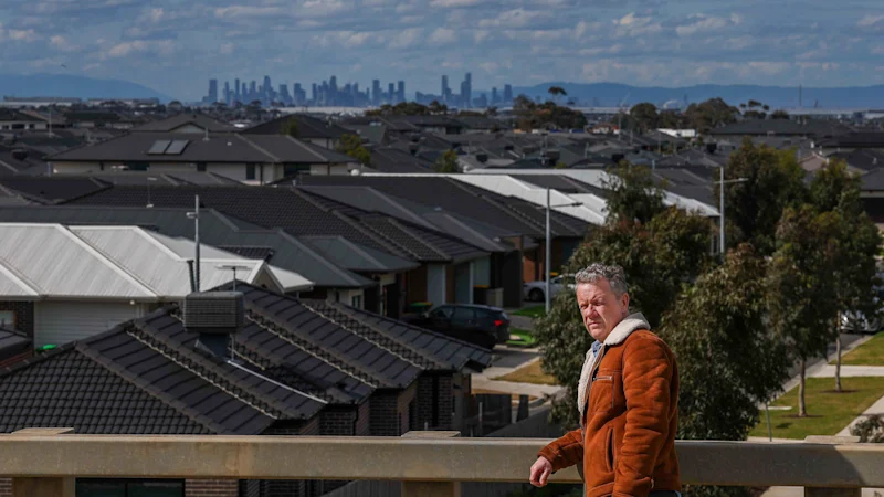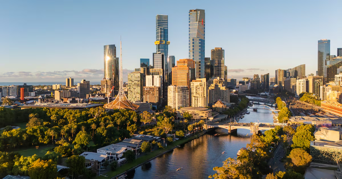
Have you ever wondered what your Melbourne suburb looked like before all the streets and houses?
For Melbourne's expanding outer suburbs, we have photos, satellite images and living memories. But what about the city's older inner suburbs, which were built well over a century ago?
The answers can be found by piecing together some of the city's earliest European maps stored in Victoria's Public Records Office (PROV).
These maps were created between the late 1830s and mid-1850s by colonial surveyors like Robert Hoddle, William Wedge Darke and Henry Boorn Foote, who traversed different parts of what would become metropolitan Melbourne with convict survey parties to partition land for sale to British settlers.
In doing so, they marked the course of creeks and rivers, locations of swamps, the routes of early roads and the nature of the soil.