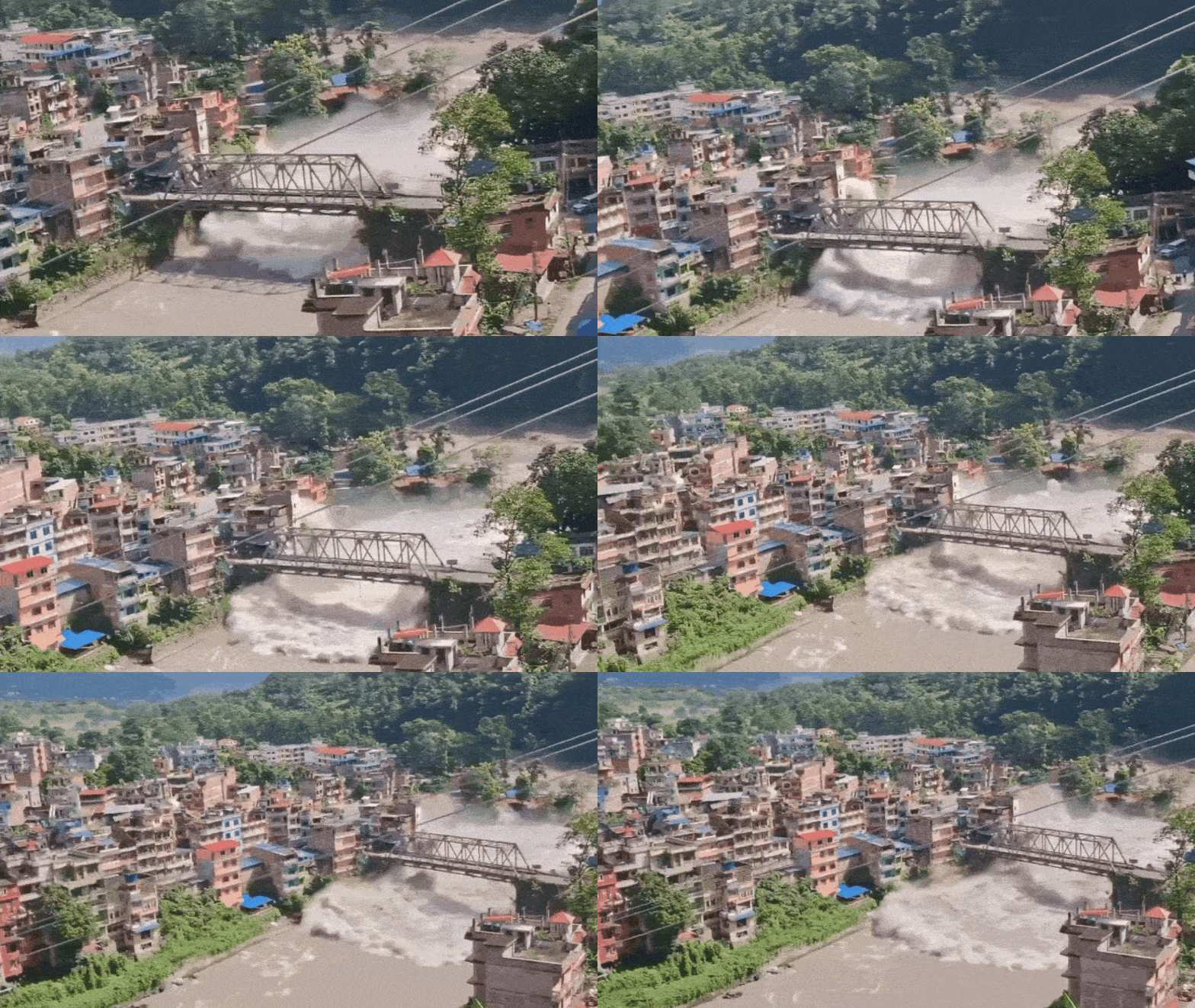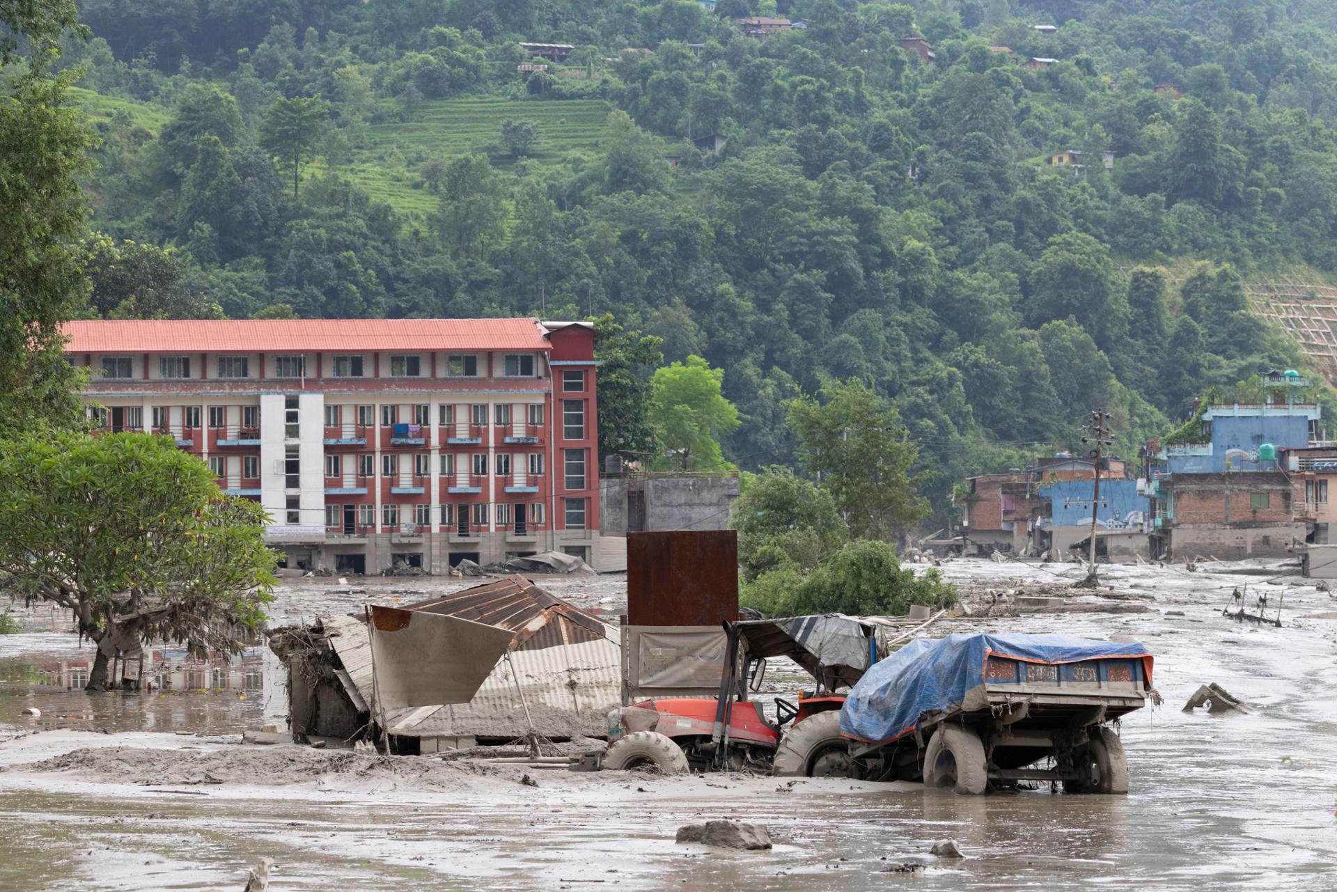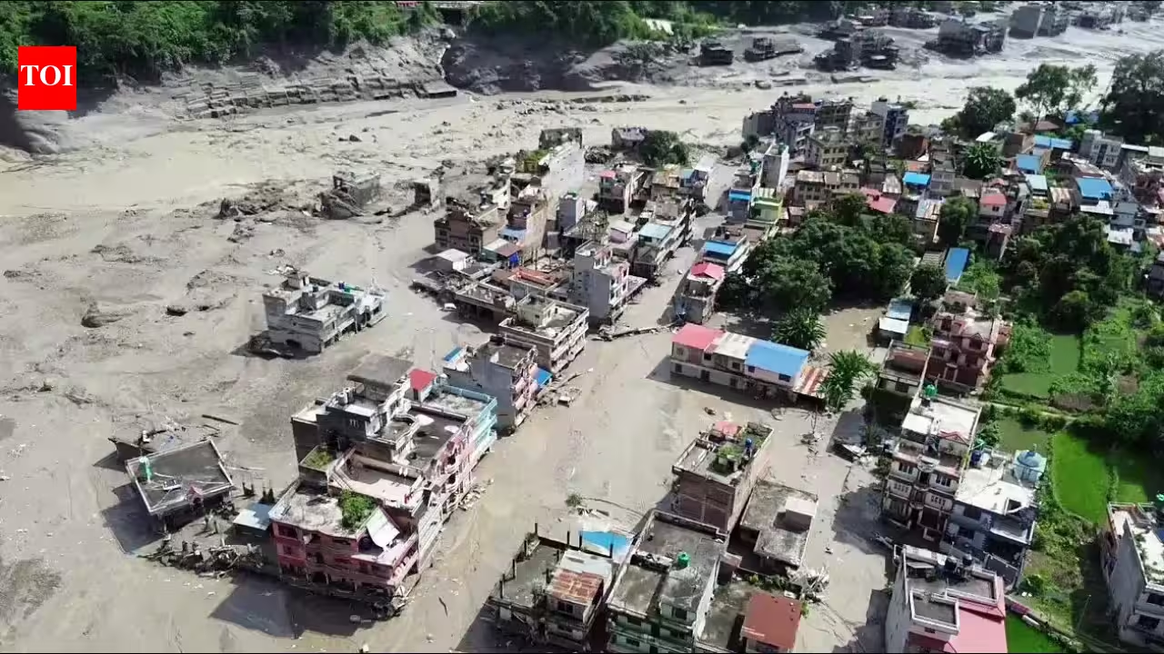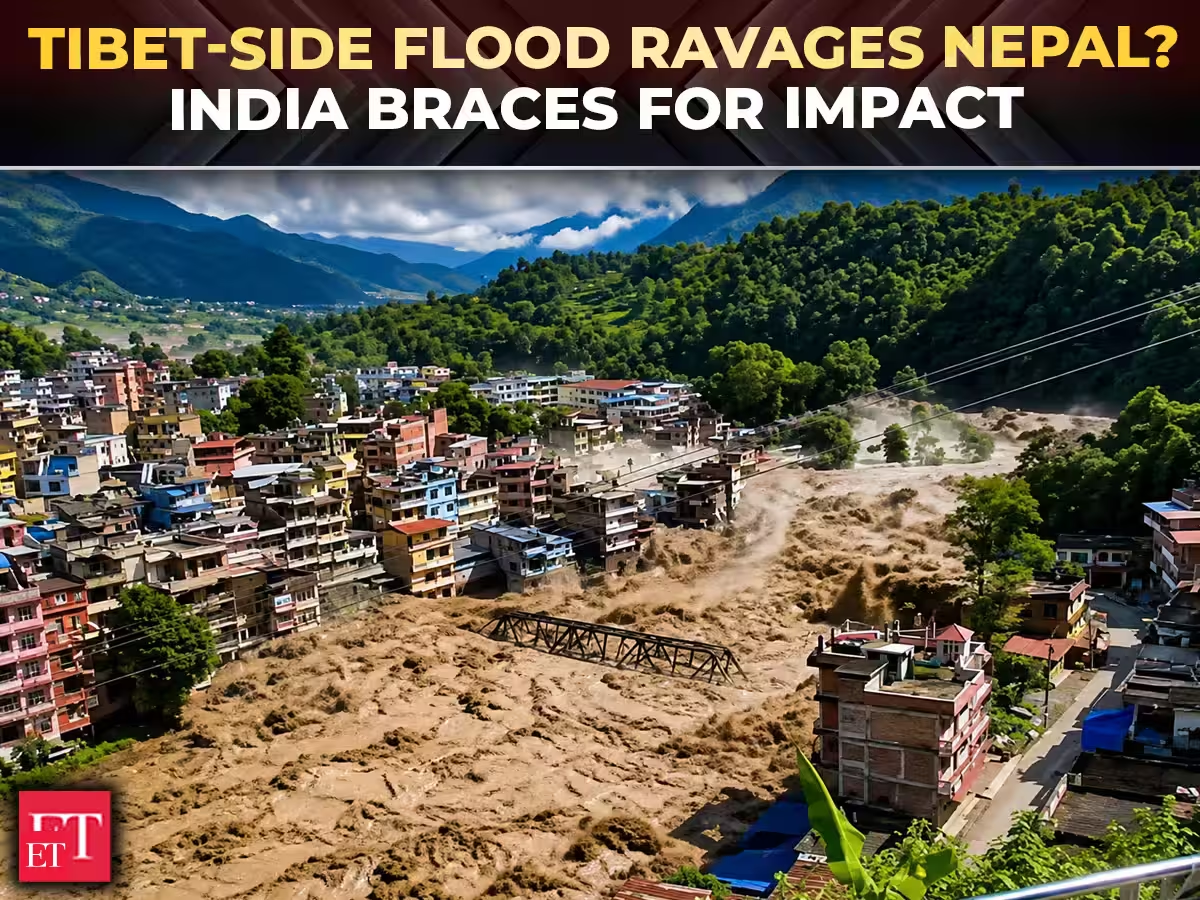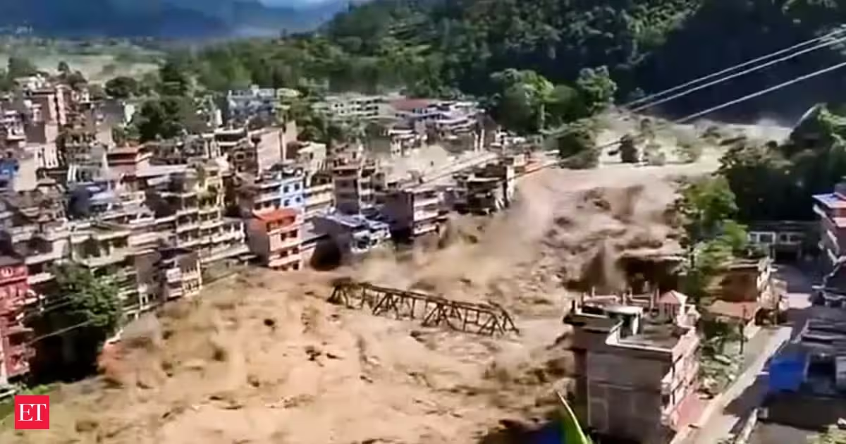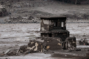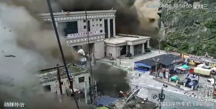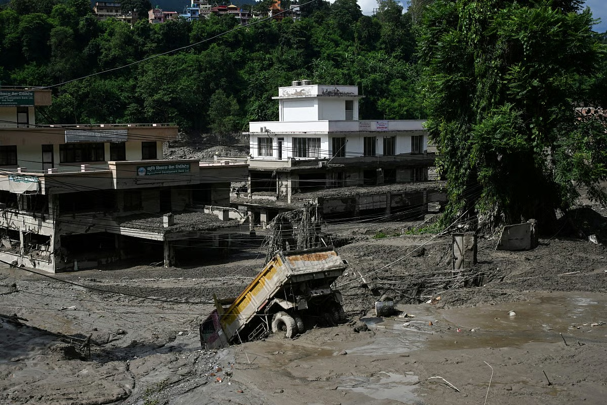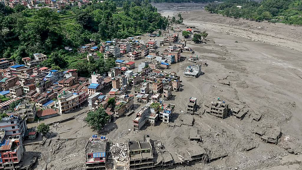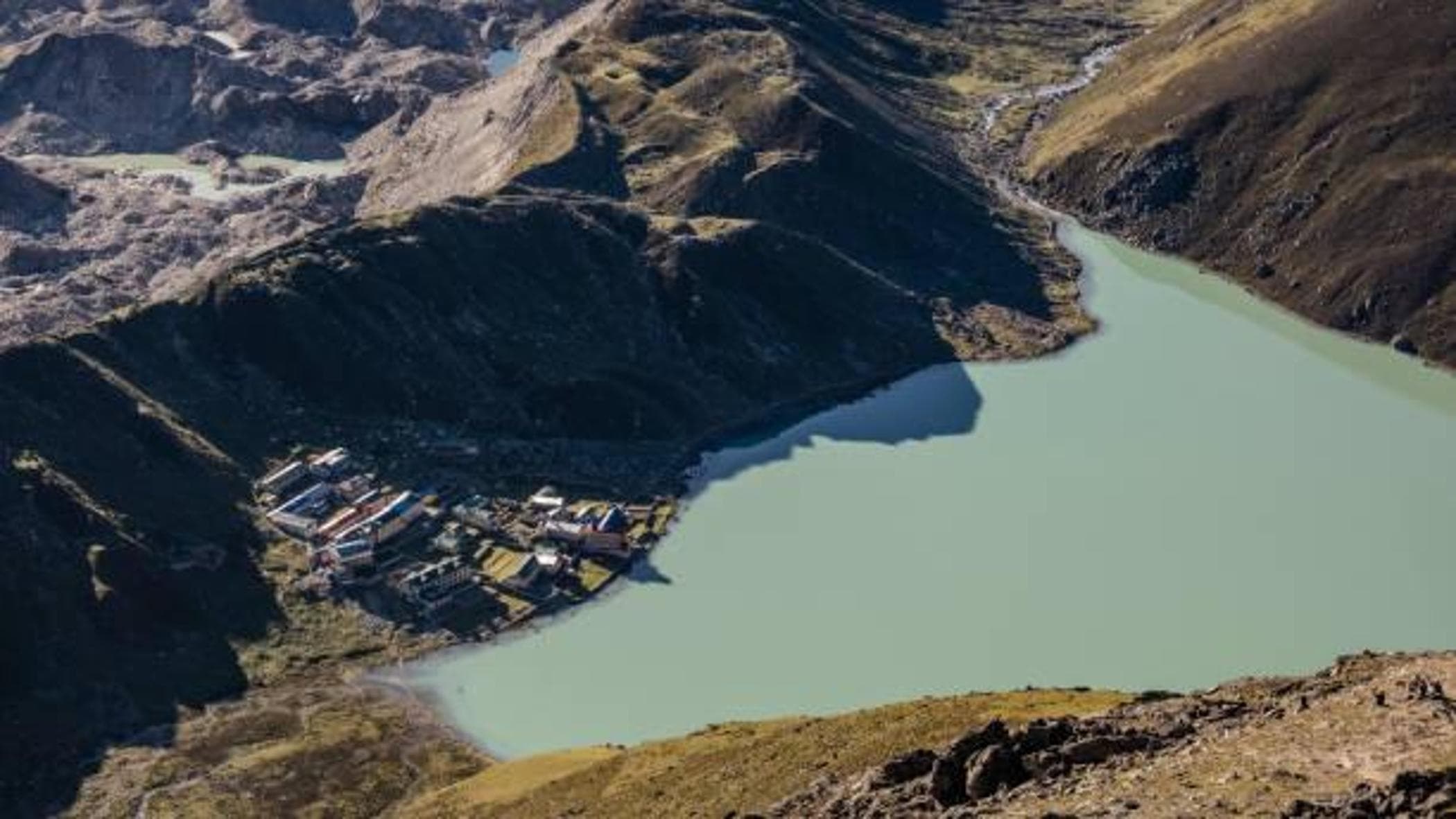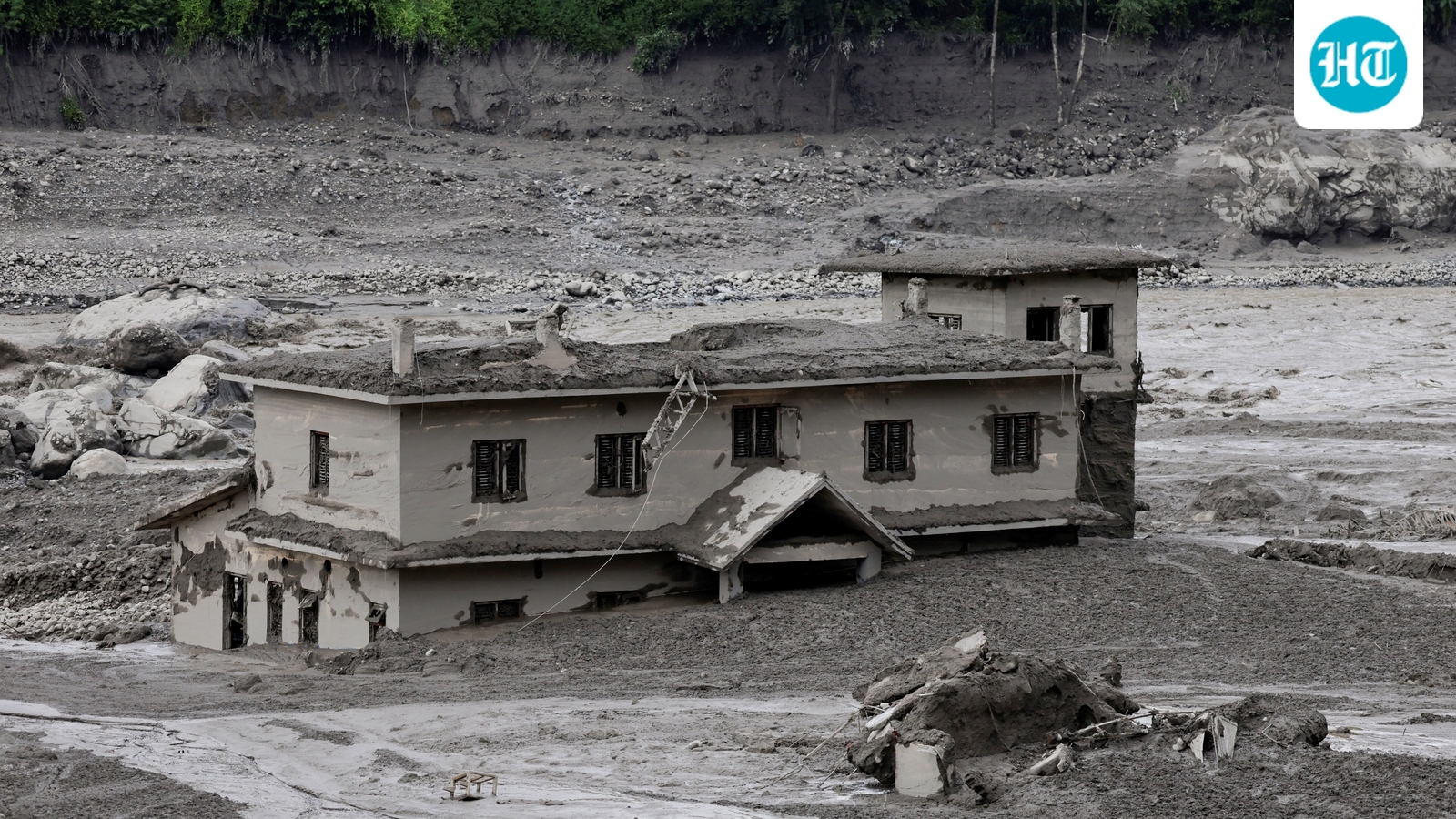
A torrent of ice, rock, mud and water rushed down a river along the Nepal-Tibet border on Wednesday, sending a mudslide sweeping through towns and villages that killed dozens and left hundreds missing.A mud-covered building following a flash flood at Trishuli in Nuwakot district, Nepal, August 26, 2026. (REUTERS)Hamlets, hydropower plants, bridges, roads and outposts were all washed away in the deluge in Nepal.While it’s still unclear where the avalanche originated from or what set it off early on Wednesday morning, scientists and researchers suspect the destruction may have been triggered by a glacial lake outburst flood (GLOF).A number of GLOFs have sparked widespread destruction across the Himalayan belt and destroyed cities and towns nestled in the ranges over the past few years, including the devastating October 2023 floods in Sikkim.What is a GLOF, what triggers it, and why is south Asia particularly susceptible to them?What is a GLOF?A glacier, over the years, accumulates rock and debris. When a glacier begins melting and retreating, it carries with it much of this rubble. This eventually collects at the glacier's lowest point, known as its snout, and forms what becomes a wall of rock, rubble and debris. This wall, called a moraine, holds back a lot of the glacier’s melted water, forming a glacial lake.When the moraine gives way, the lake empties in minutes – making it a GLOF.A GLOF carries with it not just a torrent of water, but pushes boulders, silt and ice down steep slopes at high speeds. The debris and mud, not the water, causes the most damage downstream.What triggers a GLOF?Several triggers can set off a GLOF, but conventionally they are caused by a deadly cocktail of factors.For one, seepage weakens a moraine until it gives way. Or, boulders or ice could fall into the lake and push a wave over the rim.Rain alone rarely causes a GLOF, but it loosens debris and raises water levels in a glacial lake, which could set it overflowing.At South Lhonak in Sikkim, a portion of the moraine had been shifting for years before it collapsed into the lake on October 4, 2023.Experts often cannot agree on the cause for weeks. After the flash floods at Dharali in Uttarkashi in August 2025, National Disaster Management Authority (NDMA) officials said a glacial snout at 6,700 metres had detached days earlier and days of rain then pushed the debris down the Kheer Ganga.Why are Himalayas vulnerable?The usual suspect is climate change. Glaciers in the Himalayas have been thinning and retreating since the 1970s, according to a report by Kathmandu-based International Centre for Integrated Mountain Development (ICIMOD) in 2025.They are now losing ice twice as fast as they did in 2000, the Kathmandu group said earlier this year. Each retreating glacier can leave a new lake, even as the older lakes continue to swell.In August 2025, the Indian Space Research Organisation (Isro) said it found 2,431 glacial lakes larger than 10 hectares in the Himalayas in 2016-17. Of these, 676 have grown significantly since 1984 and 130 are in India: 65 in the Indus basin, 58 in the Brahmaputra and seven in the Ganga.ICIMOD in its report added that a third of the region’s glaciers will thaw if average global temperatures rise by 1.5°C.Why is the damage so heavy?A lot of the devastation comes because of infrastructure projects and townships built squarely along the channels that these floods travel along. To be sure, this is largely due to compulsion and necessity – these areas are also where resources are most abundant and economies most vibrant.The Hindu Kush Himalaya has an estimated 500GW of hydropower potential, and most projects sit in the valleys that GLOFs can burst through.The February 2021 Rishi Ganga flood destroyed the 35MW Rishiganga and 520MW Tapovan Vishnugad projects and killed more than 200 people, mostly workers. The 2023 Sikkim flood washed away the dam of the 1,200MW Teesta III project at Chungthang and flooded its underground powerhouse.Glaciologists have, as a result, pressed for broader climate assessments to accompany environmental checks before these projects are greenlit.Settlements are also at risk, with the glut of settlements along flood paths. A study in Nature found that 35% of India's new settlements between 1985 and 2015 came up in flood-risk zones. Sikkim’s 31% is below the national average, but 13% of its new habitations are in very high flood-risk zones, against 2.5% for India and 6.2% globally.The World Meteorological Organization in its State of the Climate in Asia 2023 report put the Sikkim toll at more than 100 dead and over 70 missing. About 4,500 people were evacuated, nearly 90,000 affected and around 2,000 houses damaged. Counts from other sources are even higher.Are there any possible safeguards?Engineers can siphon a few lakes or deepen their outlets, but most sit 4,500 metres above sea level and can only be reached on foot, so the scope for manual intervention is usually low and paved with risk.The key, though, is monitoring and warning. Experts have urged for lakes already flagged as unstable to be carefully tracked, for weather stations and river-level sensors in the high catchments where rainfall data is thin and for constructions to steer clear of flood paths.
Nepal devastation puts focus back on glacial lake outburst floods in the Himalayas. What is a GLOF?
A devastating GLOF swept through Nepal-Tibet border, causing mudslides that killed dozens and left hundreds missing.
862 words~4 min read