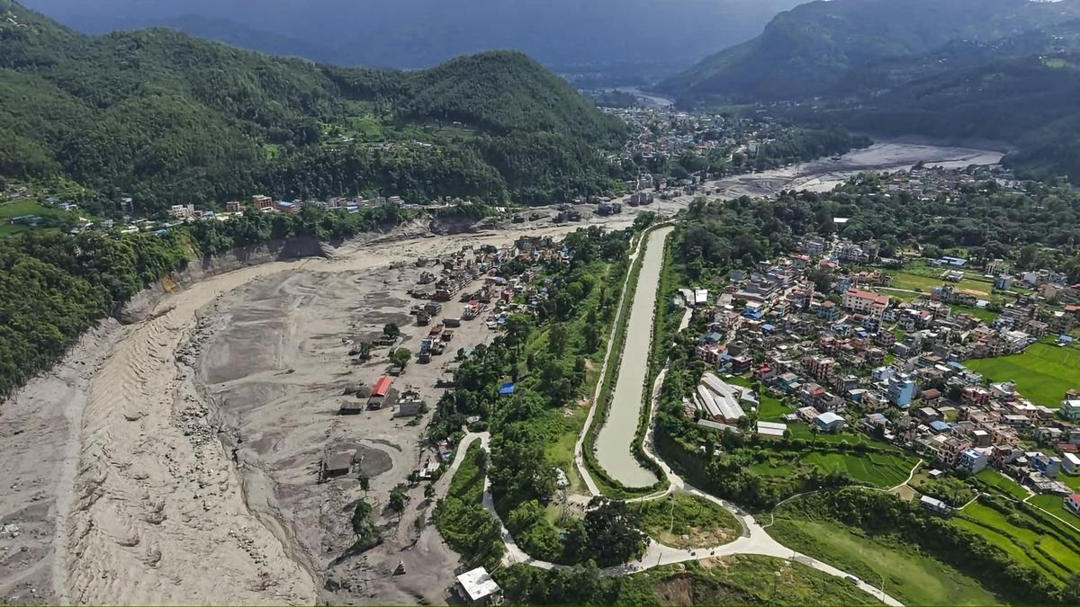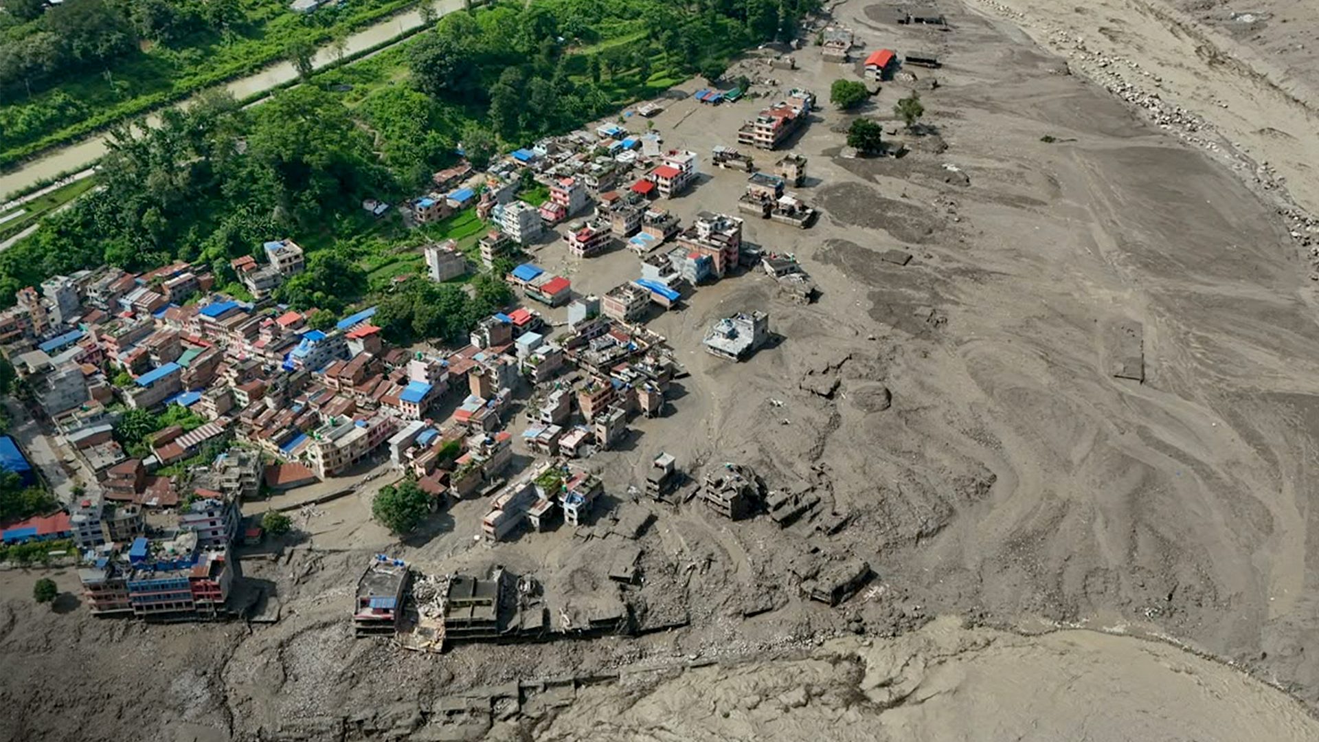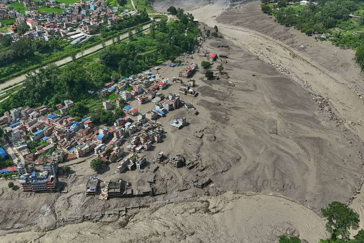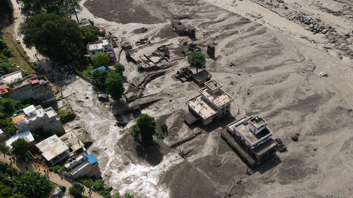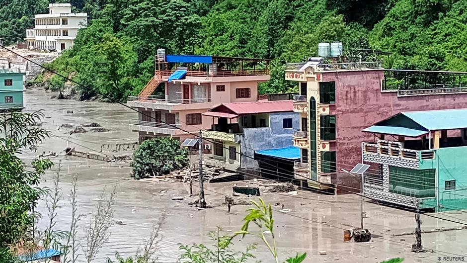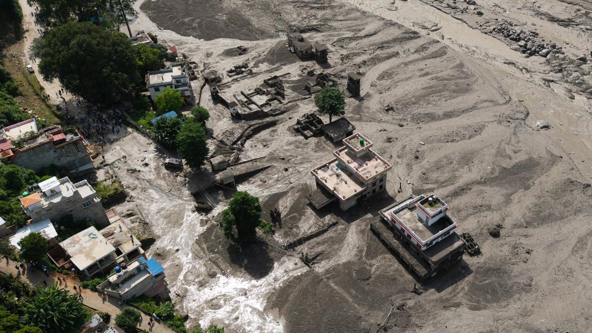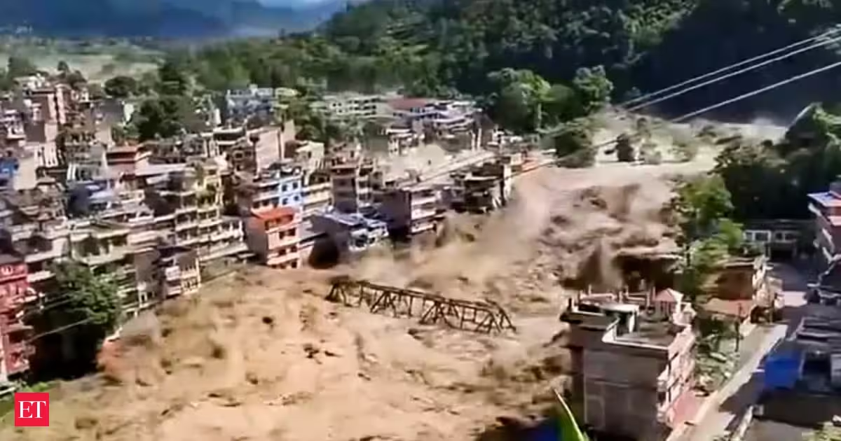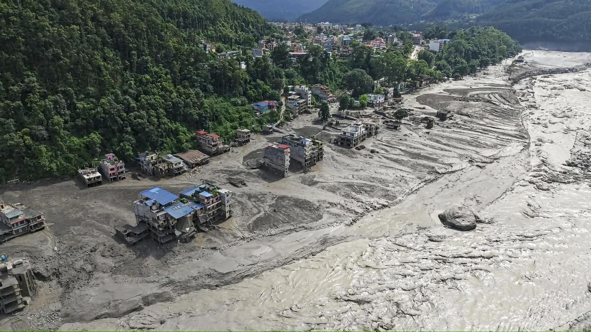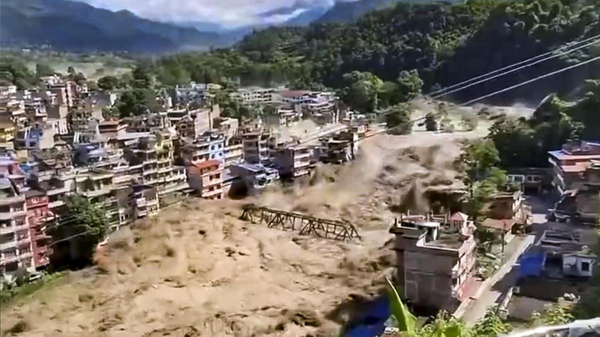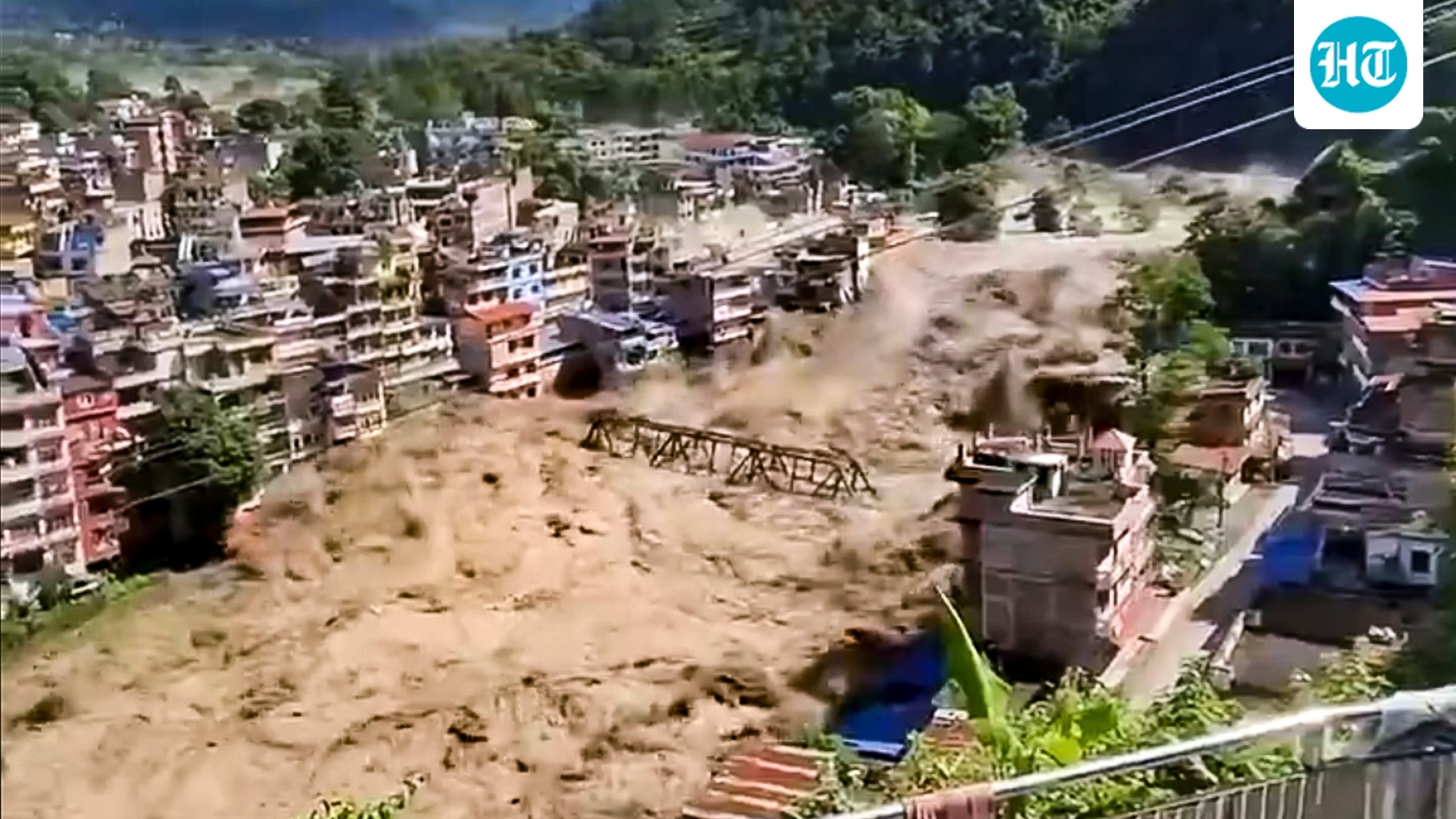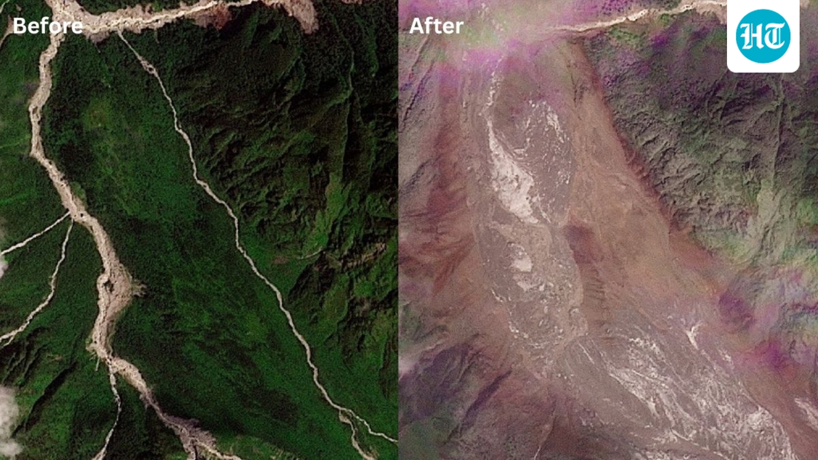
The before-and-after satellite images below offer a stark comparison of several areas in Nepal before and after the flash floodsPrefer HTon Google Nepal was hit by a severe flash flood on Wednesday, resulting in loss of life, reports of missing persons and extensive damage to homes, roads, bridges, hydropower facilities and other infrastructure. The floods swept through villages and areas along the Bhote Koshi River near the Tibet border, with Rasuwa and neighbouring districts among the worst affected.A combination of satellite images shows the valleys near the Nepal-China border on August 25, 2026, before the devastating floods and on August 26, 2026, after the disaster. (Planet Labs via Reuters)Track Nepal floods live updatesThe death toll had risen to 95 at the time of reporting, while hundreds of people remained missing. Rescue operations have been hampered by bad weather and disrupted communications as authorities continue efforts to reach the affected areas.Satellite images show the scale of destructionThe before-and-after satellite images below, captured by Planet Labs, offer a stark comparison of several areas in Nepal before and after the flash floods, highlighting the extent of the devastation. Also Read | What caused Nepal's deadly floods? Initial reports point to a sudden triggerThe satellite imagery below shows the valleys near the Manakamana village on August 23, 2026, before the floods (top), and on August 26, 2026, after the disaster (bottom).
Satellite images show before and after of devastating Nepal flash floods
The before-and-after satellite images below offer a stark comparison of several areas in Nepal before and after the flash floods | World News
508 words~2 min read