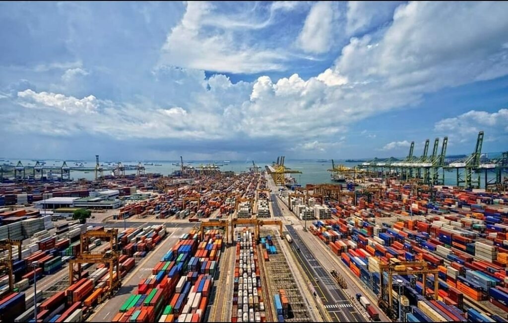
Ports are expensive places to make mistakes. A new berth, terminal expansion, road connection or piece of equipment can involve millions of dollars and years of planning. Yet many operational decisions are still made using forecasts, historical data and untested assumptions about how the port will behave once an investment is completed.
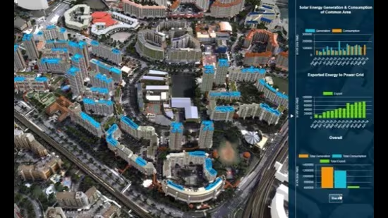
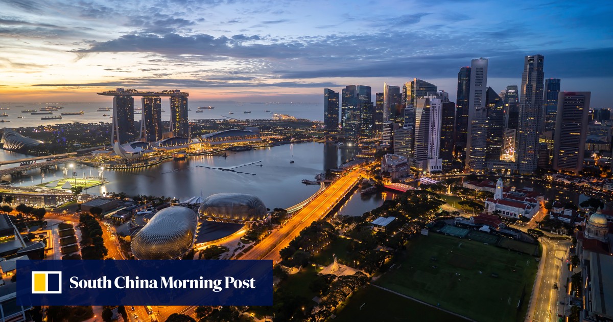
Singapore is taking a different approach. Its Maritime Digital Twin allows the Maritime and Port Authority of Singapore to create a dynamic digital representation of the port, combining live and historical information on vessels, port operations, weather, hydrographic conditions and the environment. More importantly, it allows the port to simulate scenarios and test decisions before committing physical or financial resources.
A digital twin is not simply a sophisticated 3D map. Its value lies in what happens behind the screen. Singapore’s platform can visualise current conditions, replay historical events, simulate changes to variables such as vessel position and weather, and generate predictive recommendations around routes and resource requirements.
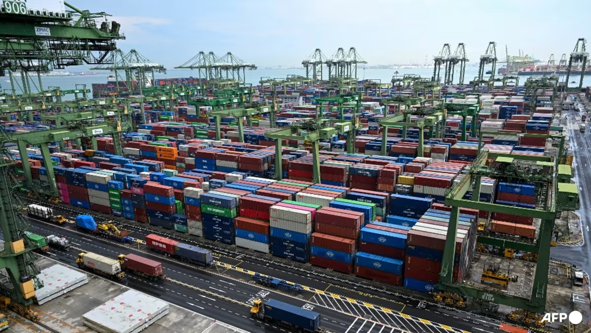
Consider the implications. Before changing a berth allocation, a port could model the effect on vessel movements and terminal productivity. Before introducing a new traffic arrangement, it could test the likely impact on truck queues and gate congestion. Before committing to new infrastructure, management could examine different scenarios using actual operational data.