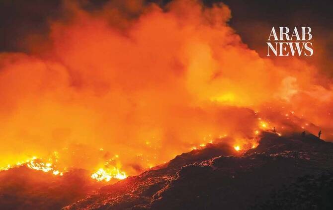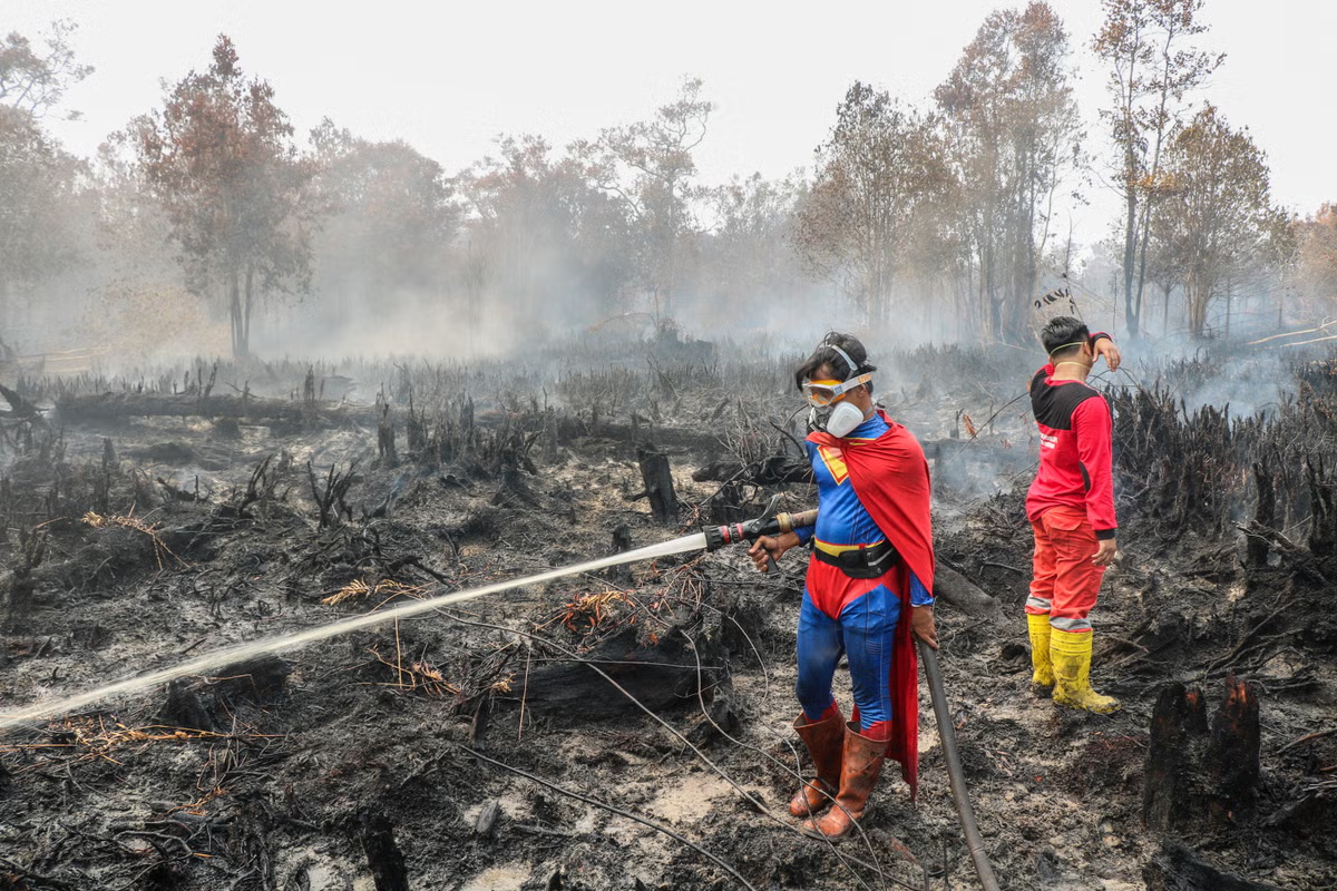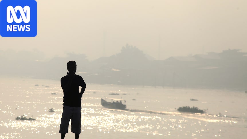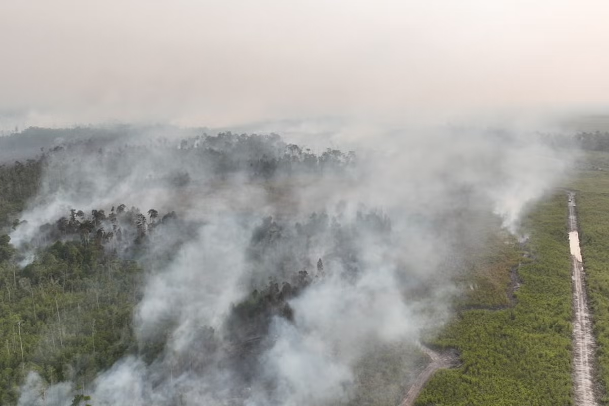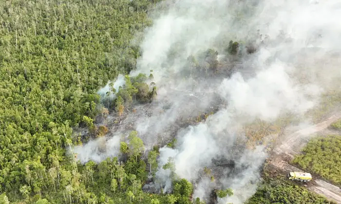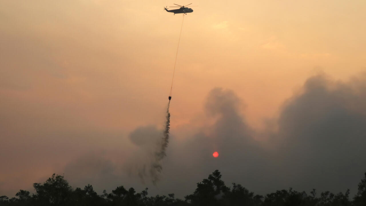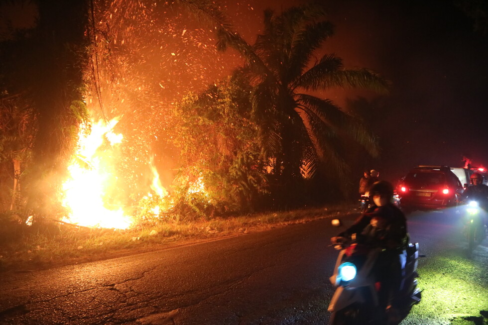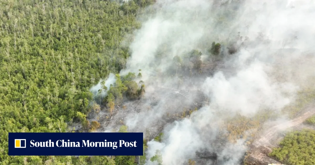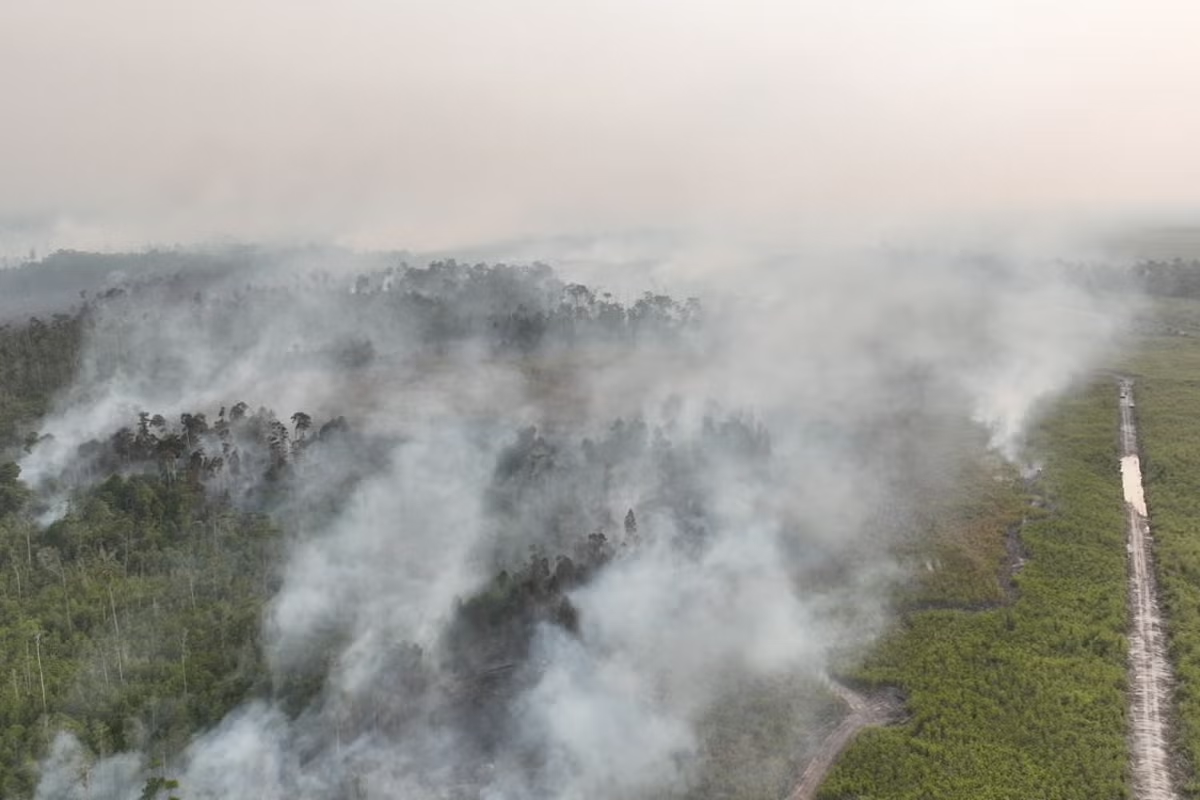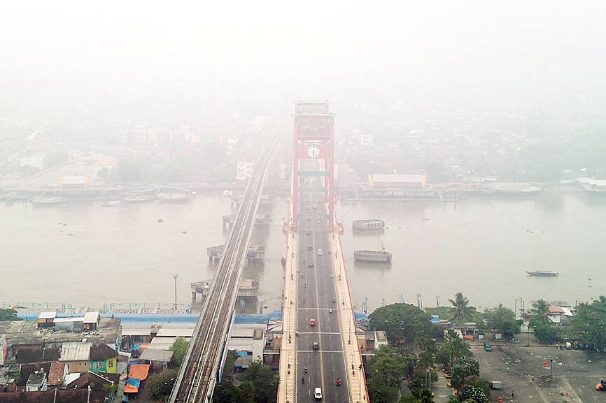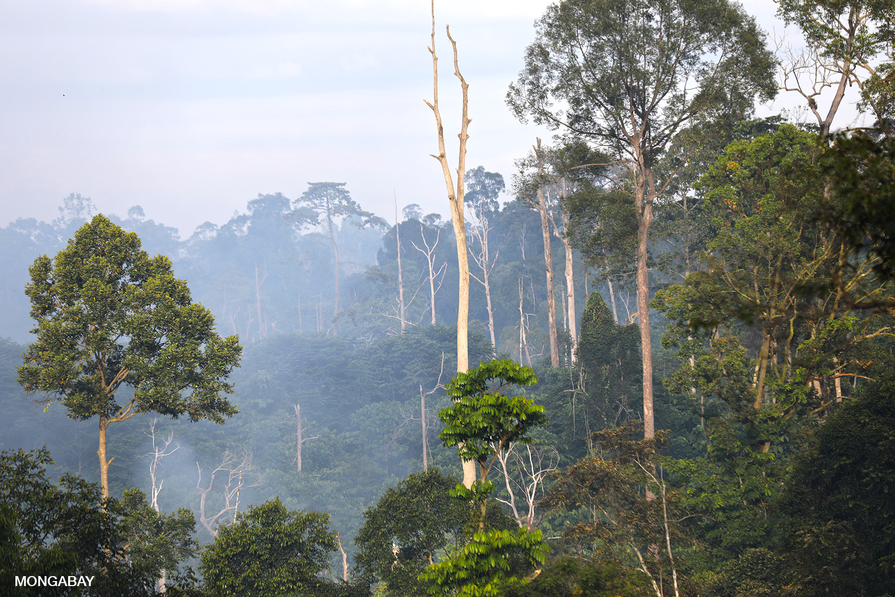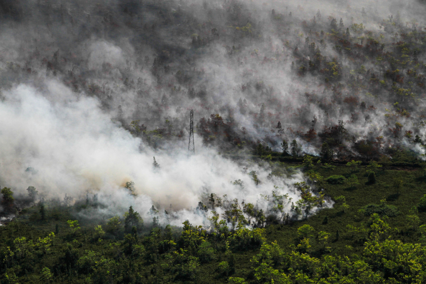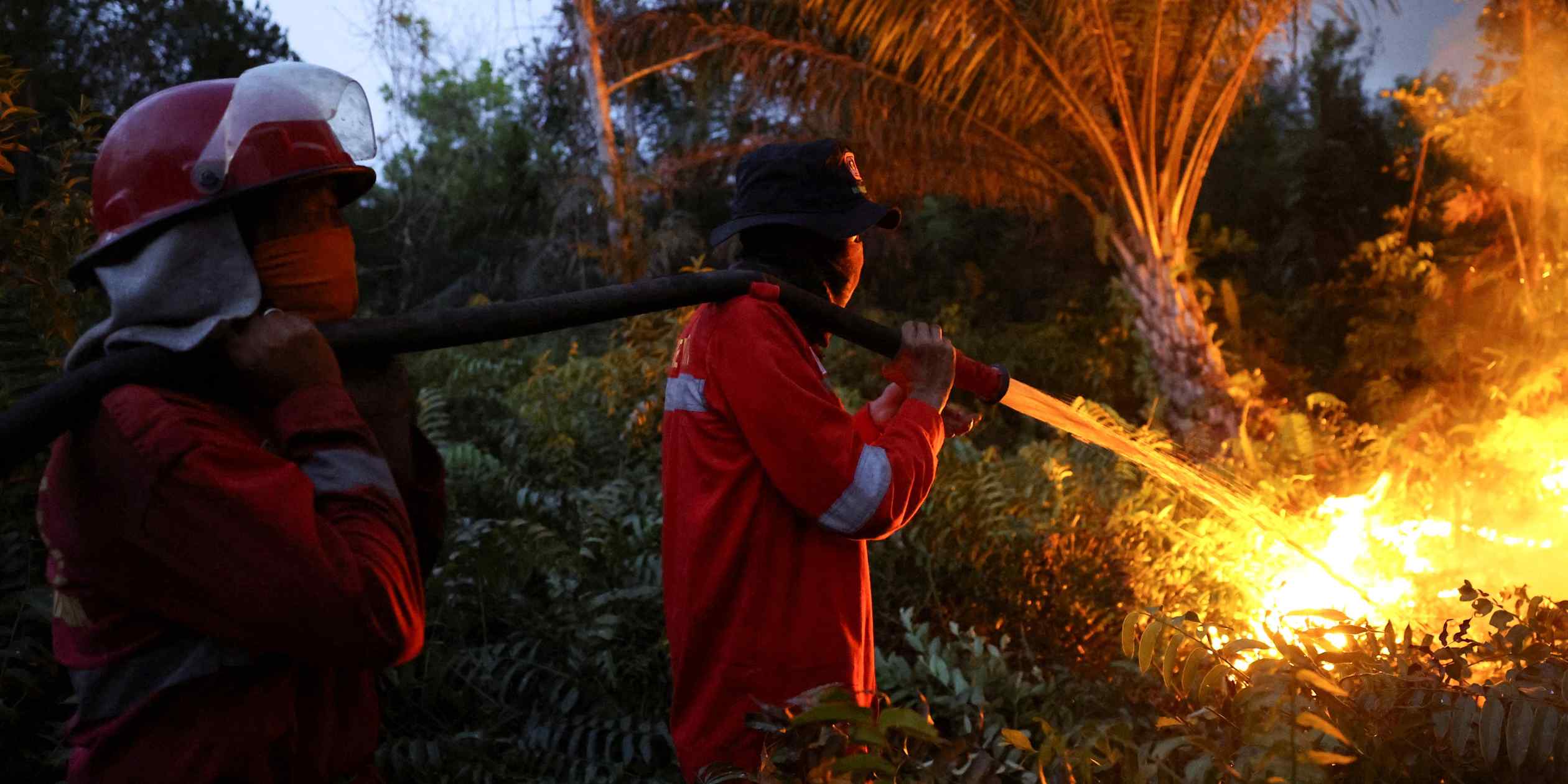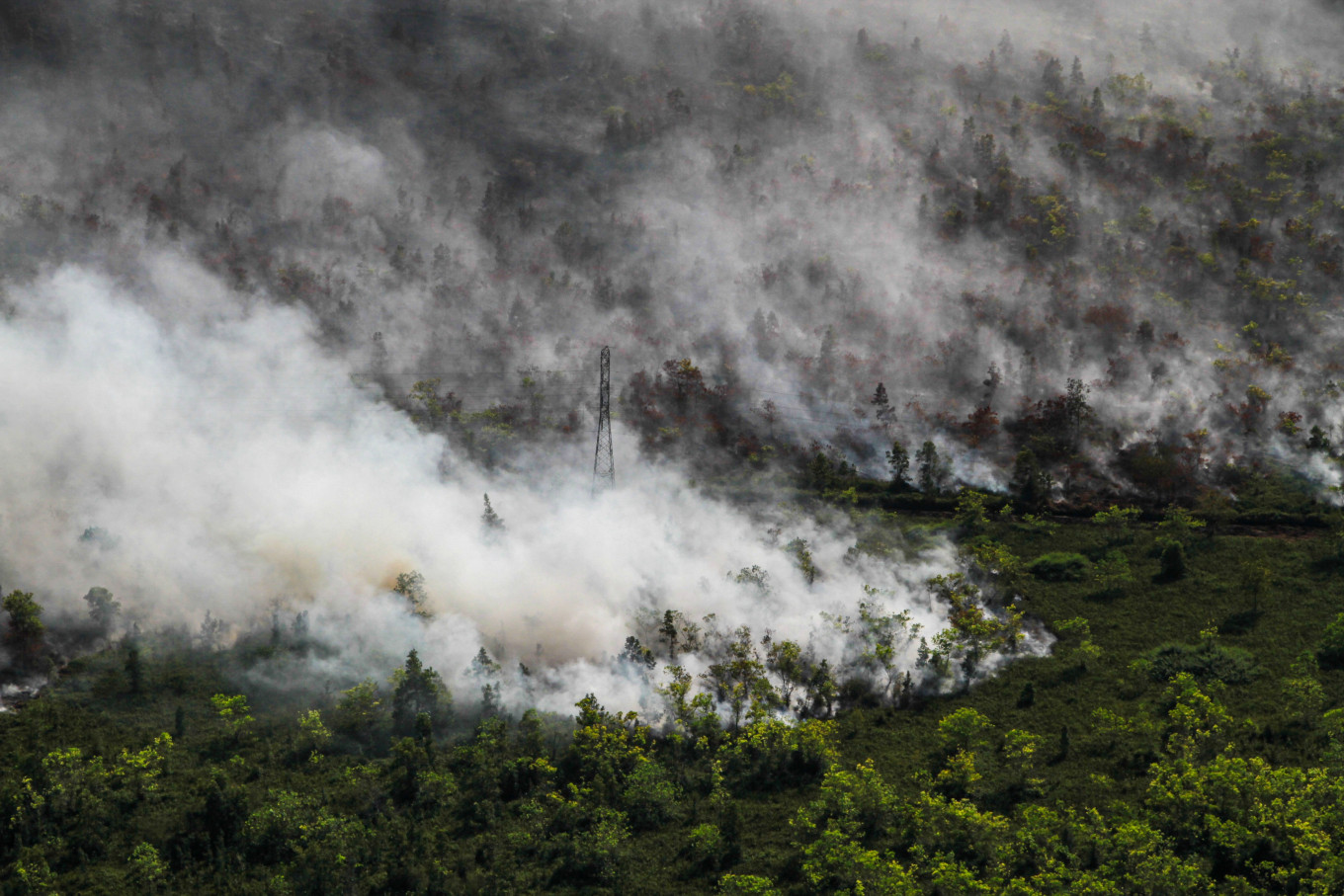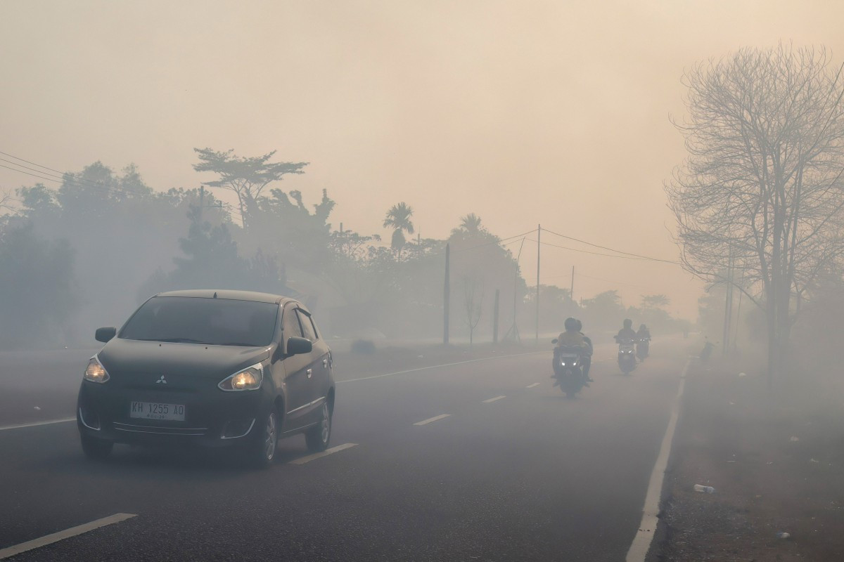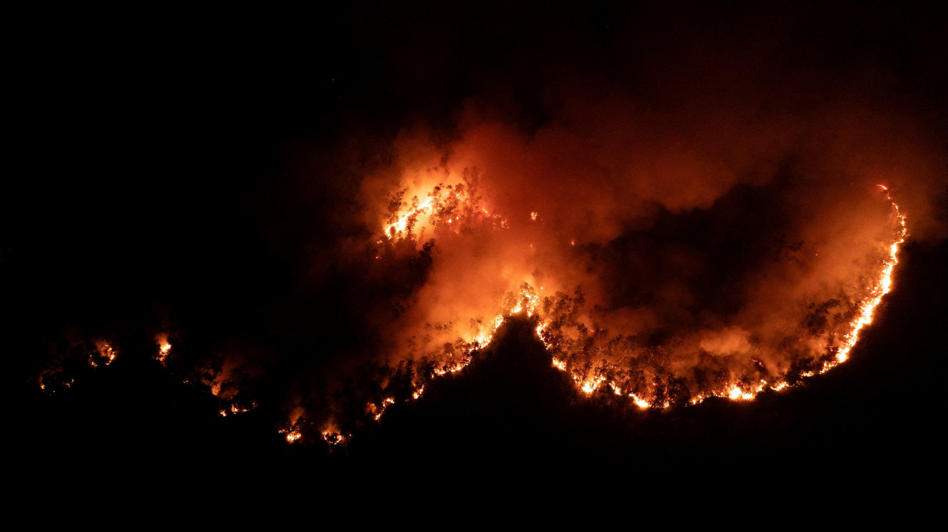
Forest and land fires across Indonesia have spiked once again. News and social media in the country are flooded with images of thick plumes of smoke from Kalimantan in Borneo — the world’s third largest island — choking residential areas and drifting into neighboring countries.It is tempting to write this off as a purely weather-driven crisis: the dry season is well underway, and a strengthening El Niño is driving temperatures toward predicted historic highs around the globe.
While these conditions undoubtedly amplify the risk, the crucial question is not just why El Niño’s impact is so severe — it is why parts of the landscape have become so flammable in the first place. Unsurprisingly, human activity plays a major role.
Fires don’t start in a vacuum. Major infernos happen when dry weather meets a Bornean landscape that has lost its natural capacity to retain water due to expansion of industrial plantations such as pulpwood and oil palm — an irreversible loss that has been increasing for decades.
Our analysis draws on data from NASA’s Fire Information for Resource Management System (FIRMS) — a satellite-based monitoring system providing near-real-time fire activity data.
To track how fire activity has evolved, we analyzed detection data from two satellite instruments with different spatial resolutions: MODIS (approximately 1-kilometer resolution) and VIIRS (375-meter resolution). Analysis across Kalimantan’s five provinces reveals a sharp uptick in fire activity leading into mid-August.