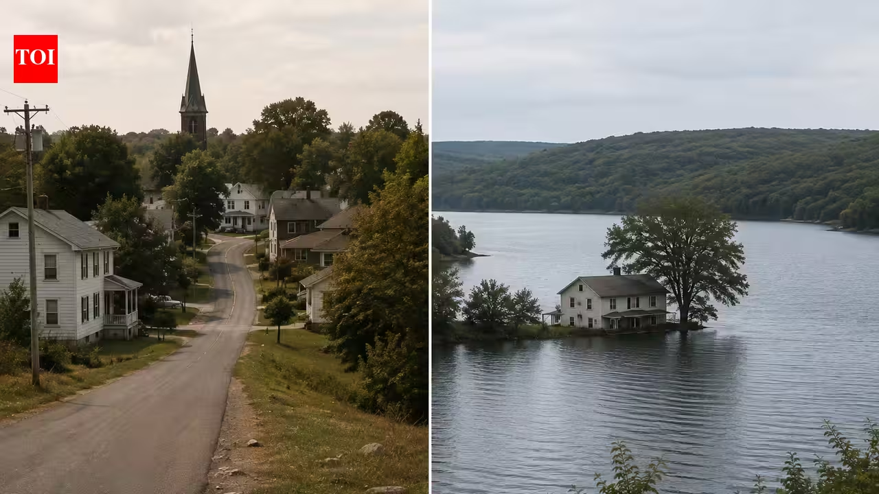
In 1939, Massachusetts flooded four Swift River towns for the Quabbin Reservoir. Image Credits: Wikimedia Commons.In 1939, rising waters began to cover a valley that had been home to generations of Massachusetts families. Four towns, Dana, Enfield, Greenwich and Prescott, had been cleared to make way for the Quabbin Reservoir, a vast new water source for Boston. Yet one small part of Dana escaped the water. Eighty-seven years later, Dana Common remains above the reservoir’s flow line, where cellar holes, stone walls and granite steps mark the outline of a community that disappeared from the map.The landscape is now largely quiet. Grass and woodland have replaced houses, shops and public buildings, while the reservoir occupies much of the valley below. But at Dana Common, the physical traces of the old settlement remain unusually clear. The National Park Service describes it as a preserved archaeological landscape, with foundations, cellar holes, paving fragments, stone fenceposts, walls and even a heavy metal safe that was never removed. The site was listed on the National Register of Historic Places in 2013.Before the water cameDana was settled in the mid-18th century and became an independent town in 1801. Dana Centre, later known as Dana Common, developed around a small triangular common after the town absorbed another settlement in 1842. Five roads converged there, helping make it the town's institutional centre. By the middle of the 19th century, the Common had a town store and post office, town hall, school, hotel and tavern, churches, workshops, cemeteries and homes. Dana's population peaked at 876 in 1860, while the village also attracted summer visitors and retirees from urban areas drawn to its rural setting.That life began to face an uncertain future as Massachusetts turned to the Swift River as a potential water source for metropolitan Boston. Legislators had discussed the idea as early as 1896, and after several dry years during the First World War, investigations began in 1918. By the following year, residents knew their communities could eventually be flooded. The debate continued for years until the Massachusetts legislature passed the Swift River Act in 1927, providing the legal and financial basis for the reservoir project. The state gradually acquired land across the valley, and the four towns were officially disincorporated on April 28, 1938. By then, Massachusetts had acquired more than 80,000 acres, while hundreds of homes and other structures had been removed.Historians have reconstructed these former communities using archival records, landscape evidence and interviews with former residents. Research in the Historical Journal of Massachusetts found that the four towns had distinct senses of place shaped by everyday life, local landscapes and community traditions. In Dana, for example, Pottapaug Pond formed part of residents' experience of their community, while Greenwich was known for its Old Home Days celebrations and Prescott for landmarks such as the Griswold farm. The creation of Quabbin therefore changed not only the physical landscape but also the places through which residents had experienced, understood and remembered their communities.A valley transformed into a water supplyThe National Park Service also notes that Dana held its last town meeting in March 1938, while the town school closed that June after a final graduation ceremony. By the end of the year, the last resident had moved away. Construction of Winsor Dam, a key component of the Quabbin project, began in 1935 and was completed four years later.The scale of the change was enormous. About 2,500 people were displaced from the four towns, while homes, businesses, roads, a railway and 34 cemeteries were removed from the valley. The dead were not simply left behind. Cemetery records were compiled, and remains were subsequently reinterred at the new Quabbin Park Cemetery in Ware, with the cemetery removals completed in 1944. The sacrifice became part of a much larger water system. Quabbin holds about 412 billion gallons when full and now forms a central part of the water supply serving millions of Massachusetts residents. The reservoir is protected both as infrastructure and as a carefully managed watershed, where forests and streams help maintain water quality.Today, this expansive resource provides water to millions in Greater Boston and western Massachusetts, while the surrounding protected forests have transformed into essential wildlife habitats. Image Credits: Wikimedia CommonsWhat Dana Common still holdsToday, approximately 30 former building sites can still be identified around the Common. Cellar holes mark where houses once stood; granite steps lead nowhere; stone walls trace former property boundaries; and the open spaces preserve the arrangement of a village that disappeared more than eight decades ago. Unlike the submerged portions of the four towns, this part of Dana can still be walked and read as a landscape.That makes Dana Common an unusual historical record. Quabbin Reservoir was a major engineering response to Boston's growing water demands, but its creation also transformed a lived-in rural valley. Much of that history now lies beneath the reservoir, while at Dana Common, the foundations and other remnants remain visible. It is neither a restored town nor a conventional museum, but a landscape shaped by what is no longer there. In 2026, the reservoir continues to serve the purpose for which the valley was transformed. Above its waters, Dana Common remains a tangible record of the town that disappeared.
1938, Massachusetts disincorporated four Swift River towns for Quabbin Reservoir; 88 years later, Dana Common still preserves cellar holes above Boston’s water source
In 1939, rising waters began to cover a valley that had been home to generations of Massachusetts families. Four towns, Dana, Enfield, Greenwich and Prescott, had been cleared to make way for the Quabbin Reservoir, a vast new water source for Boston.
871 words~4 min read