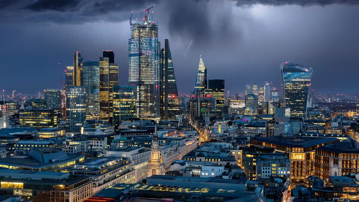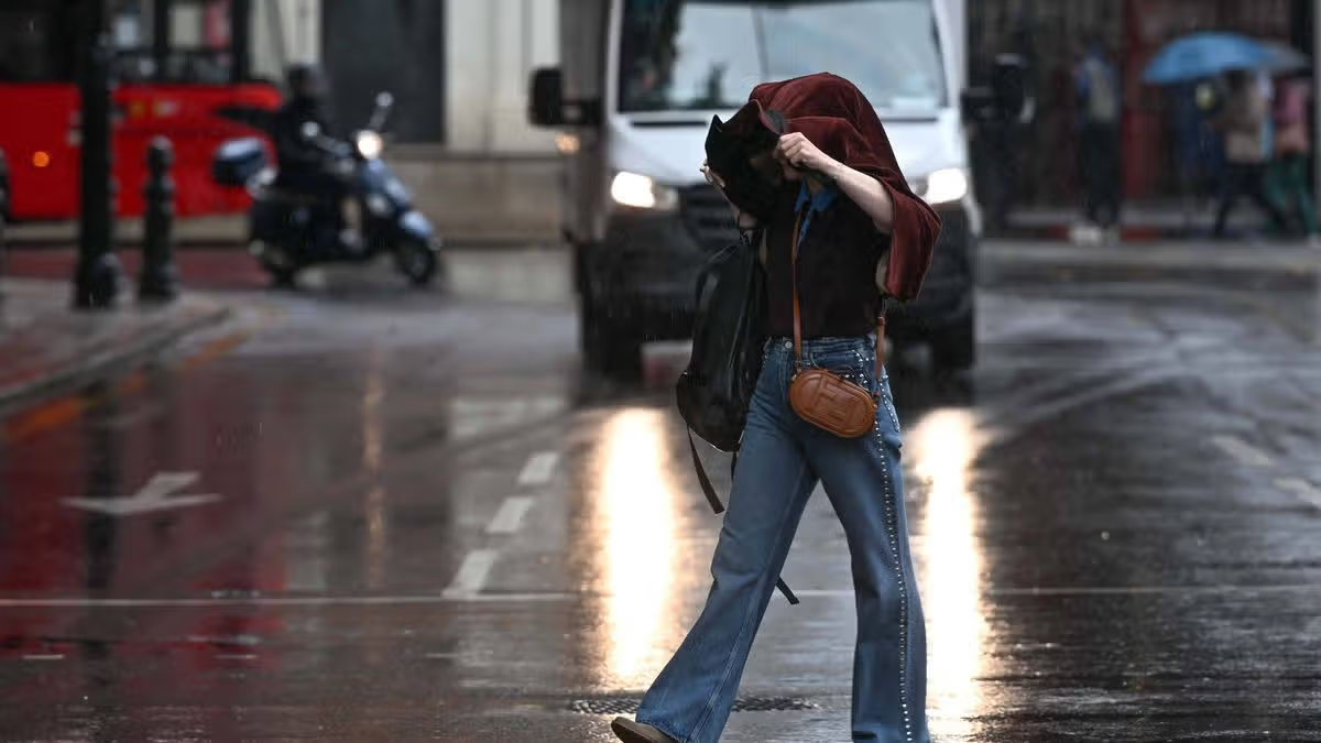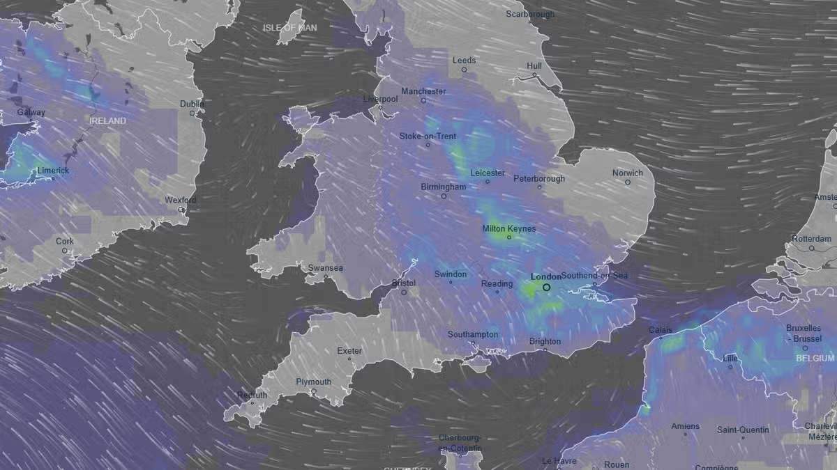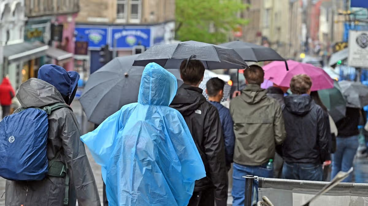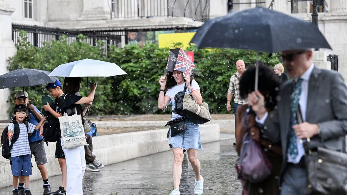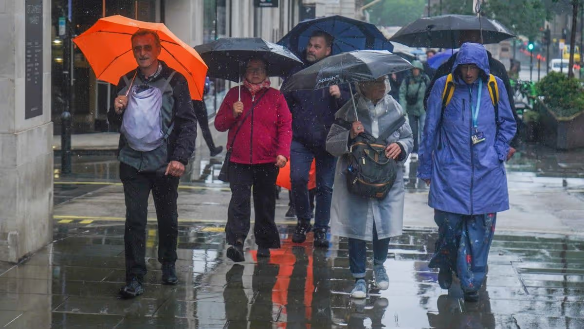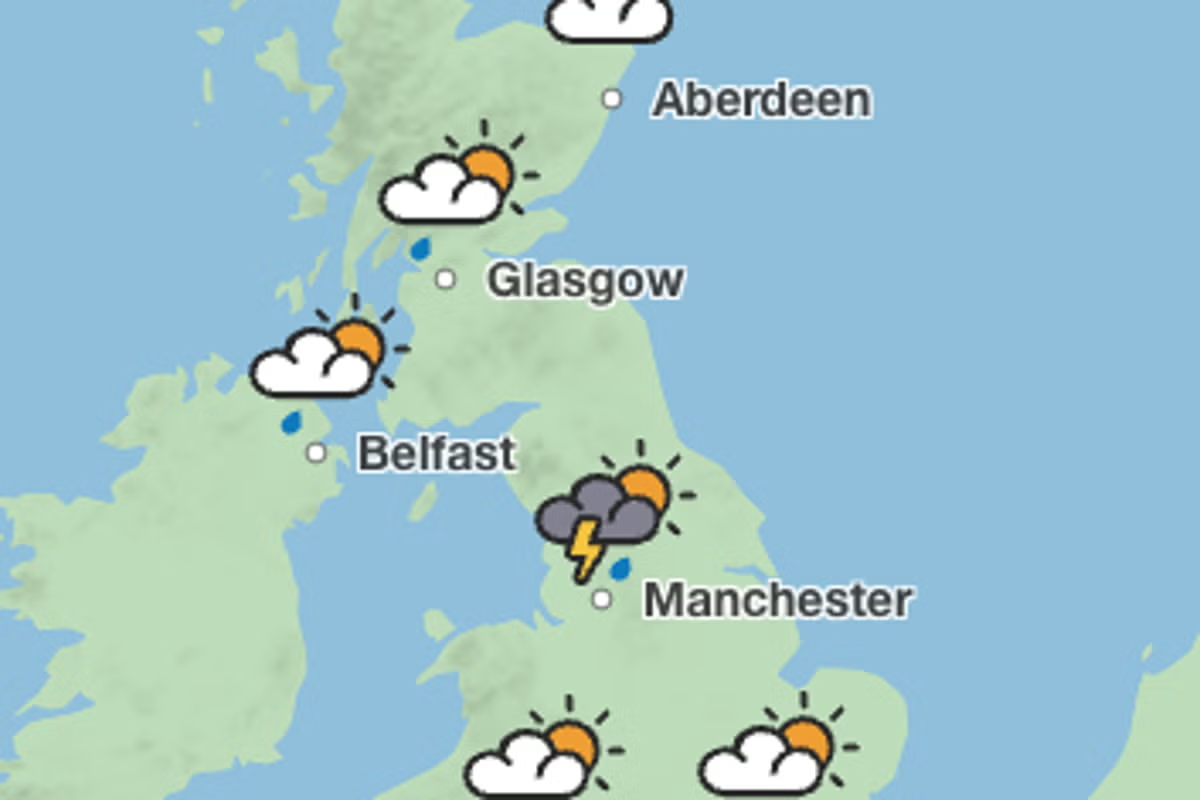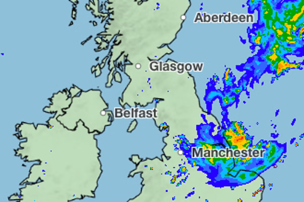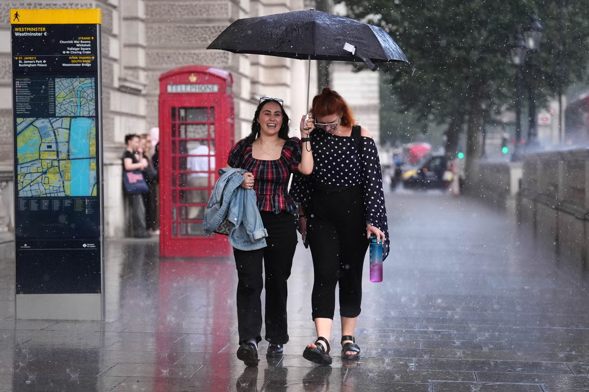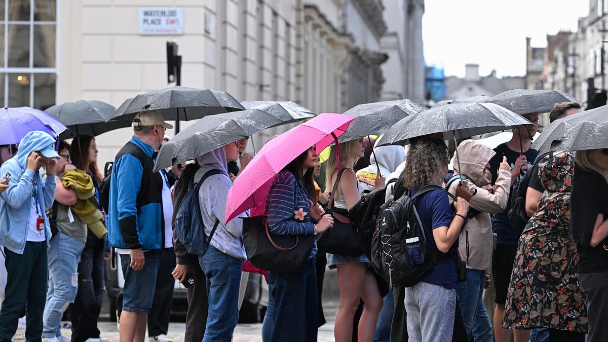
WeatherMet OfficeThe forecaster warns of 'heavy downpours and thunderstorms' across most of the nation as welcome rain will soak many areas06:35, 24 Aug 2026Updated 06:40, 24 Aug 2026The UK is set to face it's "most explosive weather phenomenon" this week with widespread thunderstorms on the cards as much of the nation will be soaked by rain.A "Spanish plume type of system” is developing which has been described by the Met Office as “the UK’s most explosive weather phenomenon”.It occurs when warm air moving northward from Spain rises and cools, leading to the formation of thunder clouds.The Met Office explains: “As cooler air spreads from the west, instability increases and the very warm air rises through the cooler air, enhancing the formation of thunderstorms."Hence as this phenomenon hits the UK 134 areas are forecast to be drenched by rain on Wednesday.In the morning, rain is concentrated mainly across the south and southwest of the UK, with a broad band extending eastward.At 10am the heavier rain is especially concentrated around south Wales, southwest England and parts of the central/southern band.This rain is expected to spread north throughout the day, with Manchester and Liverpool seeing rainfall by the afternoon.By the afternoon the rain band appears to move generally northeast/east-northeast.Despite this areas in Wales, northwest England and parts of the Midlands see the most persistent rain throughout the day.By 4pm much of the Midlands will be covered by downpours, with deep blue filling much of the map in the region including Nottingham, Birmingham and Leicester.Southern England, particularly London and the southeast, appears to get increasingly dry after the early afternoon.The band of rain continues to travel up, striking areas including Huddersfield and Harrogate around 7pm.Areas expecting rainfall:LyntonDulvertonChardTauntonBridgwaterMineheadWeston-super-MareWeymouthBasingstokePetersfieldGuildfordCrawleyRoyal Tunbridge WellsHastingsTenterdenAshfordMaidstoneRochesterWesterhamEpsomDartfordCanterburyDoverBromleyHounslowLondonSloughHigh WycombeReadingNewburyBathFoxhamSwindonFaringdonWitneyDidcotChipping NortonBourton-on-the-WaterGloucesterLedburyEveshamCardiffNewportLlantwit MajorSwanseaBurry PortMaestegMerthyr TydfilPontypriddCarmarthenYstradgynlaisSt David’sFishguardCardiganLlangolmanTregaronWorcesterStratford-upon-AvonBicesterBanburyBuckinghamLlanwddynPwllheliOswestryWrexhamNantwichFlintSt AsaphCaernarfonWarringtonChesterfieldBirminghamCoventryNuneatonLeicesterLutterworthBridgnorthWolverhamptonReddishKnightonBuilth WellsAberystwythNorthamptonMilton KeynesCambridgeRoystonSaffron WaldenStevenageLutonNewmarketColchesterSouthamptonBrockenhurstMargateHay-on-WyeManchesterBurnleyBlackpoolLiverpoolSouthportWiganHuddersfieldHullGranthamMelton MowbrayStamfordUttoxeterStaffordMatlockMacclesfieldNottinghamRuthinPeterboroughHuntingdonMarchIpswichFelixstoweSt AlbansElyThetfordNorwichLowestoftAldeburghLessinghamLincolnPrestonBoltonLeedsWakefieldHarrogateScunthorpeLancasterBroughton In FurnessWorkingtonArticle continues belowThe Met Office's forecast for this period states: "Low pressure moving in from the southwest will bring an unsettled period, with heavy downpours and thunderstorms likely each day."Turning increasingly humid, with temperatures staying a little above average."Choose Daily Mirror as a 'Preferred Source' on Google News for quick access to the news you value.Met OfficeWeather
Met Office maps show 134 areas soaked with rain in ‘explosive phenomenon’
The forecaster warns of 'heavy downpours and thunderstorms' across most of the nation as welcome rain will soak many areas
355 words~2 min read