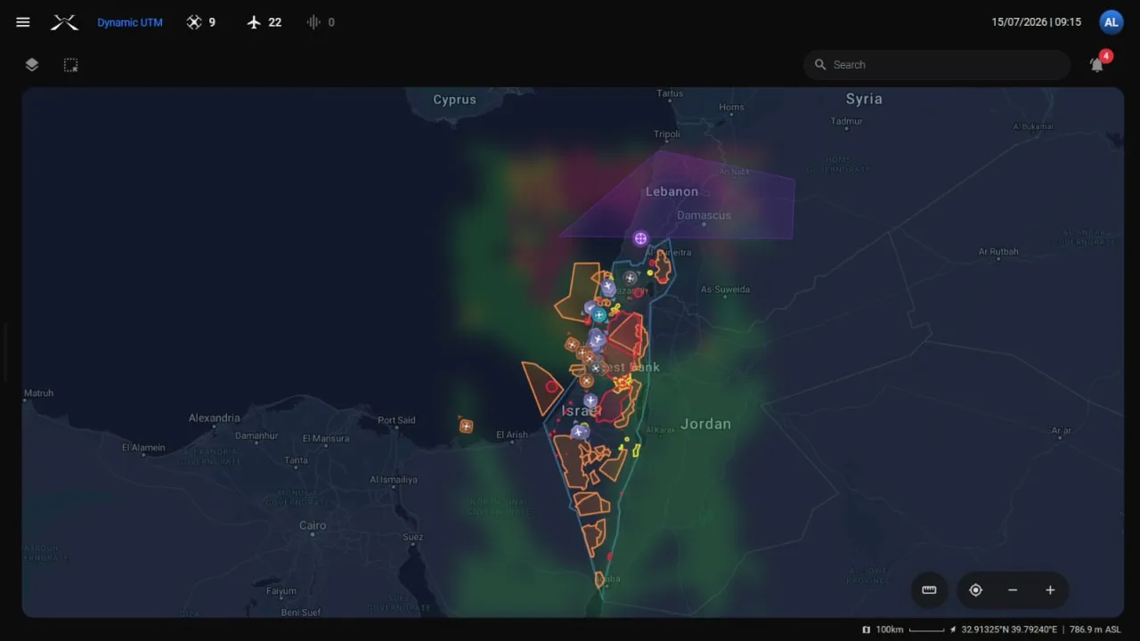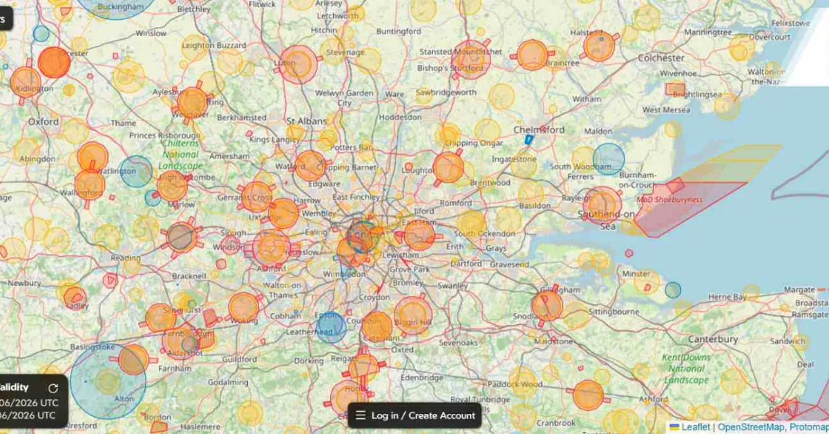
Drone operations beyond a pilot’s visual line of sight are becoming more common across industries, but safely sharing airspace with crewed aircraft remains one of the biggest challenges. A new partnership between uAvionix and Airwise Solutions aims to tackle that problem by giving drone operators a much clearer picture of what’s happening in the skies in real time.
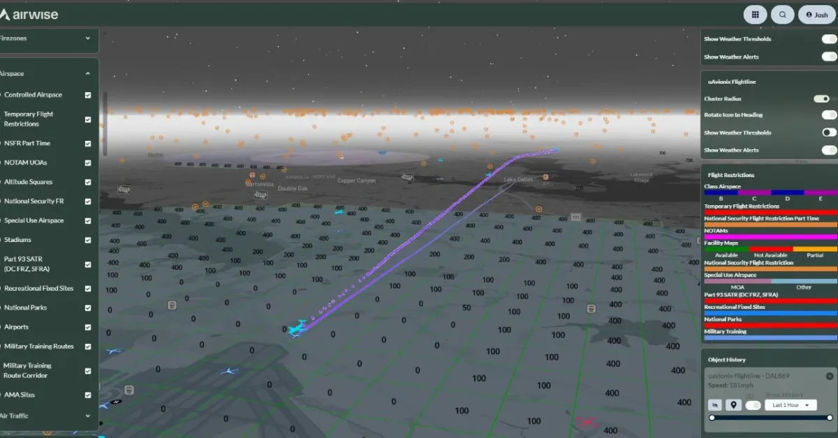
The two companies announced they have integrated uAvionix’s FlightLine surveillance service into Airwise Solutions’ enterprise drone platform and Nexus common operating picture. The collaboration is being rolled out through Skyway Range, a 1,200-square-mile Beyond Visual Line of Sight (BVLOS) flight test range based in Tulsa, Oklahoma.
The goal is straightforward: make advanced drone operations safer and easier to scale by combining reliable aircraft surveillance data with enterprise-grade uncrewed traffic management (UTM) software.
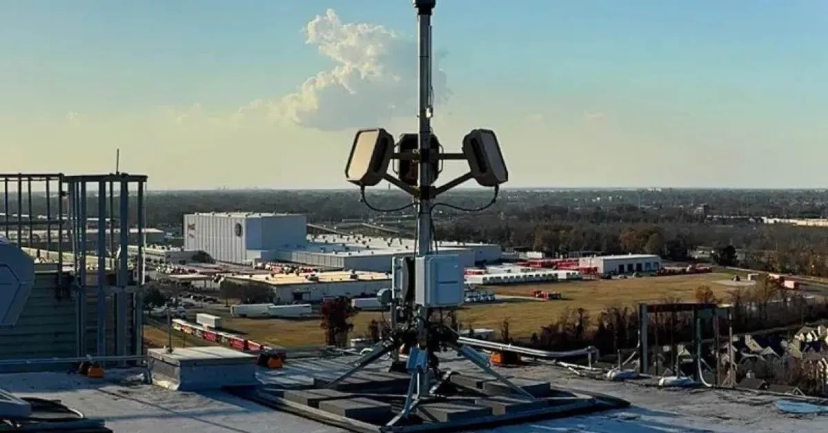
At the heart of the partnership is FlightLine, uAvionix’s nationwide surveillance service powered by its FlightStation network. The system collects Automatic Dependent Surveillance-Broadcast (ADS-B) data across both 978 MHz UAT and 1090 MHz Extended Squitter frequencies, allowing operators to detect cooperative aircraft flying at very low altitudes.