If you’ve ever arrived at a flying location only to discover another drone pilot already operating in the same area, a new feature from The Drone Map aims to make those surprises much less common.
TheDroneMap.com, the free UK drone airspace and hazard mapping platform backed by FPV UK, has launched Flight Reports, a new tool that allows drone operators to publicly share planned flights with other users before takeoff. The idea is simple: improve situational awareness and help pilots coordinate activities in increasingly busy airspace.
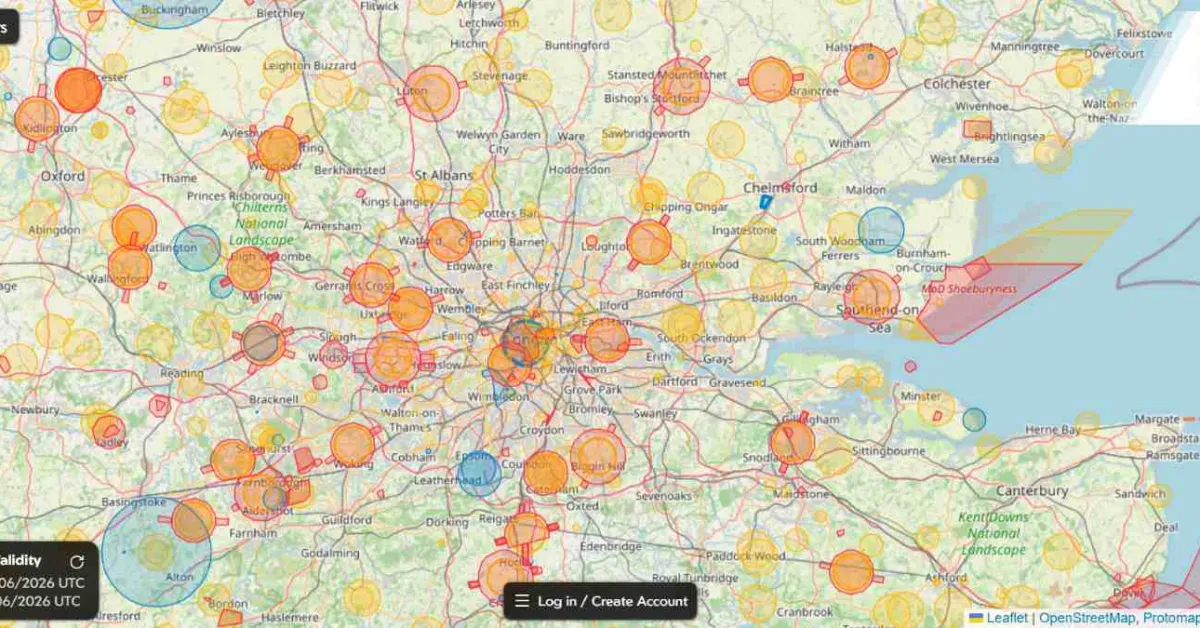
Users can now create a Flight Report directly on the map by long-pressing or right-clicking on a location. They can then draw either a circular or custom-shaped flying area, add details about the operation, specify the maximum flight altitude, and publish the report for others to see. Planned flights appear as blue shapes on the map, making them easy to spot.
Perhaps most importantly, the feature includes a secure contact mechanism. If two operators discover they intend to fly in the same place at the same time, they can communicate through the platform without sharing personal contact details.
The launch addresses a common challenge facing recreational and professional drone operators alike. While UK drone pilots already have access to airspace restrictions, hazard information, and regulatory guidance, there has been no widely adopted system for sharing intended drone operations with fellow flyers.