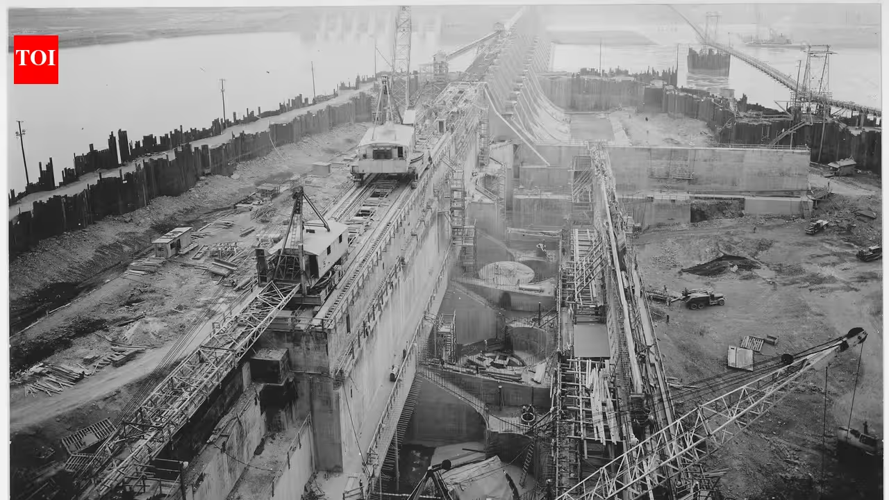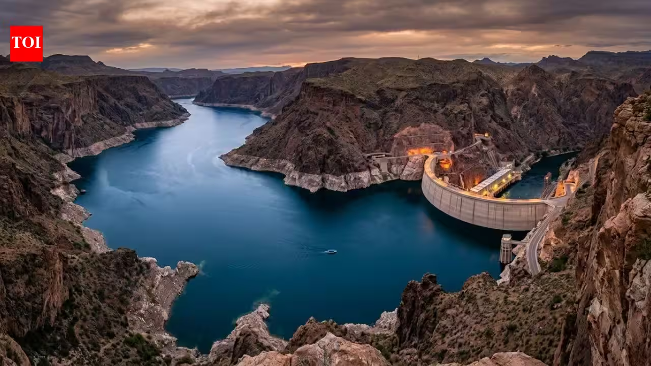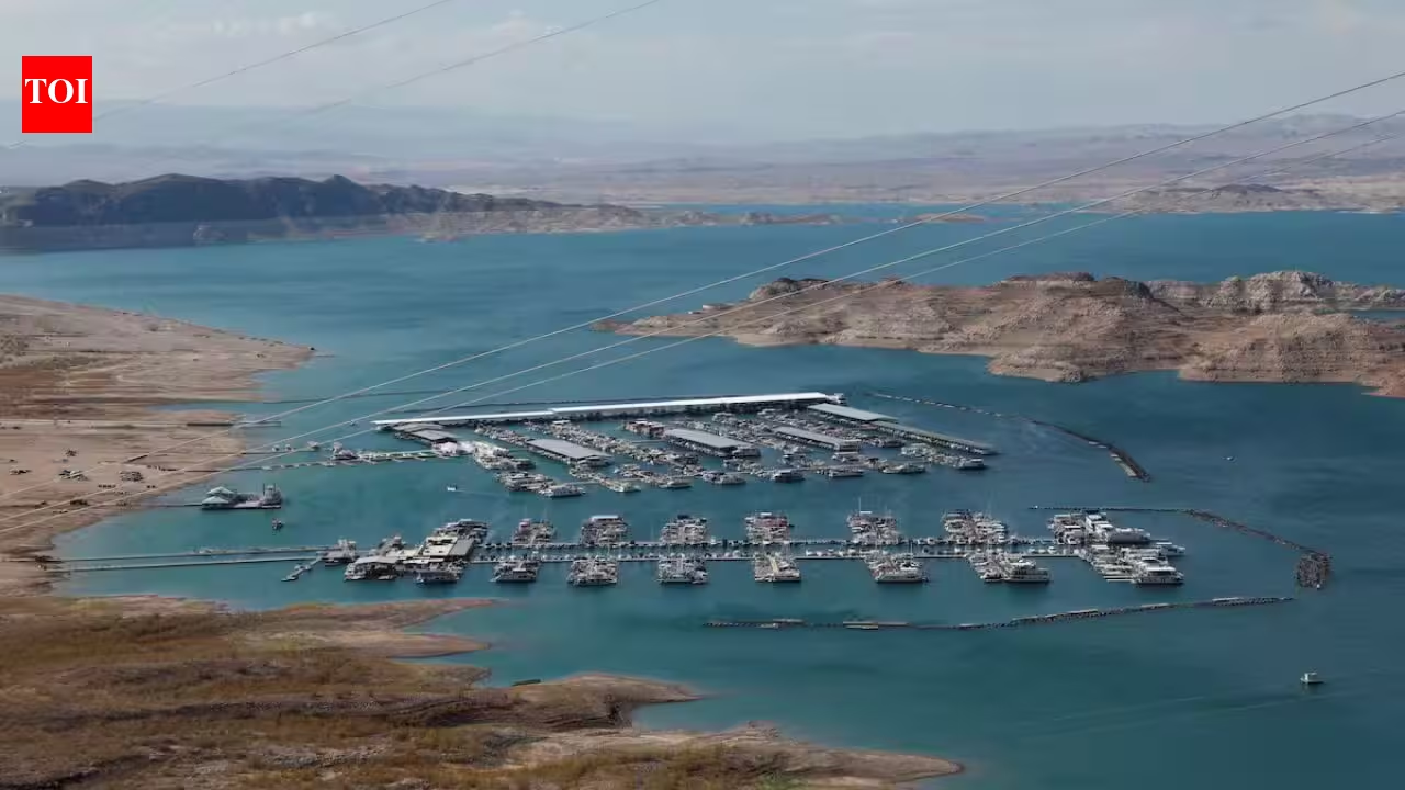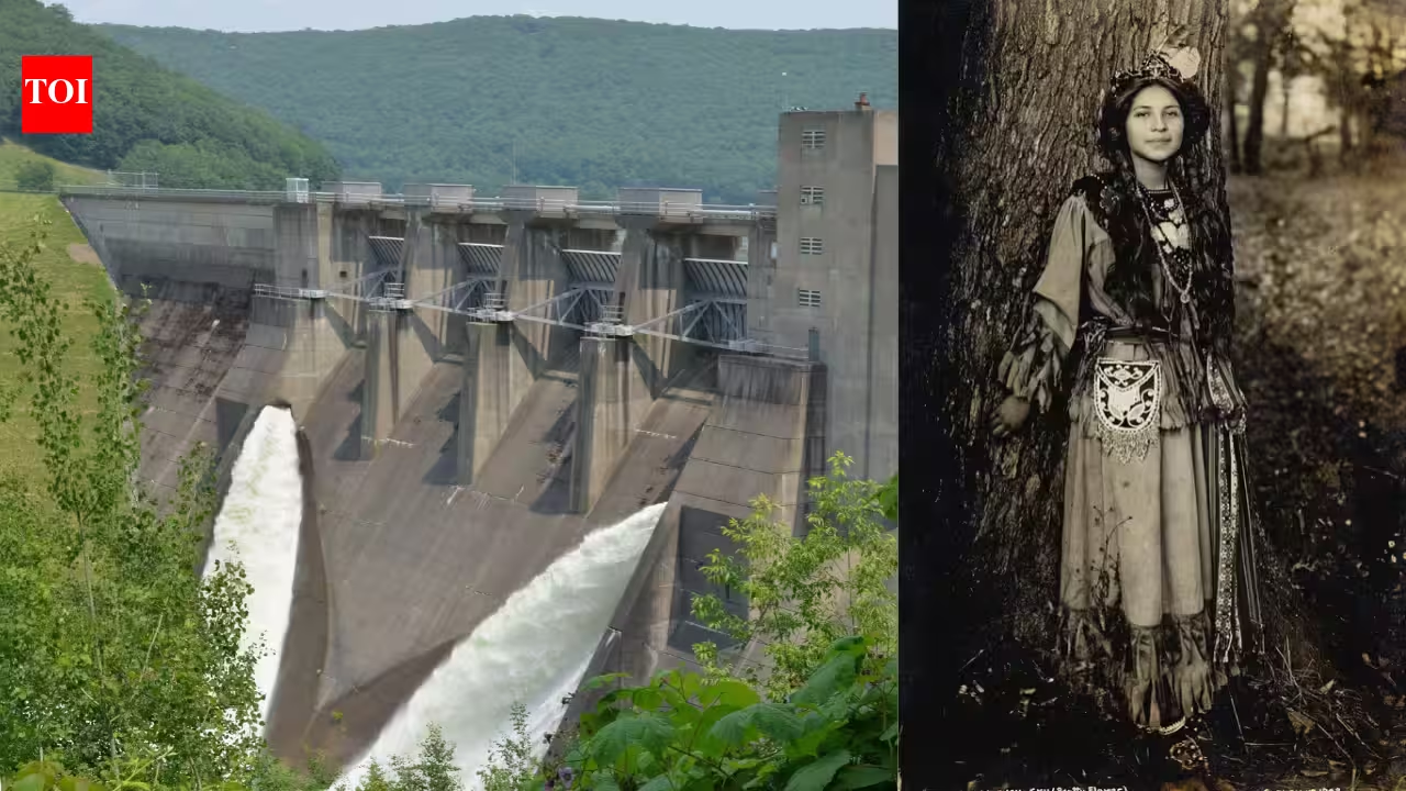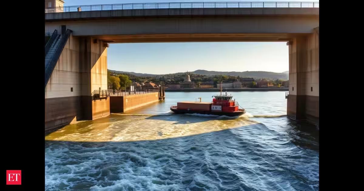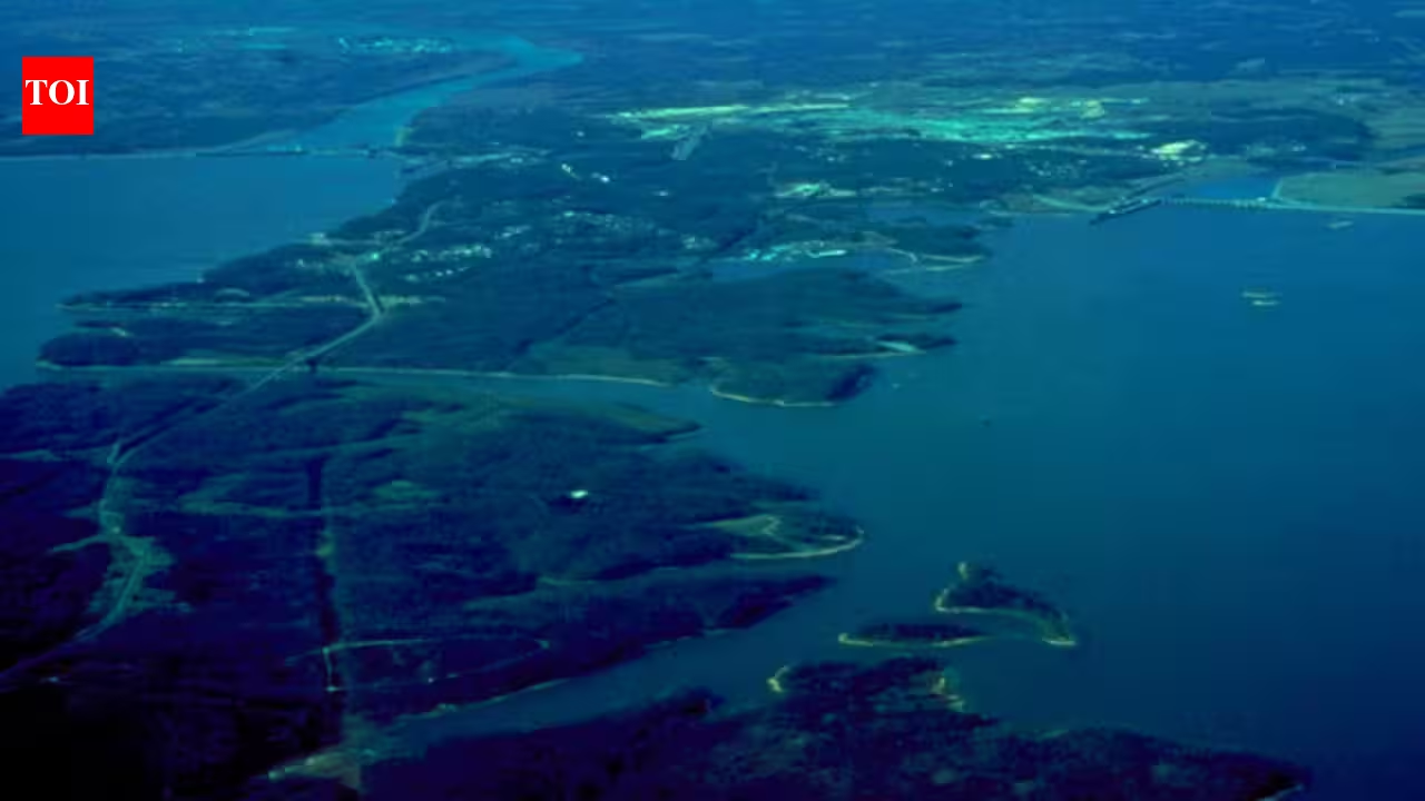
Kentucky and Barkley Lakes aerial view. Wikimedia CommonsIn 1938, the Tennessee Valley Authority began construction on what would become the longest dam in its river system, according to TVA’s own description of Kentucky Dam as “the longest in the TVA system. Six years later, in 1944, the agency closed the gates on Kentucky Dam near Gilbertsville, Kentucky, impounding the Tennessee River and creating Kentucky Lake. The project was built to address two urgent problems in the region: catastrophic flooding along the lower Ohio and Mississippi rivers and a persistent lack of reliable electricity in rural western Kentucky and Tennessee. Decades later, the same stretch of impounded water would help give rise to one of the most visited outdoor destinations in the eastern United States.Responding to a region in crisisAttempts to harness the Tennessee River did not start in 1944. There have been attempts since the 1860s to manage the waterway as an instrument for both navigation and flood prevention, while Congress already approved a ten-year survey of the river basin in 1920. The turning point came after the devastating 1937 Ohio River flood, which destroyed communities in the valley and left many people homeless. In 1938, Congress passed a resolution supporting construction of Kentucky Dam as part of TVA's program to unify flood prevention, navigation, and power generation on the Tennessee River.According to historical accounts of the project, construction started in 1938 in the vicinity of Gilbertsville. At the height of construction, there were nearly 5,000 workers engaged in dam construction and preparation of the basin for the reservoir. The gates of the dam closed on August 30, 1944, while the reservoir was filled up the next year. At a total cost of roughly $118 million, Kentucky Dam represented one of TVA’s largest single investments in hydroelectric infrastructure up to that time.An engineering marvel of grand proportionsThe Kentucky Dam measures 8,422 feet in length, making it the largest dam in the TVA complex, and has an elevation of 206 feet. The lake it formed is 184 miles long, stretching from Gilbertsville to Pickwick Dam in Tennessee, and encompasses 160,300 acres with 2,064 miles of shoreline. That makes Kentucky Lake the largest artificial lake by surface area east of the Mississippi River, a distinction confirmed by the Tennessee Valley Authority, which continues to operate the dam today.The unit should be hyphenated as a compound modifier, and the sentence reads awkwardly. This capacity helps reduce flooding across about 6 million acres of the lower Ohio and Mississippi River basins and lowers flood frequency in another 4 million acres downstream. Power production, although not the original purpose of the dam, is now another important use of the structure. The dam has five hydroelectric units with a total generating capacity of around 220 megawatts, enough to supply power to hundreds of thousands of homes.In addition to its flood control and power production roles, the dam fulfills another long-term aspiration in the region by providing a consistent nine-foot-deep navigation channel from the Tennessee Valley to the nation's inland waterways system. Freight tonnage on the river has risen from about 2 million to more than 31 million tons per year, using a lock that now handles more than 2,000 loaded barges monthly.Human toll of impoundingEstablishing a lake of this scale brought about various impacts on the lives of people living around the river. TVA had to acquire more than 160,000 acres for the lake, forcing residents in several settlements to leave their homes. Some settlements were moved to higher ground, while others were abandoned after residents left. At times, structures from these submerged towns reappear when the lake level is low.The project succeeded well beyond its original scope. Today, Land Between the Lakes draws approximately 2 million visitors annually, a figure reported in NASA's Earth Observatory overview of the site, based on agency data. The paper notes that President Kennedy designated the area a National Recreation Area in 1963 as a demonstration site, and that the land between Kentucky Lake and Lake Barkley was once dotted with small towns and historic settlements that were gradually moved out of the protected land. It also points out that the 700-acre Elk and Bison Prairie was later created to recreate the pre-settlement prairie ecosystem. The U.S. Forest Service, which now manages the site, oversees more than 300 miles of natural shoreline and hundreds of miles of trails spread across the peninsula.Tourists come to enjoy many different activities: hiking and mountain biking in one of the biggest forest preserves in the eastern part of the United States, viewing animals in the Elk and Bison Prairie, participating in the living history at Homeplace 1850s working farm, and viewing the stars at the Golden Pond Planetarium. The area was declared a UNESCO Biosphere Reserve in 1991 in recognition of the significance of its ecology; however, in 2017, the area was withdrawn from this international program.What began in 1938 as an effort to address flooding and rural electricity shortages developed into something far beyond what its founders expected.
In 1944, TVA impounded Kentucky Lake to control floods and make power; decades later Land Between the Lakes drew roughly 2 million visitors a year
In 1938, the Tennessee Valley Authority began construction on what would become the longest dam in its river system, according to TVA’s own description of Kentucky Dam as “the longest in the TVA system. Six years later, in 1944, the agency closed the gates on Kentucky Dam near Gilbertsville, Kentucky, impounding the Tennessee River and creating Kentucky Lake.
835 words~4 min read