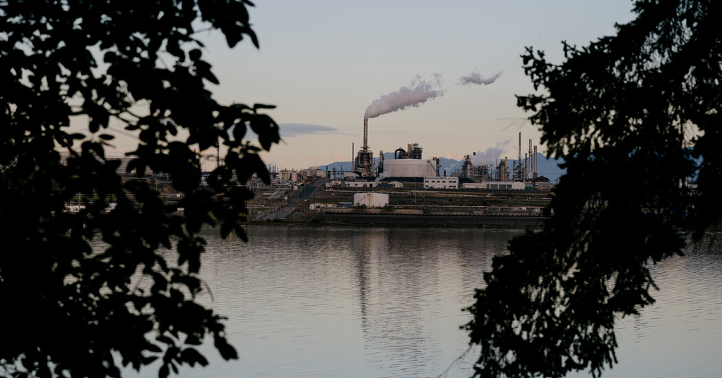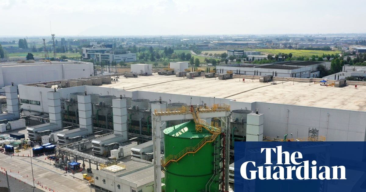
Darya Minovi was mapping pollution from medical sterilization plants across the country when many of the communities she was speaking to began asking the same question. The facilities emit ethylene oxide, a potent carcinogen, and those who lived nearby wanted to know how much the emissions were increasing their cancer risk. She turned to data compiled by the Environmental Protection Agency to find out.
The resulting maps, published in 2023 by the Union of Concerned Scientists, a nonprofit where Minovi is a researcher, revealed that more than 14 million people lived in a 5-mile radius of ethylene oxide-emitting facilities. Crucially, the map highlighted 23 sterilization facilities that the EPA had found emit ethylene oxide at levels that definitively contribute to elevated cancer risk. The project helped raise awareness and was used to push the government to tighten limits on ethylene oxide emissions.
But now, the cancer risk data that made Minovi’s analysis possible has quietly gone offline. After more than two decades of sharing this information with the public, the Environmental Protection Agency has omitted cancer risk estimates from its latest update to national air pollution data. The agency is continuing to release raw pollution figures, but it is no longer providing information on the additional cancer risk that the emissions cause. It has also not updated its searchable U.S. map of cancer risk from air pollution with the most recent data.