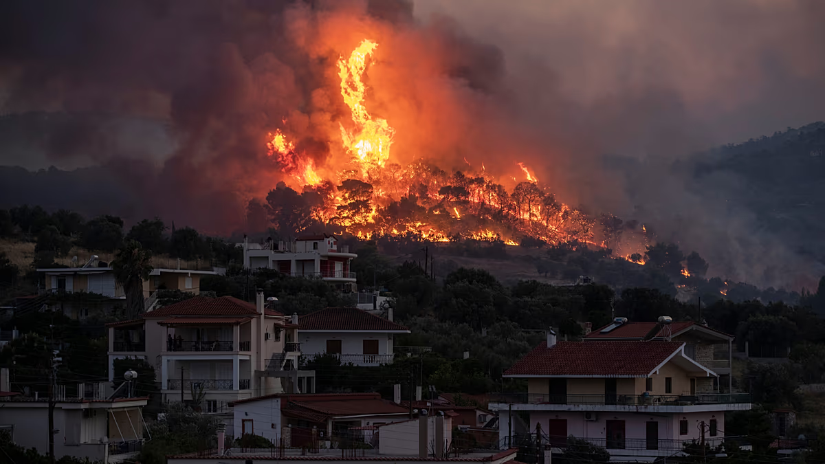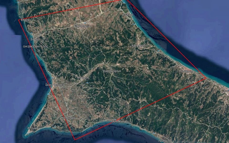
The European Union has activated its Copernicus Emergency Management Service to provide satellite-based mapping and data for a wildfire that broke out Thursday in Kassandra, on Greece’s Halkidiki peninsula, the Ministry of Climate Crisis and Civil Protection said.
The service was activated at the request of Greece’s Civil Protection authorities under the code EMSR918.
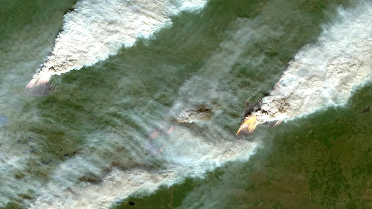
It will produce maps and other data identifying areas affected by the fire in the municipality of Kassandra, supporting emergency response and damage assessment.
The EU approved the request, and the first satellite-derived mapping products are expected to become available shortly.
Greek authorities will distribute the data and maps free of charge to agencies involved in the emergency response.