Support CleanTechnica's work through a Substack subscription, on Patreon, or on Stripe. Help us produce all of the high-quality, original content we publish week after week despite the challenges of content-scraping AI, antisocial media, inflation, and other hurdles.
By Irene Sans, Yale Climate Connections
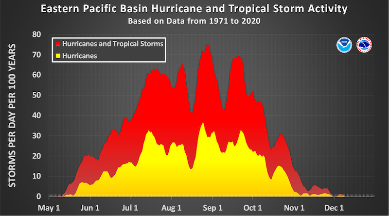
The Eastern Pacific continues to be very active. This is very typical for this time of year — and especially in seasons like this one, with an El Niño event strengthening — and with record-setting sea-surface temperatures, the activity is not expected to stop anytime soon. After Genevieve, the next named storm will be Hernan. This will likely happen this week, as the National Hurricane Center has already designated a system located a little over 1,000 miles east-southeast of Honolulu, Hawaii, as Potential Tropical Cyclone One-C.
Figure 1. NHC’s official track for Potential Tropical Cyclone One-C, issued on Wednesday morning at 11 a.m. HST. (Image credit: NHC)
PTC 1-C is expected to strengthen throughout the rest of this week, and it will likely be named Hernan by Friday at the latest. The estimated minimum central pressure at 11 a.m. EDT Wednesday was 1003 mb, or 29.62 inches of mercury. Heavy rainfall is expected to begin on the Big Island on Friday and move into Maui by the beginning of the weekend, continuing to impact much of the rest of the Hawaiian Islands throughout the weekend. There’s the potential for rainfall totals between 5 and 10 inches across much of the island chain, but some spots could accumulate up to 20 inches.