Support CleanTechnica's work through a Substack subscription, on Patreon, or on Stripe. Help us produce all of the high-quality, original content we publish week after week despite the challenges of content-scraping AI, antisocial media, inflation, and other hurdles.
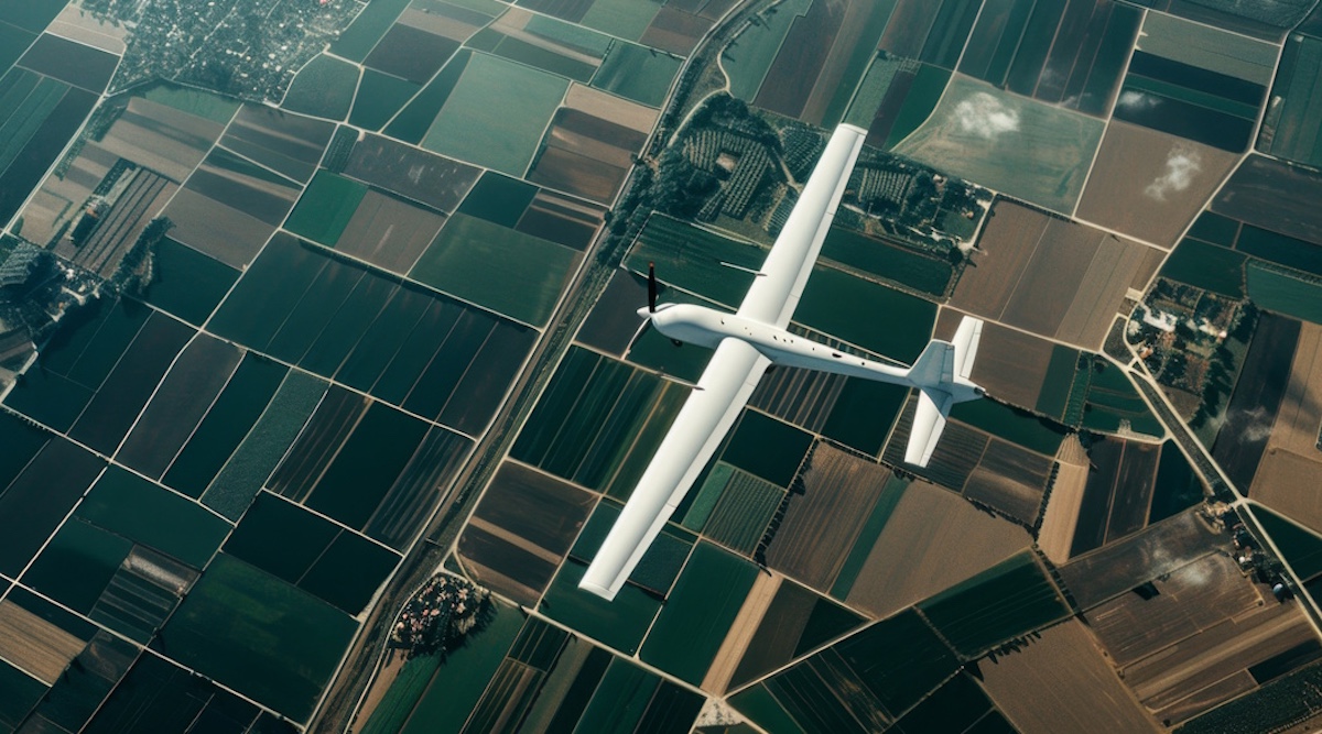
SolarAnywhere® is often associated with utility-scale or distributed PV, but our solar irradiance data powers a lot more than solar plants. A great example: Piotr Lichota at the Warsaw University of Technology is using SolarAnywhere to figure out when to launch solar-assisted Unmanned Aerial Vehicles (UAVs), and how long they can realistically stay in the air.
Solar UAVs are being developed for autonomous environmental monitoring, precision agriculture and search-and-rescue. The success of this technology, however, depends heavily on weather. Weather unpredictability, such as dynamic low-altitude cloud cover in regions like Central Europe, can greatly limit their potential applications.
Modeling UAV flight duration probabilities using SolarAnywhere
To realistically assess whether a UAV can successfully complete a mission, Piotr realized he must find a way to precisely replicate real-world atmospheric volatility. To move past theoretical clear-sky assumptions, he built a simulation framework on top of the SolarAnywhere 25+ year, satellite-derived irradiance dataset.