Show Caption
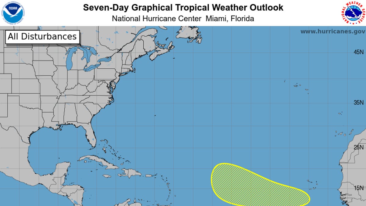
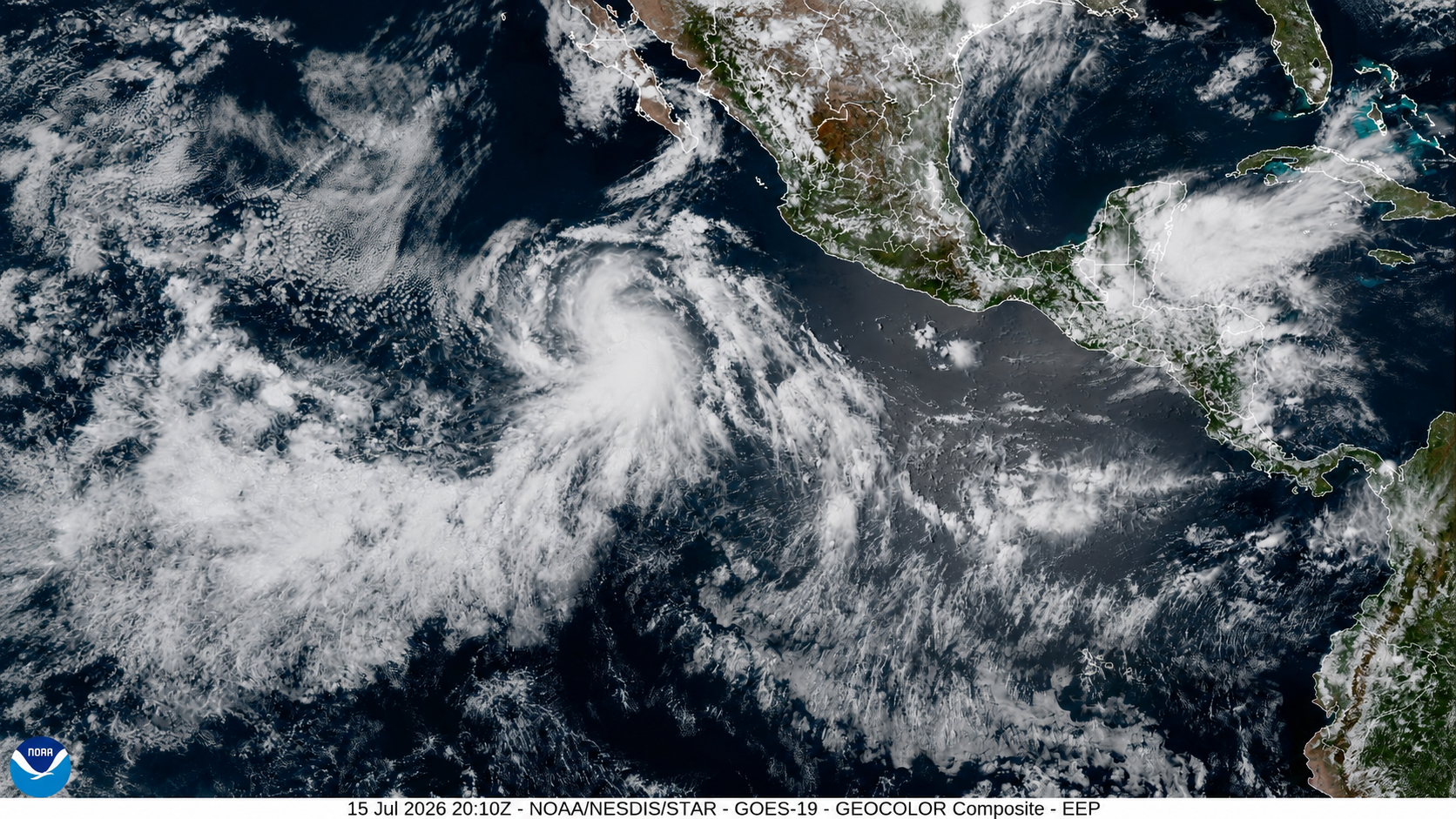
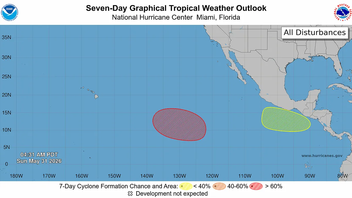
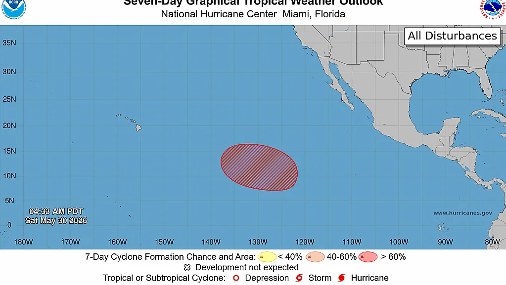
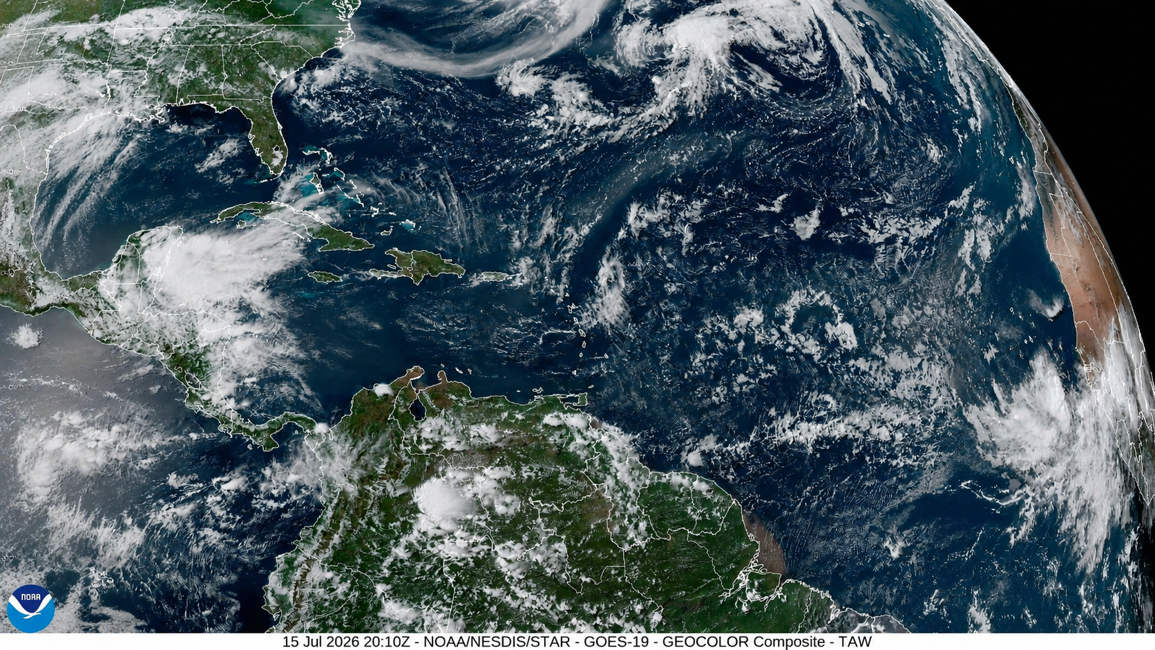
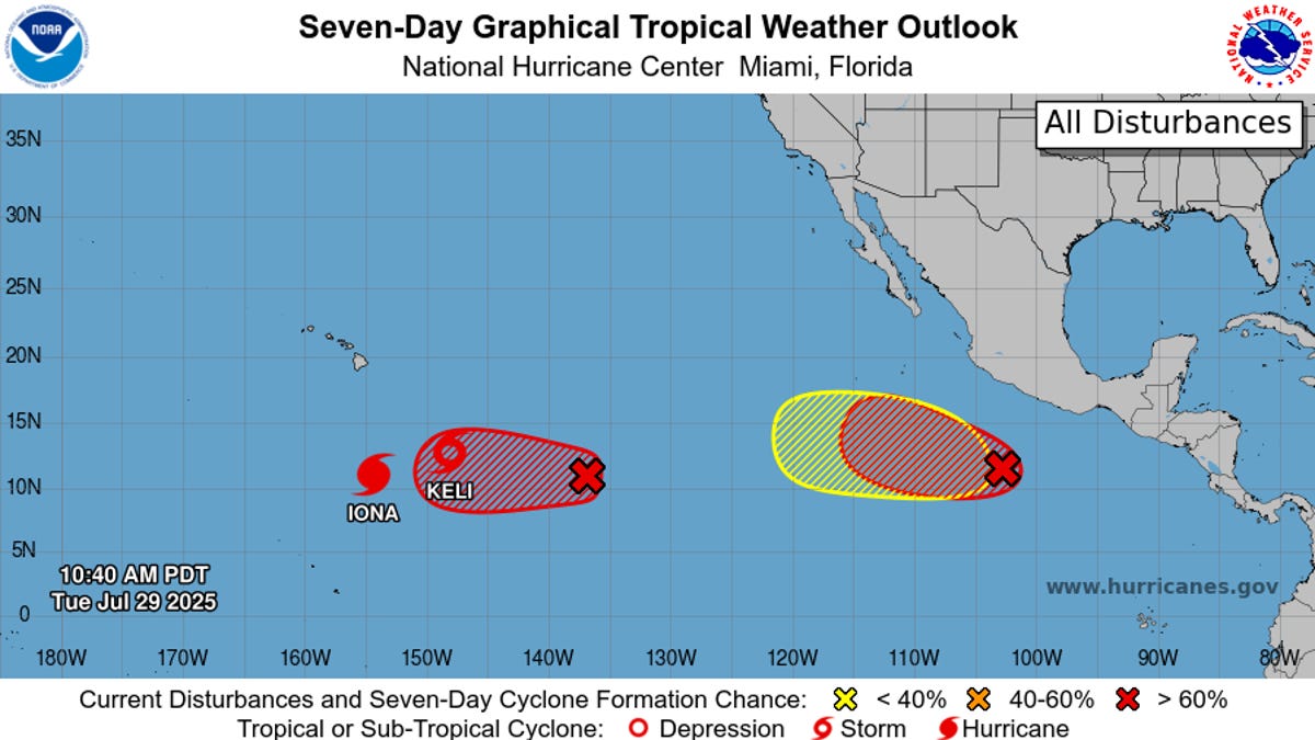
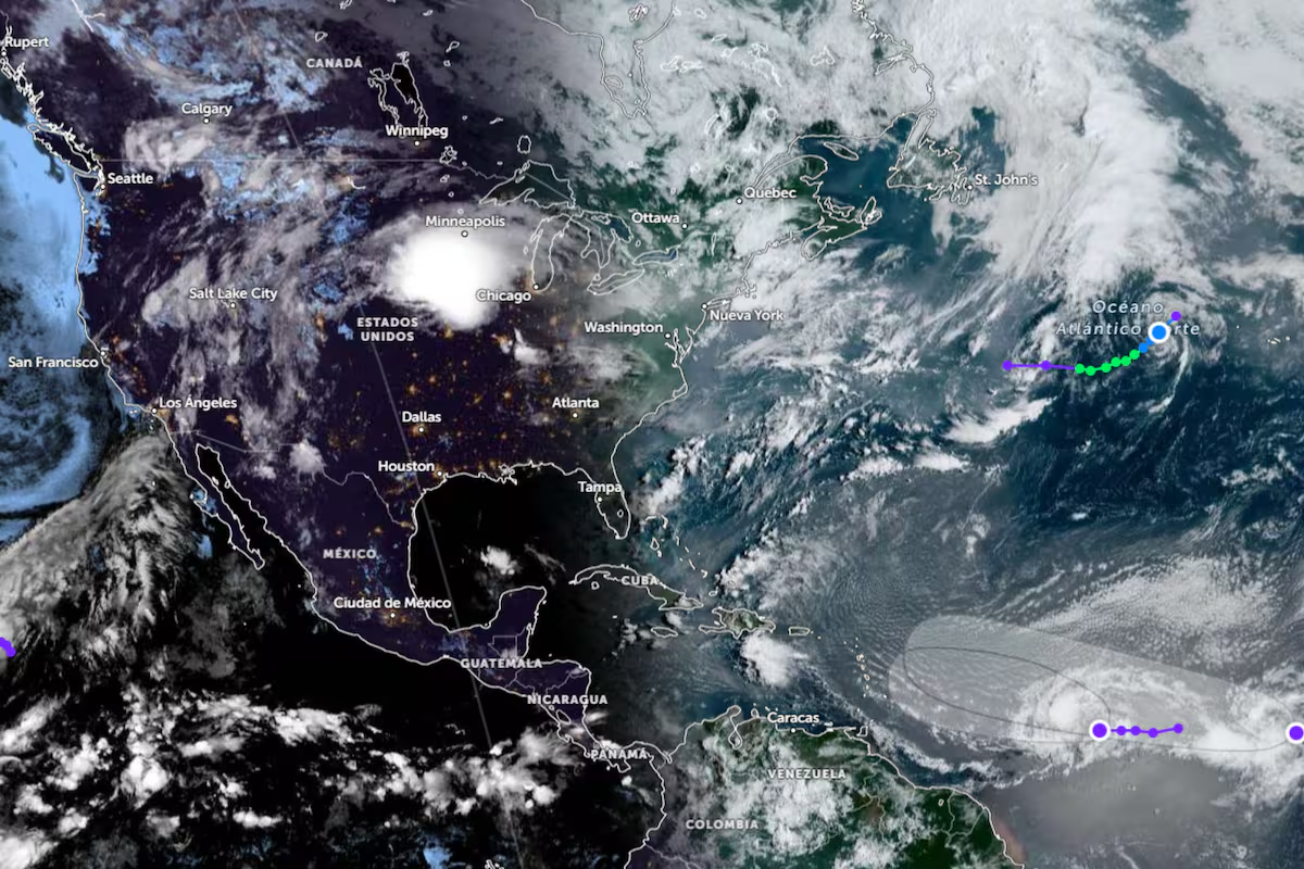
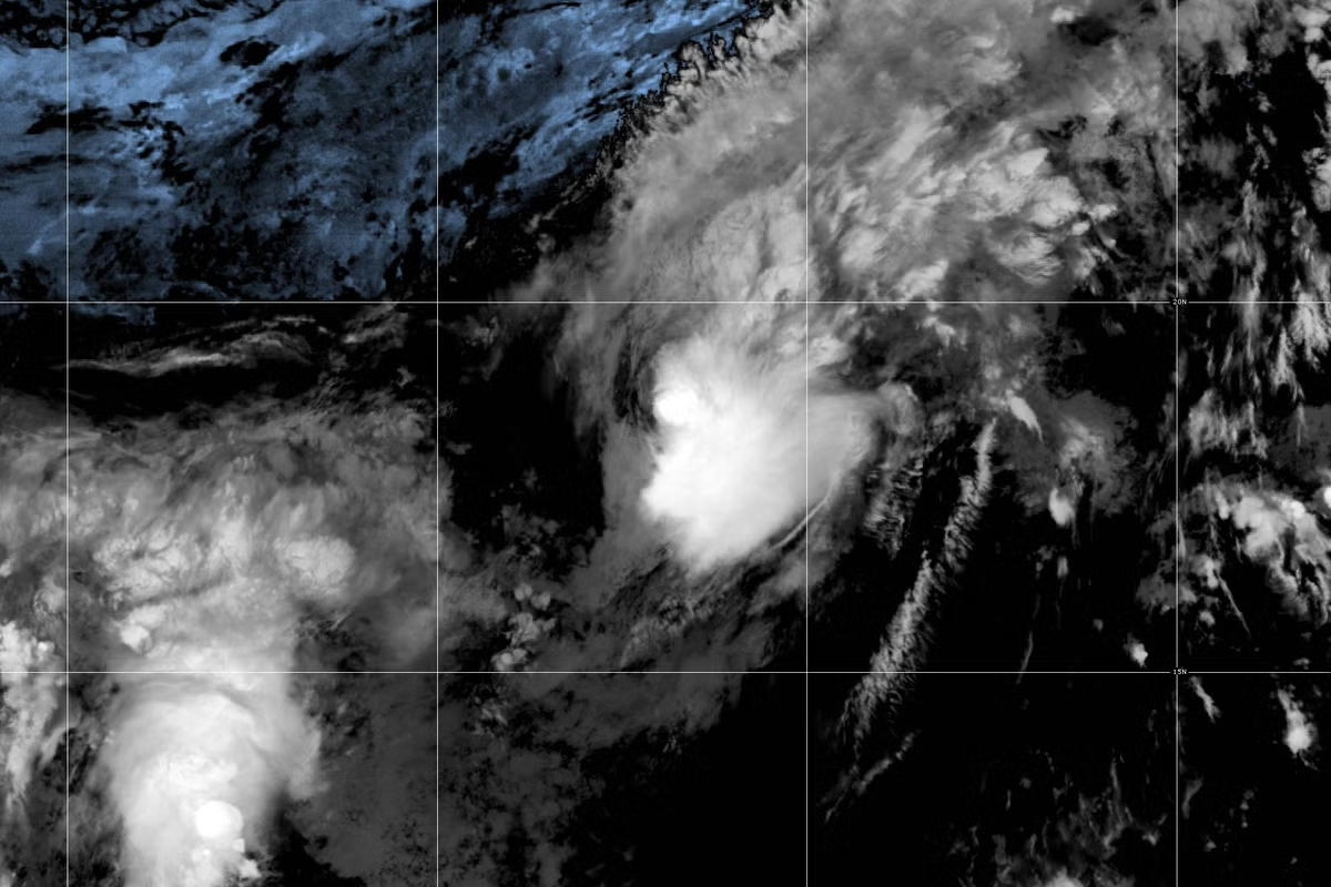
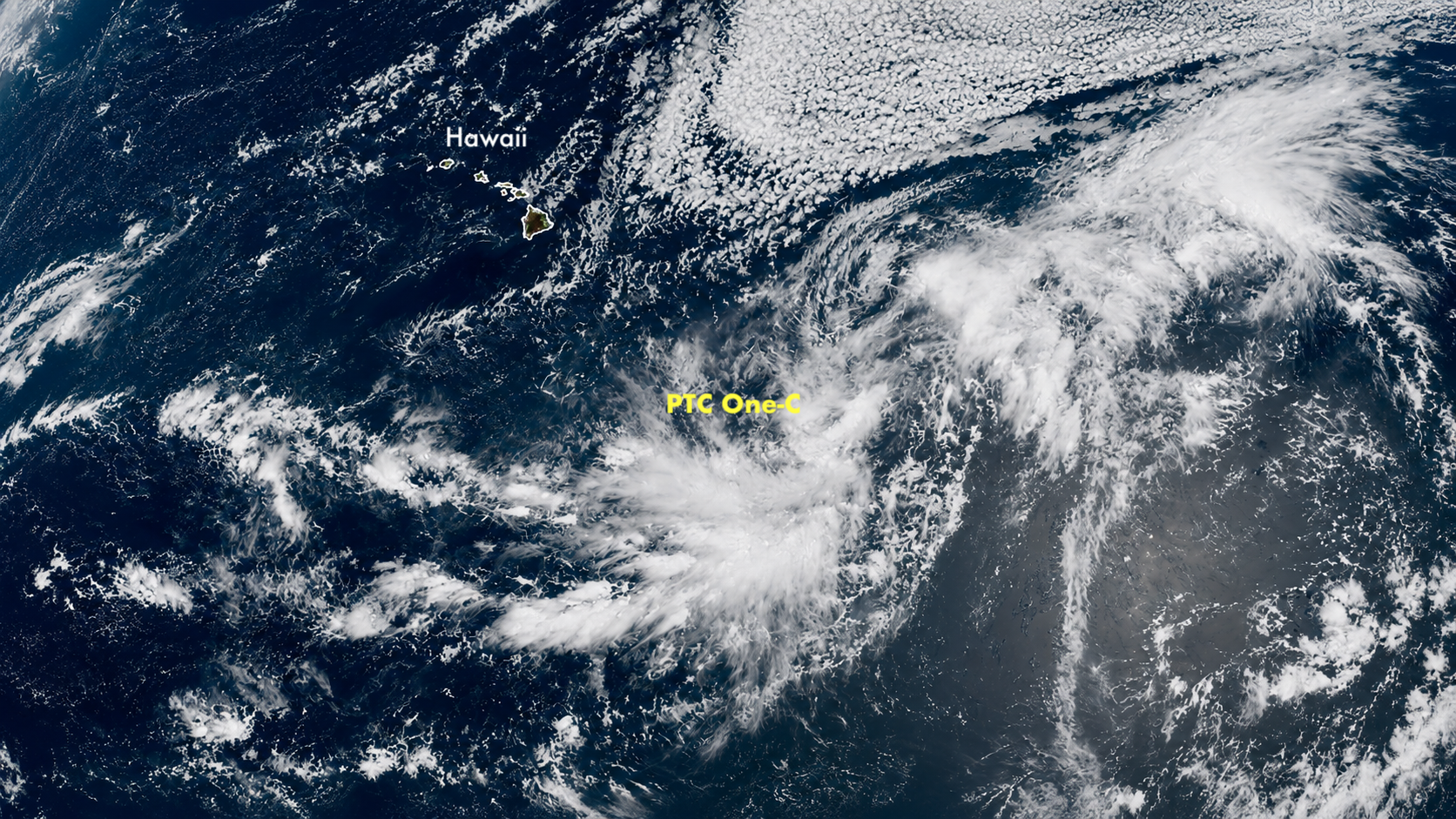
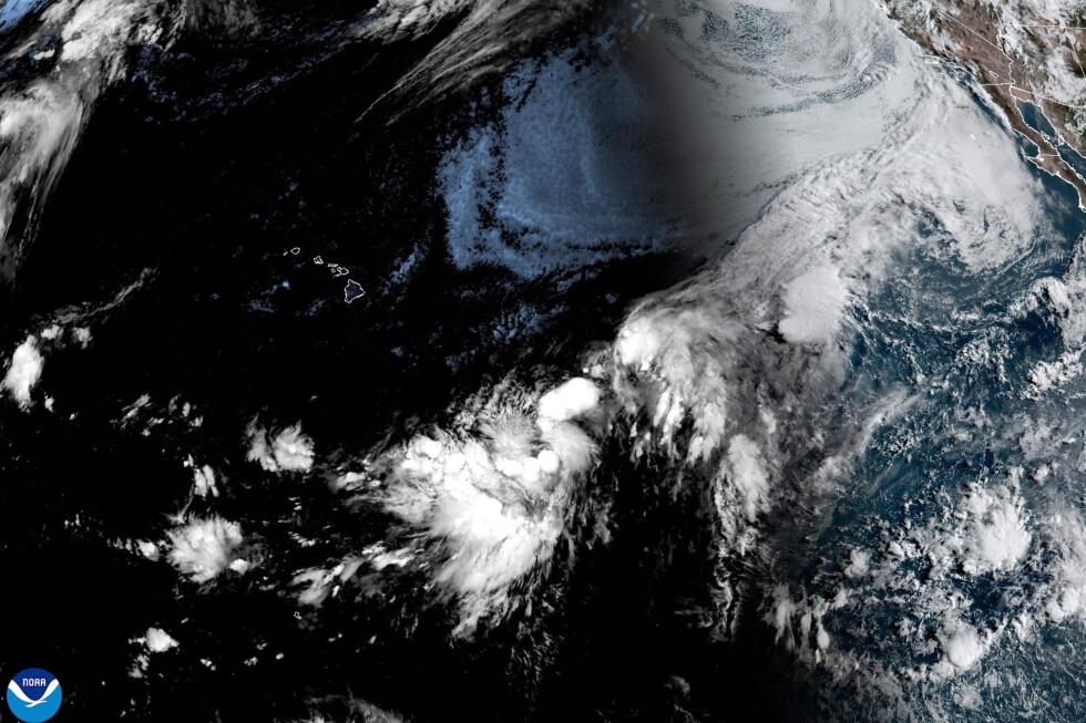
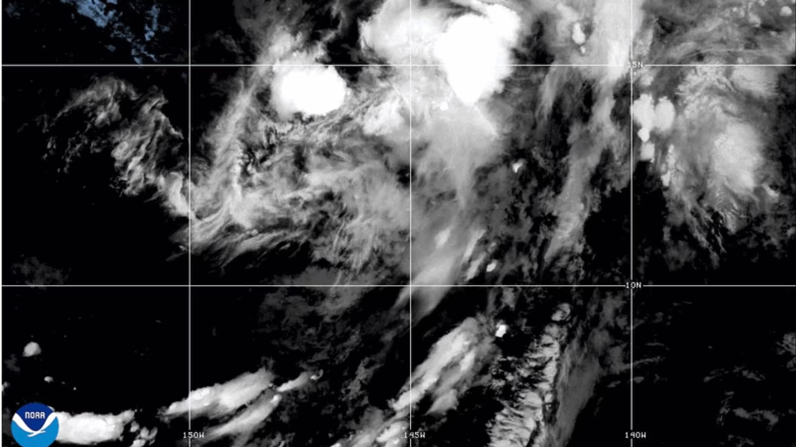
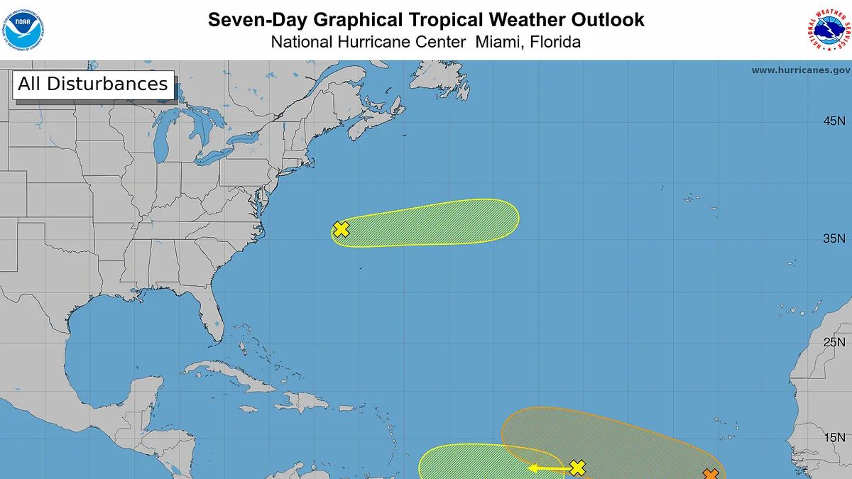
While the Atlantic tropics are awakening from their recent slumber, the Pacific continues to churn out storms."All of a sudden, this looks like a typical tropical Atlantic in mid-August," said Weather Trader meteorologist Ryan Maue in a Substack post late Aug. 9.While none of the systems in the Atlantic are an immediate threat to land, that's not the case in the Pacific, where a developing disturbance could impact Hawaii later this week, potentially as a hurricane.Atlantic awakensThere are three separate areas of potential tropical development in the tropical Atlantic, the National Hurricane Center said.The one with the greatest chance of development – at 60% – is a few hundred miles south of the Cabo Verde Islands. "As this system moves slowly westward, a tropical wave currently over west Africa is expected to merge with it in a couple of days," the hurricane center said in an online forecast."Environmental conditions are forecast to be more conducive for development by midweek, and a tropical depression could form during the latter half of this week while the system moves westward to west-northwestward across the central tropical Atlantic," the hurricane center said.Bryan Norcross, a FOX hurricane specialist and founder of HurricaneIntel.com, in a post on X, said “the combo has a medium chance of becoming at least a depression and heading in the general direction of the northeast Caribbean.”“In general, models have trended more bullish in terms of its potential development since Friday and the easternmost Caribbean islands – from the Lesser Antilles to Puerto Rico – will want to monitor the forecast trends this week,” said Michael Lowry, a hurricane expert with Local 10, a Miami television station, in a morning post on his Substack blog on Aug. 10.Cristobol is the next name up for grabs in the Atlantic, following Arthur and Bertha, tropical storms that formed with minimal fanfare earlier this summer.Forecast models show the second tropical disturbance “harmlessly sailing into the southern Windward Islands, Trinidad and Tobago, and parts of northern Venezuela by mid-week and development isn’t expected,” Lowry said.A third system, in the open Atlantic north of Bermuda, is rapidly moving east and not expected to be a threat.Hawaii could see tropical impact this weekThe National Weather Service in Hawaii is "closely monitoring a large area of disorganized convection for potential tropical cyclone development roughly 1,100 miles east-southeast of the Hawaiian Islands. Based on the latest update from the hurricane center, environmental conditions are conducive for further development of this system into a tropical cyclone by the middle of this week."The system has a 90% chance of becoming Tropical Storm Lala, according to the hurricane center. And Maue said one weather model shows a hurricane nearing the Big Island of Hawaii late on Friday, Aug. 14.The weather service said "the long range Hawaii forecast for this upcoming weekend could change dramatically if this system develops and then moves towards the islands."How does El Niño impact hurricanes?El Niño, a natural warming of seawater in the tropical Pacific Ocean, often boosts the number of tropical storms and hurricanes in the Pacific. It tends to have the opposite impact in the Atlantic.The current El Niño is well on the way towards becoming the strongest on record.Indeed, El Niño typically reduces Atlantic hurricane activity by increasing wind shear and dry, stable air over the basin, making it harder for storms to form and strengthen, though dangerous hurricanes can still occur, according to the National Oceanic and Atmospheric Administration, the parent agency of the weather service and hurricane center.Recent wind shear in the Atlantic has been the highest on record for this time of year, according to an Aug. 10 post on X from Colorado State University hurricane researcher Phil Klotzbach. "El Niño has very strong imprints on this season already," he said.Meanwhile, in the Pacific, El Niño tends to supercharge the hurricane season by warming ocean waters and diminishing wind shear, creating conditions that favor more frequent and stronger storms across the eastern and central Pacific, NOAA said.So far this year, seven named storms have formed in the eastern Pacific basin.Doyle Rice and Dinah Voyles Pulver are national correspondents for USA TODAY, focusing on weather and climate. Reach them at drice@usatoday.com and dpulver@usatoday.com.