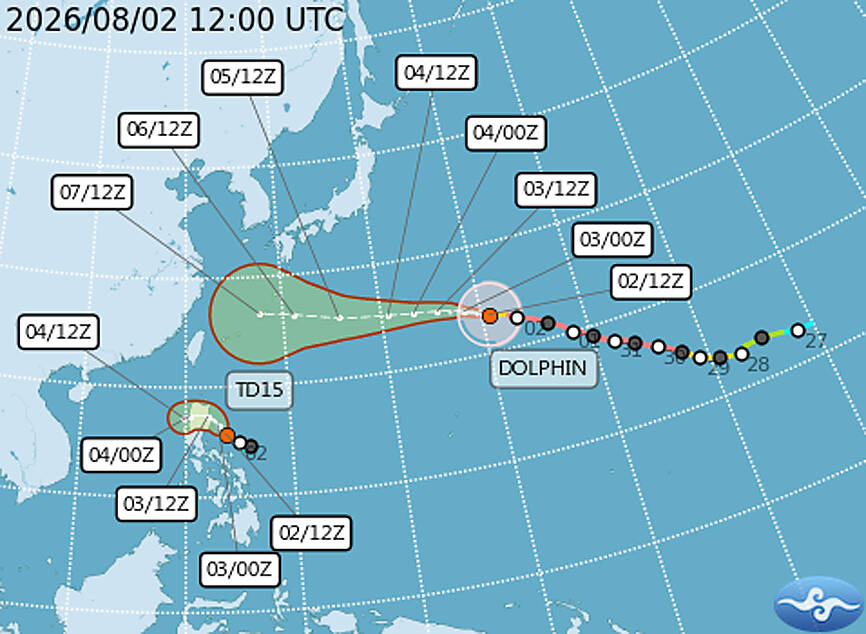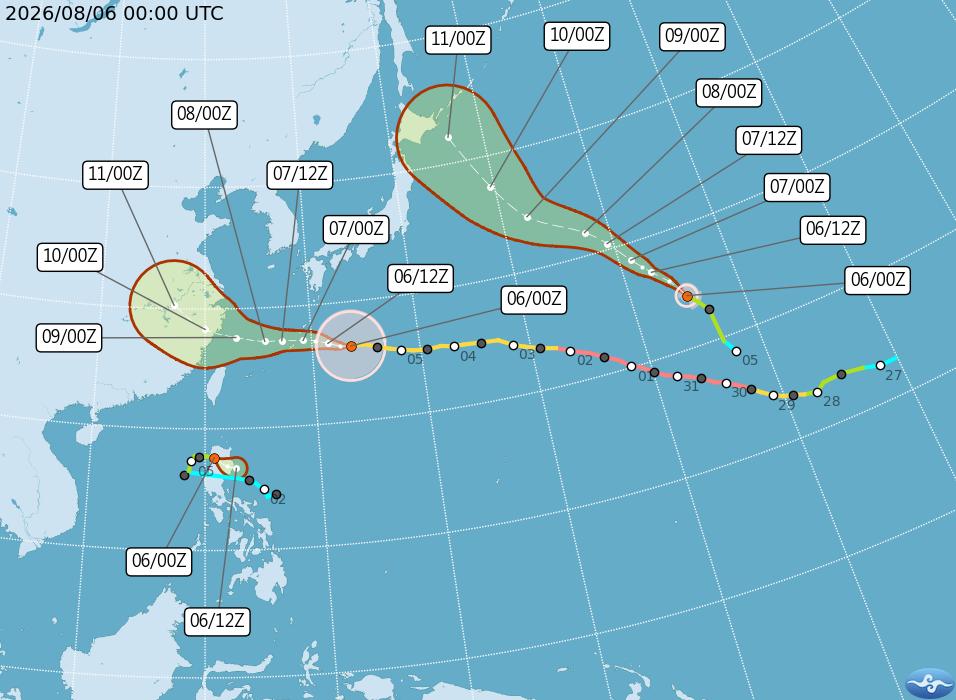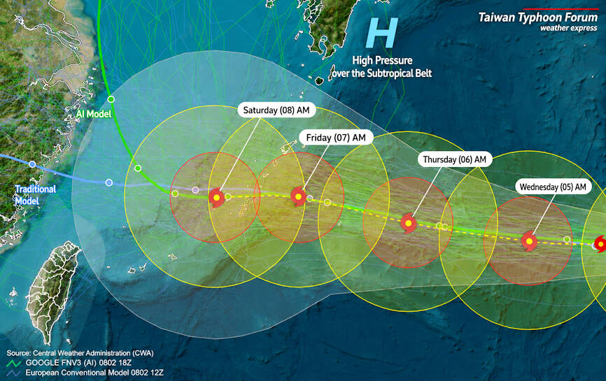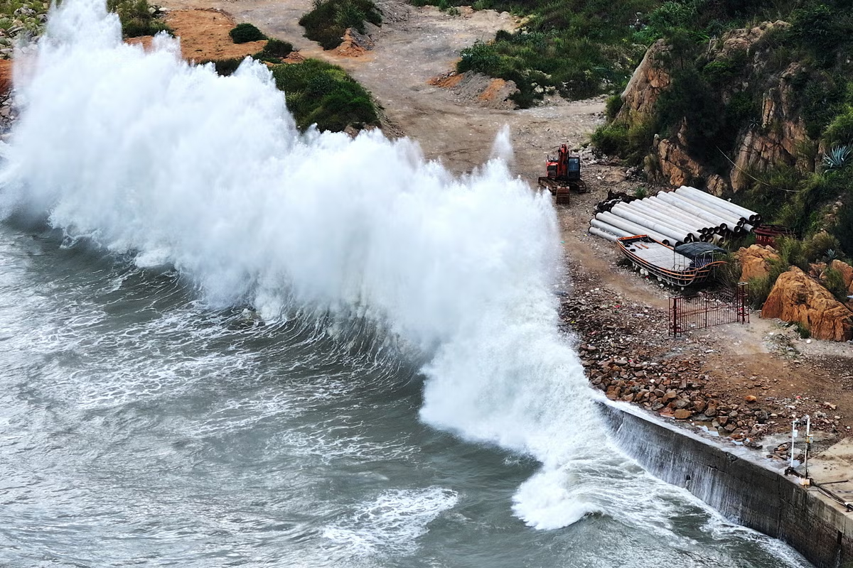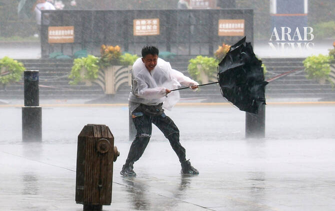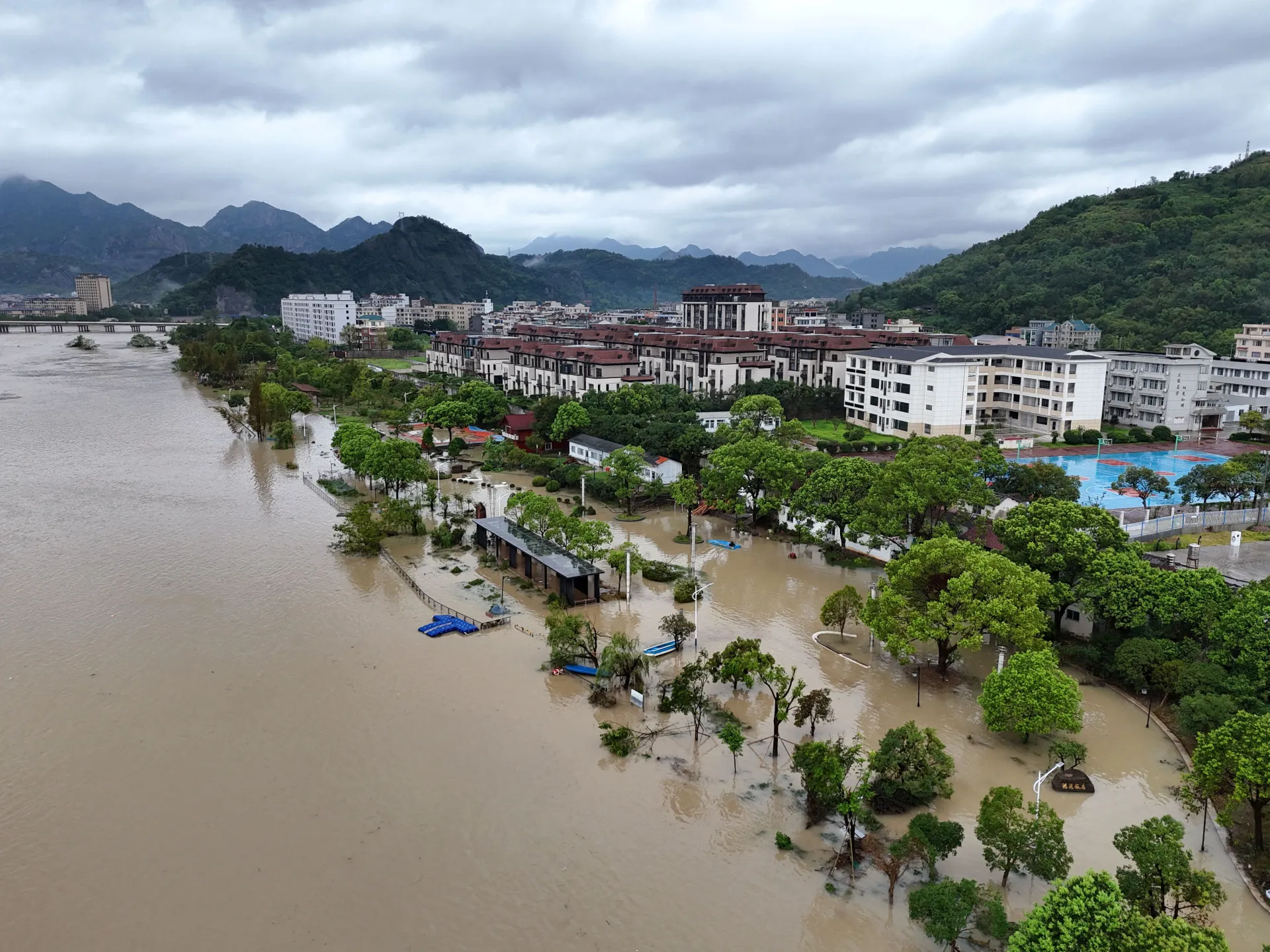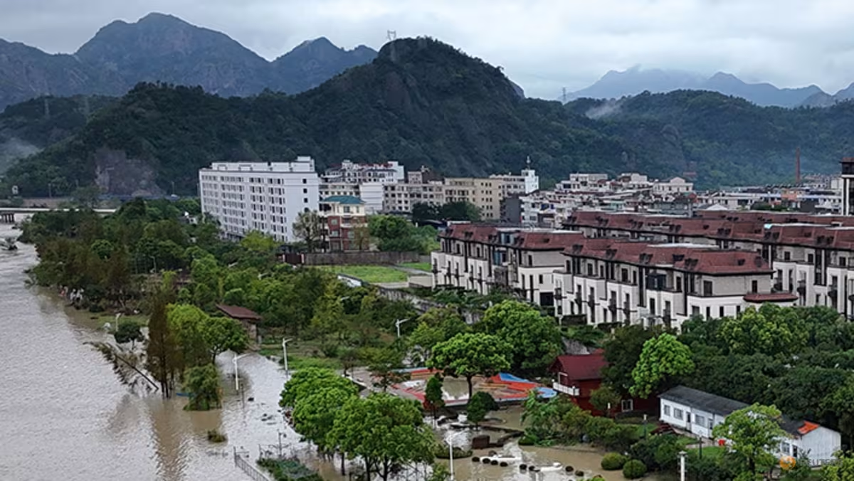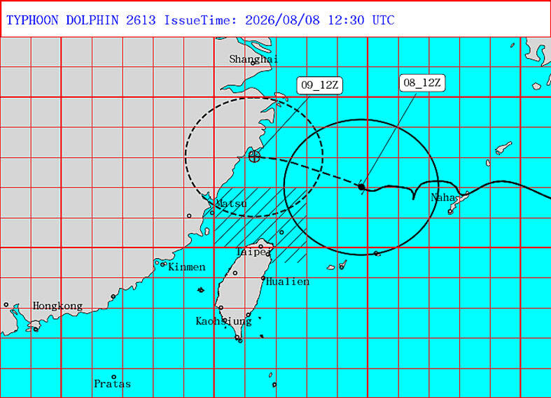
Typhoon Dolphin was expected to make its closest approach to Taiwan yesterday afternoon through today before continuing west toward China, the Central Weather Administration (CWA) said yesterday, forecasting that mountainous areas of Hsinchu and Miaoli could receive the heaviest rainfall, with precipitation expected to reach 350mm to 500mm. The rain could fall within a single day, raising the risk of torrential downpours, the agency warned.The likelihood of a land warning for Taiwan proper has been ruled out, while the chance of a land warning for outlying Lienchiang County has fallen from the previous day’s estimate, it added.
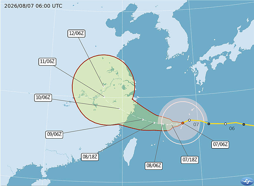
A map shows the projected path of Typhoon Dolphin as of 12:30pm yesterday.
Photo courtesy of the Central Weather Administration
If Dolphin’s track and intensity develop as predicted, all typhoon warnings could be lifted at about noon today, the CWA said.As of 8pm yesterday, Dolphin was about 390km northeast of Taipei and moving west-northwest at 16kph before turning west, with maximum sustained winds of 126kph, CWA data showed.
The storm is expected to continue weakening as it passes north of Taiwan, but would likely remain a moderate typhoon until it reaches China, the CWA said.