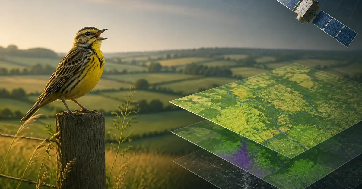
The EU-funded BirdWatch project is building a Copernicus-based service that uses satellite observations and artificial intelligence to map habitat suitability for farmland birds across the European Union. Its purpose is practical: give policymakers and conservation stakeholders evidence that can help direct habitat interventions and Common Agricultural Policy, or CAP, greening measures to places where they may have the greatest effect.
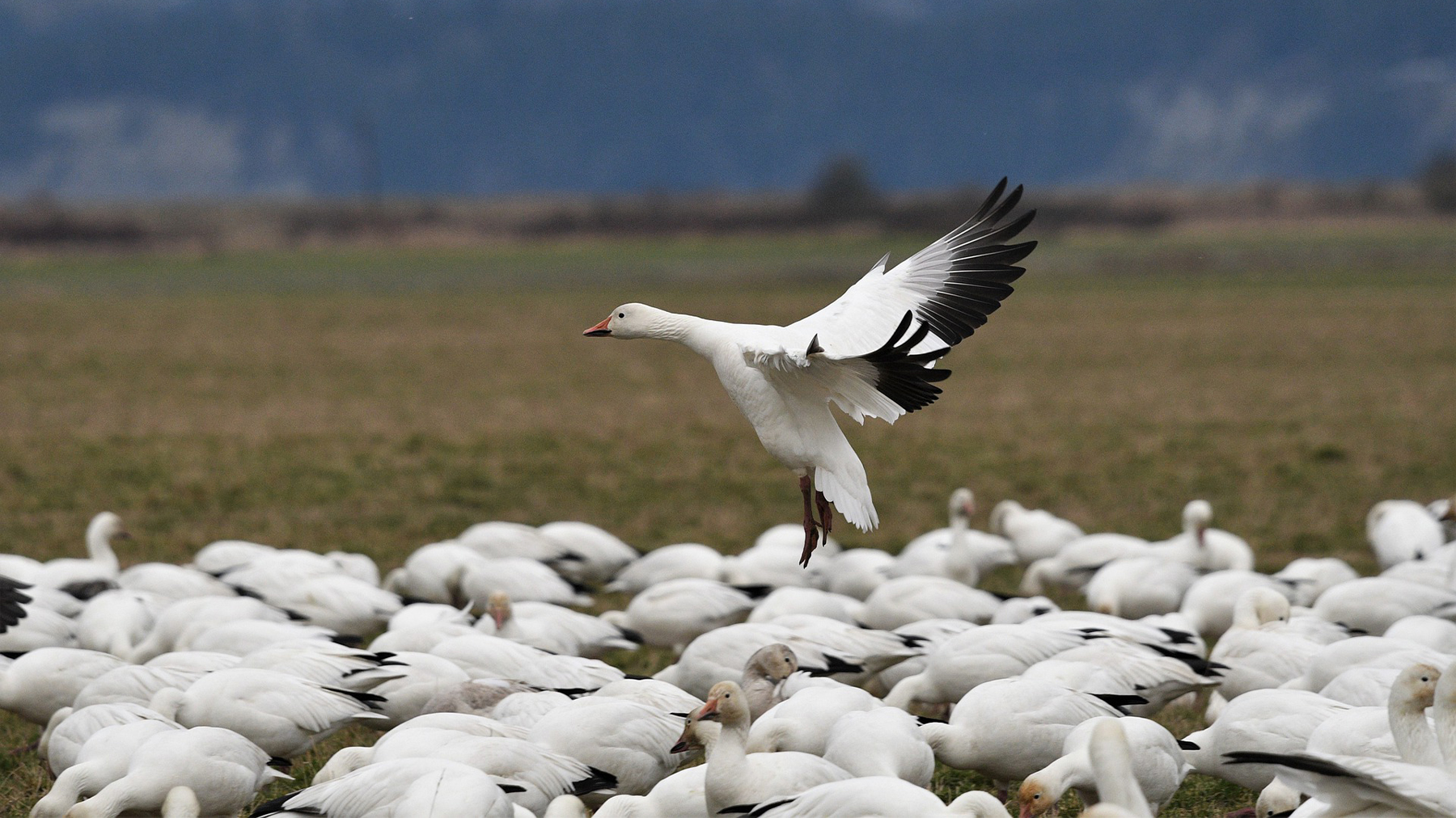
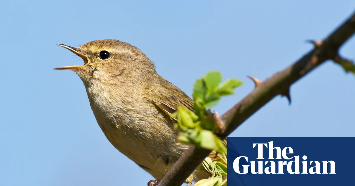
Farmland birds are closely tied to agricultural landscapes, making habitat conditions and land-management choices central to conservation planning. BirdWatch addresses that challenge with Earth Observation data and models rather than relying only on local assessments. According to the European Commission's CORDIS project record for BirdWatch, the initiative aims to improve farmland bird habitat suitability through satellite-enabled monitoring, evaluation and optimisation of CAP greening measures, including a freely available EU-wide monitoring tool.
The project is significant because it connects three areas that are often handled separately: satellite data, ecological modelling and agricultural policy. Rather than treating geospatial analytics as a standalone technical exercise, BirdWatch is designed to make its outputs useful for region-specific eco-schemes and agri-environmental interventions.