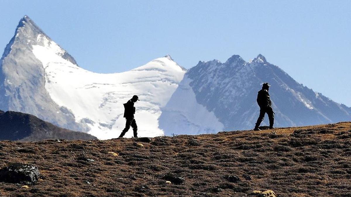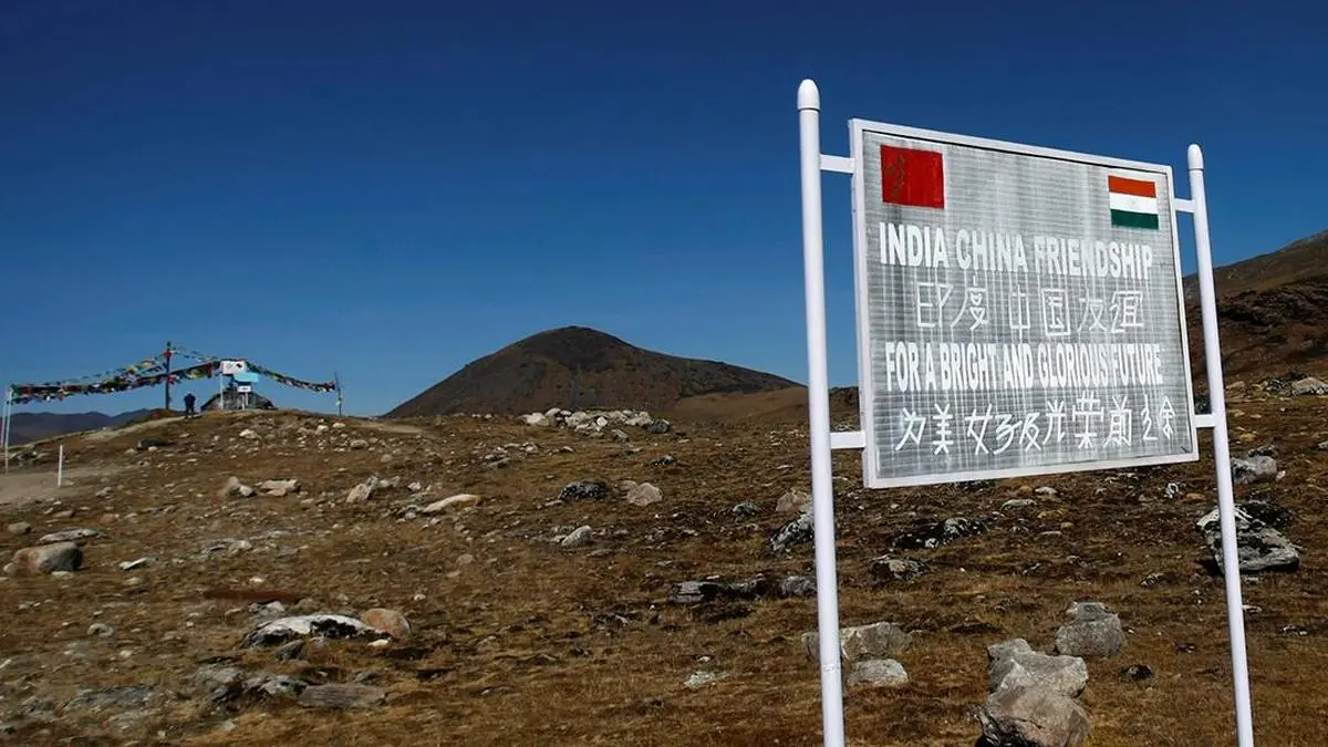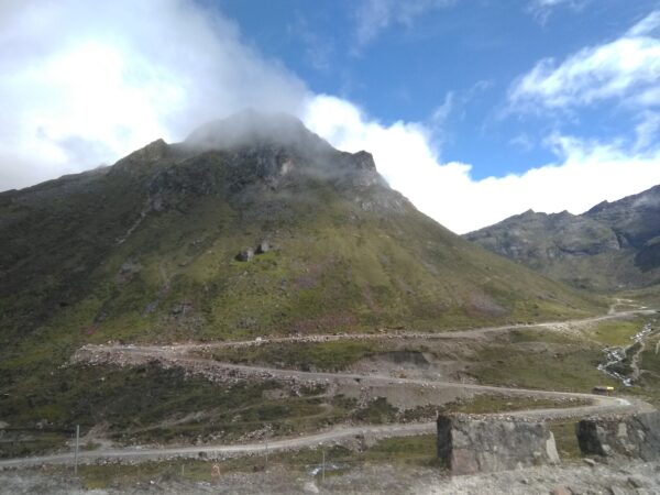
New Delhi: In a significant move, India has updated its official map for Arunachal Pradesh, formally marking out locations such as passes, lakes and settlements on the border with China, including a village that was occupied by Beijing in 1959 in the precursor to the 1962 war.The update to the official Survey of India map includes naming and locating the Longju village, which is currently under Chinese occupation but is claimed by India. The village and Chinese encroachments, which have intensified after the 2020 border clashes, around Longju have been a cause of tensions for several years.China has expanded its presence at Longju by establishing dual-use infrastructure and housing for troops. The village has been used in attempts to move troops into the Indian-controlled part of Arunachal. China has been undertaking largescale road and bridge construction in the area.While these locations were marked on military maps, govt has now put them on the Survey of India mapSeveral other locations have also been named, like the Thag La pass in Tawang that was overrun by Chinese troops in 1962 and memorials to fallen soldiers, including the Sher-e-Thapa and Jaswant Garh war memorials. Other passes that have been named include Dzo La, Riza La and Pukur La.While these locations were marked clearly on military maps, the government has now put them on the official Survey of India map. "Identifying them formally on the Survey of India map of Arunachal Pradesh is aimed at facilitating their accurate recognition and better awareness among the public at large," an official release said.RECOMMENDEDSTORIES FOR YOUThe move follows repeated Chinese renaming exercises for places in Arunachal. In at least two instances over the last year, China issued lists of renamed places, which India rejected as not altering the reality that Arunachal was an integral part of India.
India updates Arunachal Pradesh map, marks out China war flashpoints
India has officially updated its map for Arunachal Pradesh, formally marking border locations. The updated Survey of India map includes Longju village, currently under Chinese occupation. Several other passes and war memorials have also been officially named and located. This move follows repeated Chinese renaming exercises for places in Arunachal Pradesh. Identifying these locations formally aims for public recognition and better awareness.
300 words~1 min read