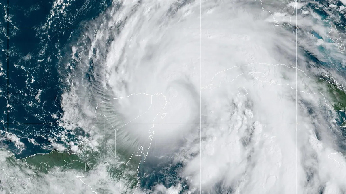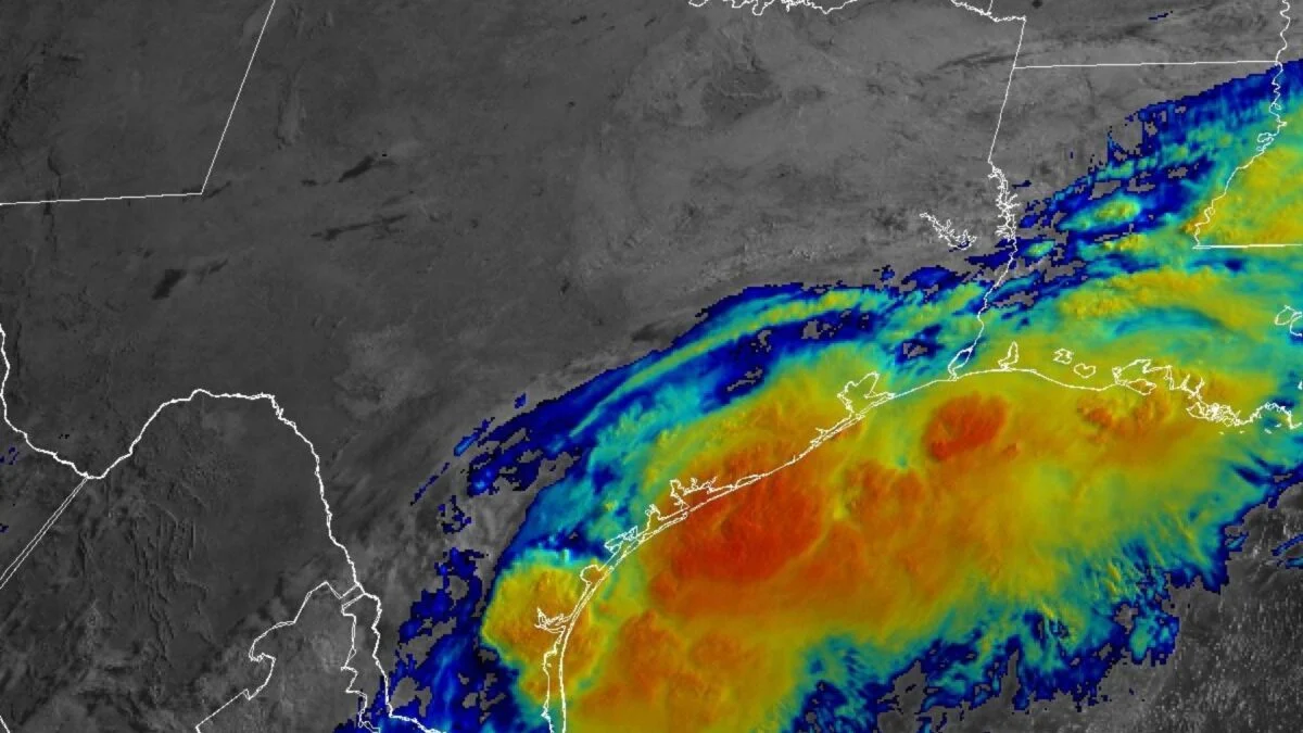
When a weak 45-mph tropical storm named Harvey moved through the Lesser Antilles Islands in August 2017 and then petered out in the central Caribbean Sea, no one could have suspected that the meager clump of clouds that remained would go on to become the second-costliest weather disaster in world history. But after crossing Mexico’s Yucatan Peninsula into the Gulf of Mexico, Harvey was rejuvenated, rapidly intensifying into a ferocious Category 4 hurricane that hit Texas just north of Corpus Christi.
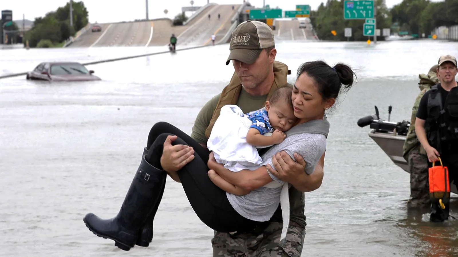
Harvey’s true mischief came after it stalled inland as a tropical storm for two days, dumping at least 40 inches of rain across a gigantic area from Houston to Port Arthur — larger than the entire state of Delaware. The storm total of 60.58 inches (1,534 mm) at Nederland, Texas, was the heaviest single amount ever recorded from a tropical cyclone or its remnants in the U.S. With damages of $164 billion (2026 USD) — mostly from flooding, Harvey became a historical catastrophe exceeded only by Hurricane Katrina of 2005.
When all of Harvey’s rainfall runoff rushed toward the ocean, it encountered the blocking influence of seawater being pushed inland by the persistent onshore winds of the tropical storm, creating a significant compound flood event — coastal flooding that resulted from a combination of storm surge and river runoff unable to drain into the ocean because of the storm surge waters piled up against the coast.