Istanbul Technical University's (ITU) Eurasia Institute of Earth Sciences and the Disaster and Emergency Management Authority (AFAD) have developed a project that will use an artificial intelligence-powered “Geohazard Monitoring and Risk Analytics Platform” to track geological risks that could affect critical infrastructure and superstructures across the country.
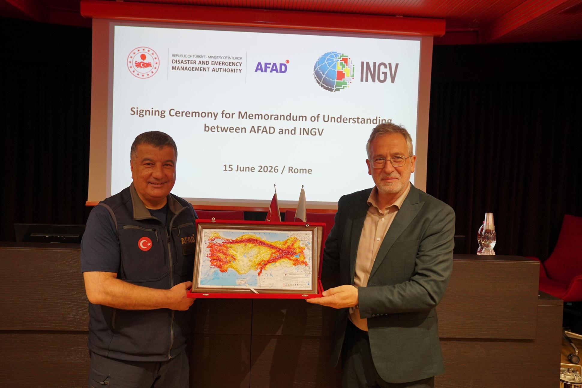
The system, whose pilot implementation has been launched under the "AFAD–ITU National Geohazard Monitoring and Risk Analytics Platform" protocol signed between the ITU Eurasia Institute of Earth Sciences and AFAD, aims to establish a sustainable framework for monitoring, assessing and mitigating geological hazards affecting critical infrastructure and superstructures nationwide.
Professor Tolga Görüm, director of the ITU Eurasia Institute of Earth Sciences, told Anadolu Agency (AA) that the project's main objective is to establish a Geohazard Monitoring and Risk Analytics Platform at the national level, particularly for critical infrastructure.
The platform was developed for both existing and planned infrastructure and superstructure projects in Türkiye by using remote sensing technologies such as LiDAR and InSAR, he said, “It also seeks to help identify existing risks and ensure that measures to reduce them can be determined and implemented well in advance.”