Türkiye updates active fault map after 13 years
Türkiye has updated its national active fault map for the first time in 13 years, incorporating extensive field surveys and academic research that significantly expand the country’s earthquake-related geological database.
Speaking at the launch of the Türkiye Active Fault Map 2026, General Director of Türkiye’s state geological research agency, the General Directorate of Mineral Research and Exploration (MTA), Vedat Yanık, said the revised map reflects more than a decade of new scientific findings and detailed geological investigations.
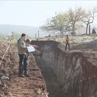
According to Yanık, the update project, initiated in 2022, revealed a substantial increase in the number of identified active faults across the country. While the 2013 edition documented 485 active faults, the new map records 700, based on newly collected data.
Situated within the seismically active Alp-Himalayan orogenic belt, Türkiye requires accurate and up-to-date tectonic information not only for scientific purposes but also for disaster risk reduction, infrastructure planning and sustainable development, Yanık said.