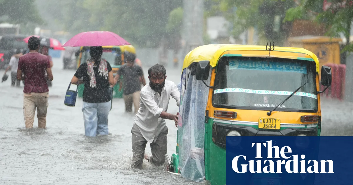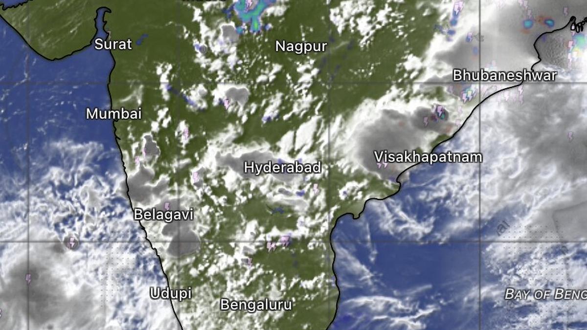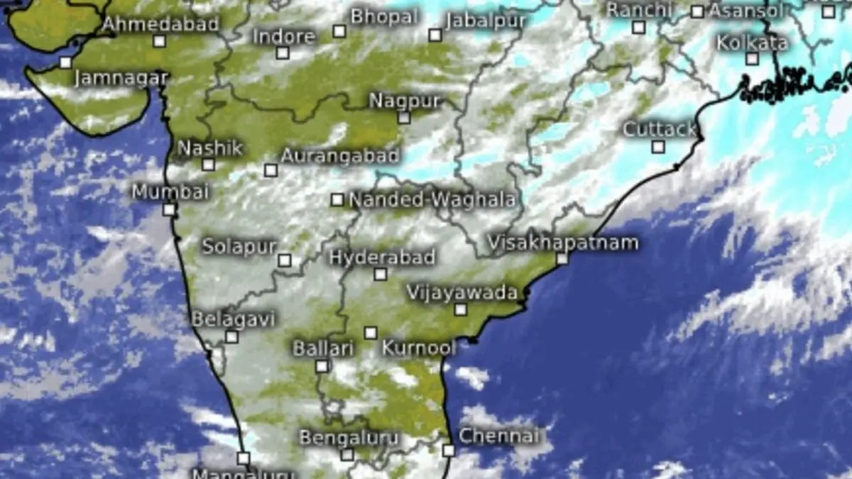
A wind-swept landscape and oceans revealed in satellite maps on Wednesday signalled the influence two Pacific storms are apparently exerting on the Indian monsoon.
| Photo Credit:
www.meteologix.com/in
A surge in monsoon winds, fuelled by powerful weather systems over the western Pacific, is set to keep parts of India under the grip of strong winds and heavy rain even as a rapidly strengthening El Niño continues to erode rainfall across central, western and southern India.Thunder squalls forecast India Meteorological Department (IMD) has warned of thunder squalls with wind speeds of 50-60 km/hr, gusting to 70 km/hr, over the Andaman and Nicobar Islands and adjoining south-east Bay of Bengal during next seven days. The vigorous wind regime will also sustain strong surface winds and frequent showers along stretches of the west coast and the interior peninsula.West Pacific storms Enhanced winds appear to be linked to a depression Kujira over the South China Sea near the Philippines and Category-3 typhoon Dolphin over the West Pacific. Both systems share the broader monsoon circulation extending into the Bay, effectively strengthening monsoon flows over the region.One casualty of these flows has been an upper-air cyclonic circulation over west-central Bay off the Andhra Pradesh coast, which has dissipated. However, a similar circulation over the south Tamil Nadu-Puducherry coast remains active. Weather experts note that two cyclonic circulations in such close proximity rarely coexist for long, even under normal atmospheric conditions.Cyclonic circulationsThe strengthened monsoon currents have also spawned fresh upper-air cyclonic circulations over north-east Bihar, central Assam, north-east Bangladesh, and to the south over South Interior Karnataka. Such circulations are capable of generating extensive clouding, thunderstorms and moderate to heavy rainfall, and snowfall over higher reaches when atmospheric conditions are favourable.El Niño apaceAgainst this active backdrop, the larger climate signal remains unfavourable. A rapidly evolving El Niño over the equatorial eastern Pacific continues to gather strength. Climate Prediction Centre of the US National Weather Service projects the event to strengthen through the end of the year, assigning a 97 per cent probability that it will persist into early spring (February-March) next year. Associated high-pressure pattern over the Indian region is suppressing cloud formation and steadily drying up monsoon rainfall across parts of the country.Rainfall scenarioThe contrasting influences are reflected in the rainfall outlook .Along the west coast, IMD has forecast isolated very heavy rainfall over Konkan and Goa on Wednesday and isolated heavy rainfall there on Thursday. Madhya Maharashtra is also likely to receive isolated very heavy rainfall on both Wednesday and Thursday. North-East IndiaHeavy to very heavy rainfall is expected over Assam and Meghalaya, with isolated extremely heavy falls on Wednesday. Arunachal Pradesh is likely to witness isolated very heavy rainfall on Wednesday and heavy rainfall on Thursday and again for three days from Sunday. Assam and Meghalaya, along with Nagaland, Manipur, Mizoram and Tripura, are likely to receive isolated heavy rainfall during the next six days.Southern India Over South India, isolated heavy rainfall is forecast over Tamil Nadu, Puducherry and Karaikal and Coastal Karnataka during next three days, Kerala and Mahe for four days, and Coastal Andhra Pradesh and Yanam on Saturday and Sunday.Strong surface winds are expected over Coastal Karnataka, Kerala and Mahe, North Interior Karnataka and South Interior Karnataka through Wednesday and Thursday, over Coastal Andhra Pradesh and Yanam for four days, and Telangana during the next seven days.North-West IndiaIn northern India, a western disturbance persists over Kashmir as an upper-air cyclonic circulation accompanied by a parent trough aloft. The trough promotes upper-level divergence, allowing air to rise, while the cyclonic circulation reinforces the upward motion by drawing air inward. Such a combination is typically better organised, longer lasting and more efficient in producing widespread precipitation than an isolated cyclonic circulation. Further strengthening the weather system are additional cyclonic circulations over north Haryana, West Uttar Pradesh and central South Uttar Pradesh.Very heavy rainAccordingly, IMD has forecast isolated very heavy rainfall over East Uttar Pradesh and Uttarakhand on Wednesday, West Uttar Pradesh on Wednesday and Thursday, and East Rajasthan on Friday and Saturday.Isolated heavy rainfall is also likely over Jammu, Kashmir and Ladakh on Wednesday and again for three days from Sunday; Himachal Pradesh during the next seven days; Uttarakhand for six days; Haryana, Chandigarh, Delhi and Punjab for the next two days; West Uttar Pradesh on Friday; East Uttar Pradesh on Thursday; West Rajasthan for three days from Friday; and East Rajasthan on Thursday and again for three days from Sunday.North-East drenchedDuring the 24 hours ending Wednesday morning, heavy to very heavy rainfall occurred over Assam and Meghalaya, while Arunachal Pradesh and isolated parts of East Uttar Pradesh recorded heavy rain. Significant rainfall totals included Cherrapunji (17 cm), Itanagar (10 cm), Tezpur (7 cm) and Sultanpur (7 cm).Meanwhile. the monsoon trough today (Wednesday) over the plains extended from Sri Ganganagar through Delhi, Lucknow, Daltonganj and Bankura before reaching Manipur. Unless the eastern end of the trough dips southward into the Bay, conditions will remain unfavourable for the formation of a low-pressure area capable of drawing moisture inland and reviving monsoon activity over rain-deficient regions. Published on August 5, 2026