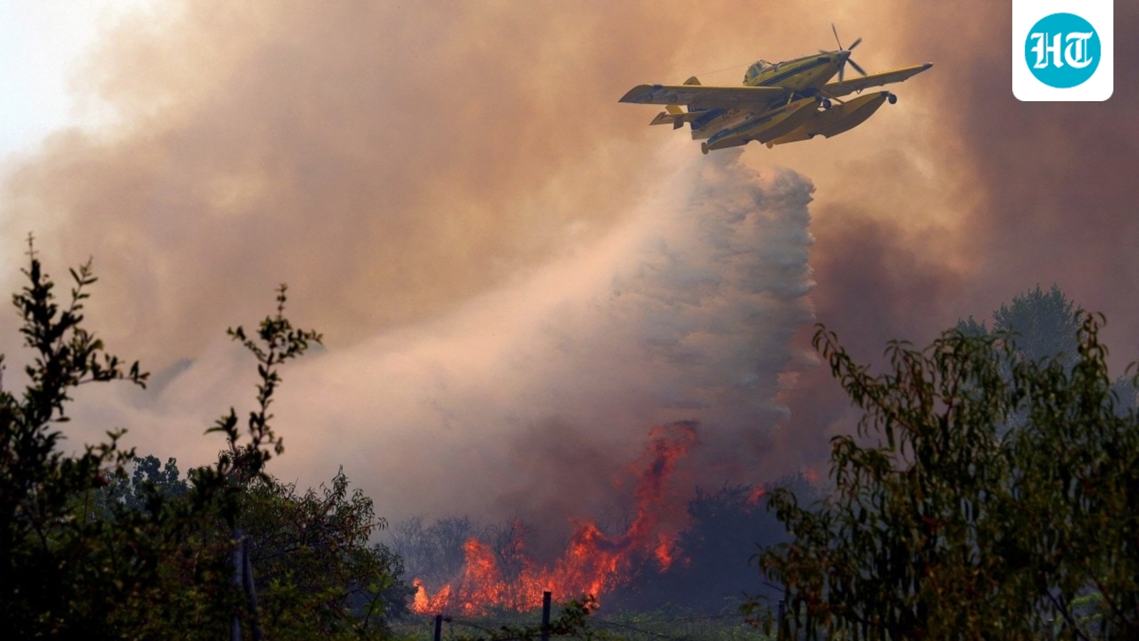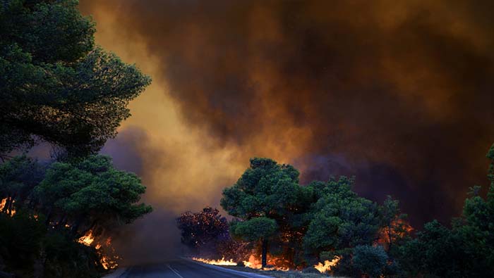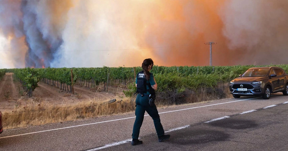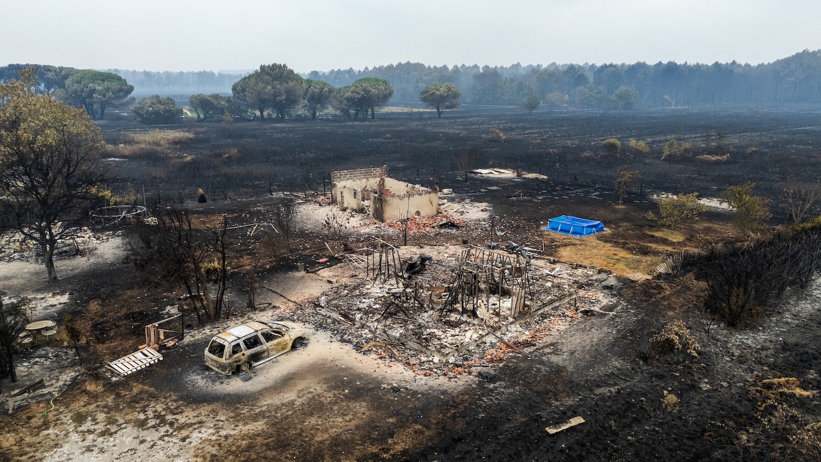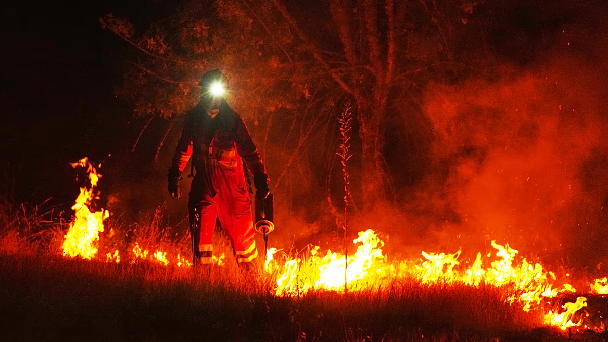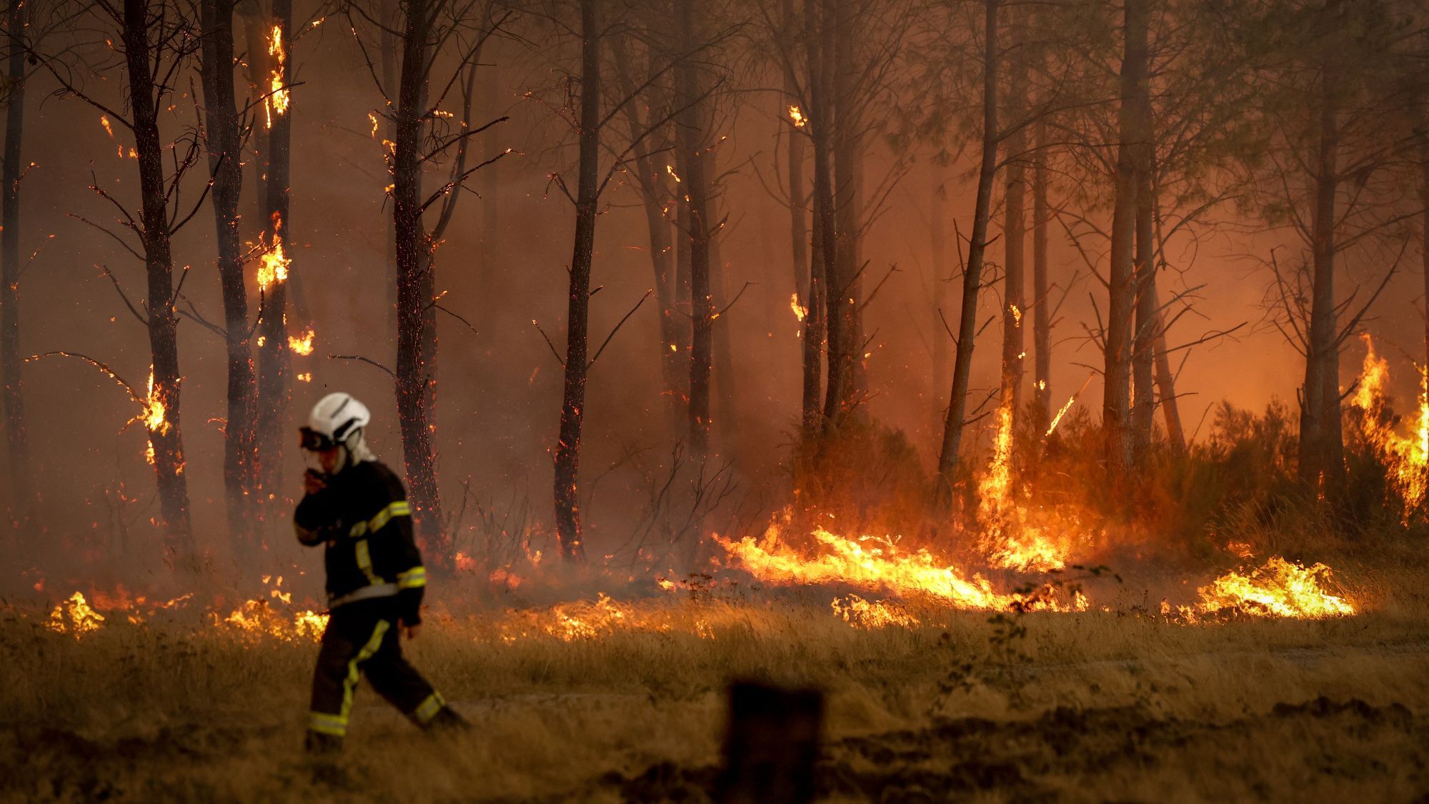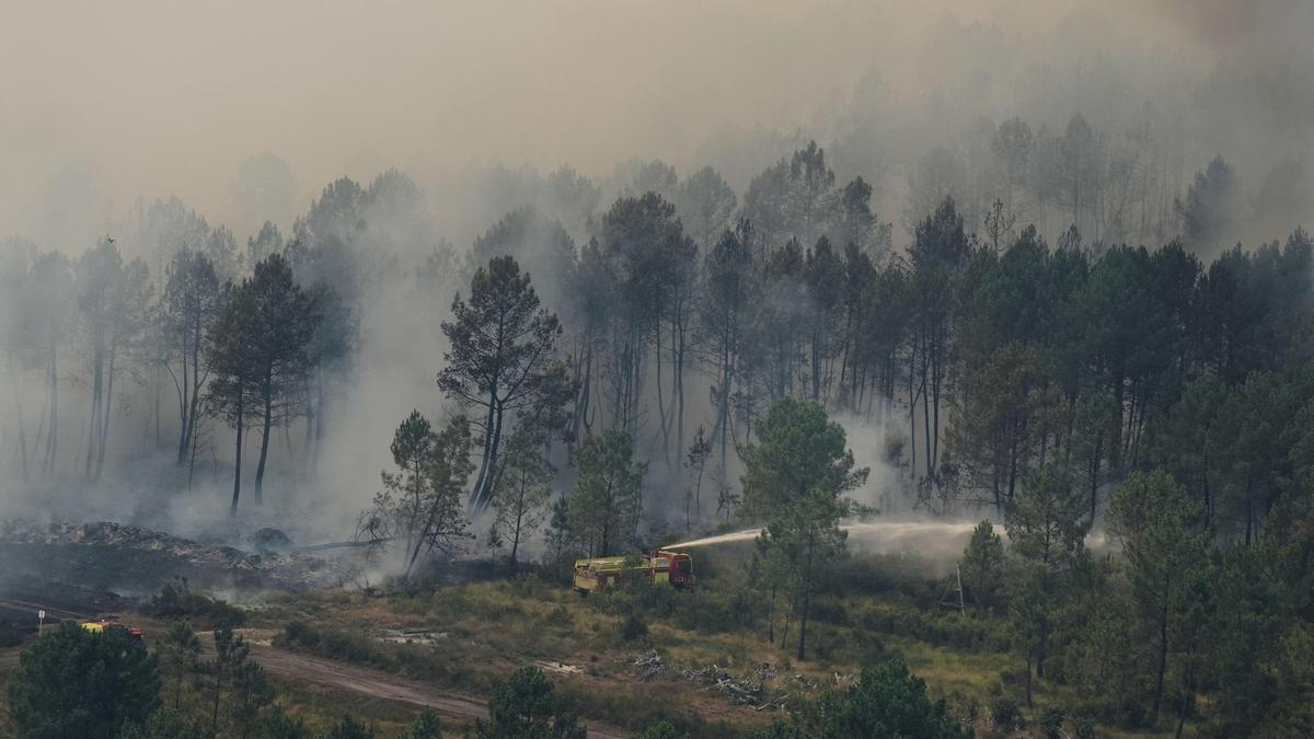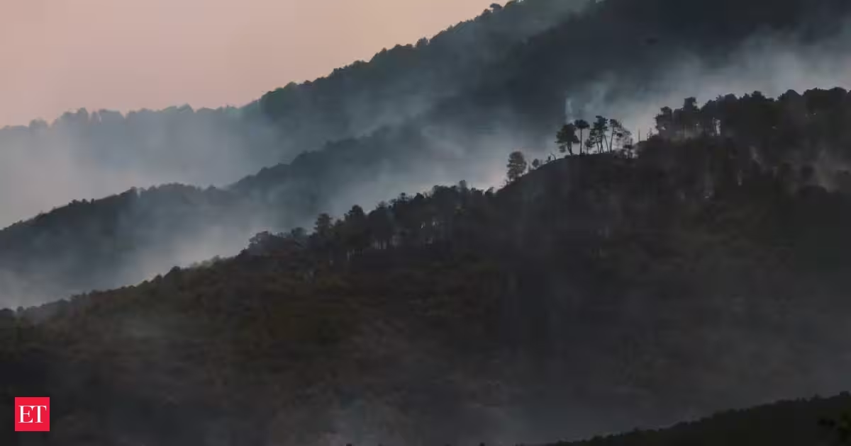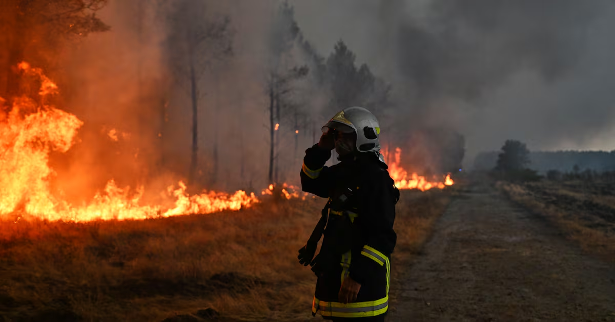
Wildfires occur across Europe each summer, but the fires that swept through Spain and France in July 2026 ranked among the most destructive either country had experienced in decades. Some of the worst outbreaks developed in southwestern France's Gironde Department and in Spain's Ávila and Madrid provinces during the middle of the month. The fires forced hundreds of thousands of people to evacuate and destroyed hundreds of homes.
Spanish officials reported that the fire in Ávila burned about 50,000 hectares (124,000 acres), making it the largest wildfire ever recorded in the country. It surpassed the 2025 fire that affected Larouco, Quiroga, and Oencia.
NASA satellites first detected signs of the Ávila blaze near Burgohondo on July 22 and July 23. By July 24, the fire had joined with blazes burning in nearby provinces. Together, they had scorched 77,000 hectares, an area roughly equal in size to New York City.
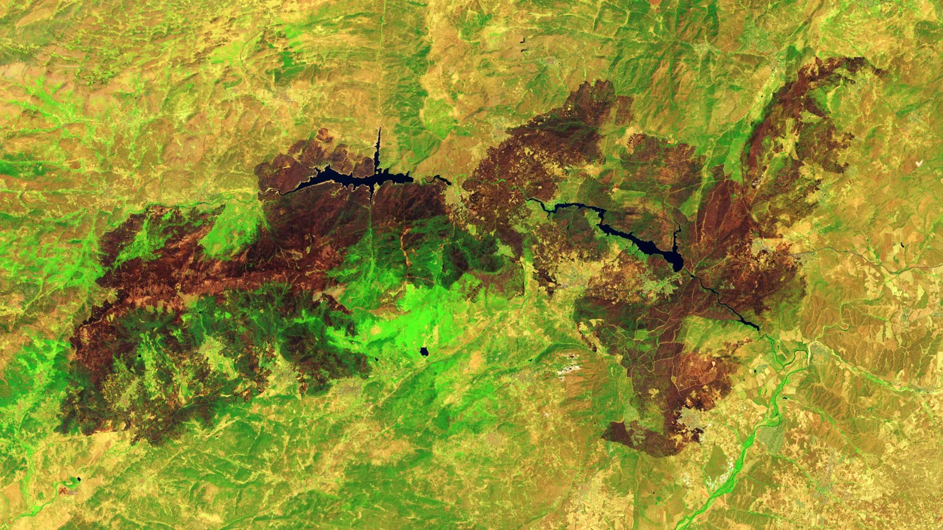
A Landsat 9 image taken on July 29, 2026, shows the extensive damage around Burgohondo. In the false-color view, healthy vegetation appears light green, while burned terrain appears brown. The two reservoirs near the center of the image were among the areas hit hardest.
According to news reports, flames destroyed homes, restaurants, campgrounds, marinas, and other facilities around the reservoirs.