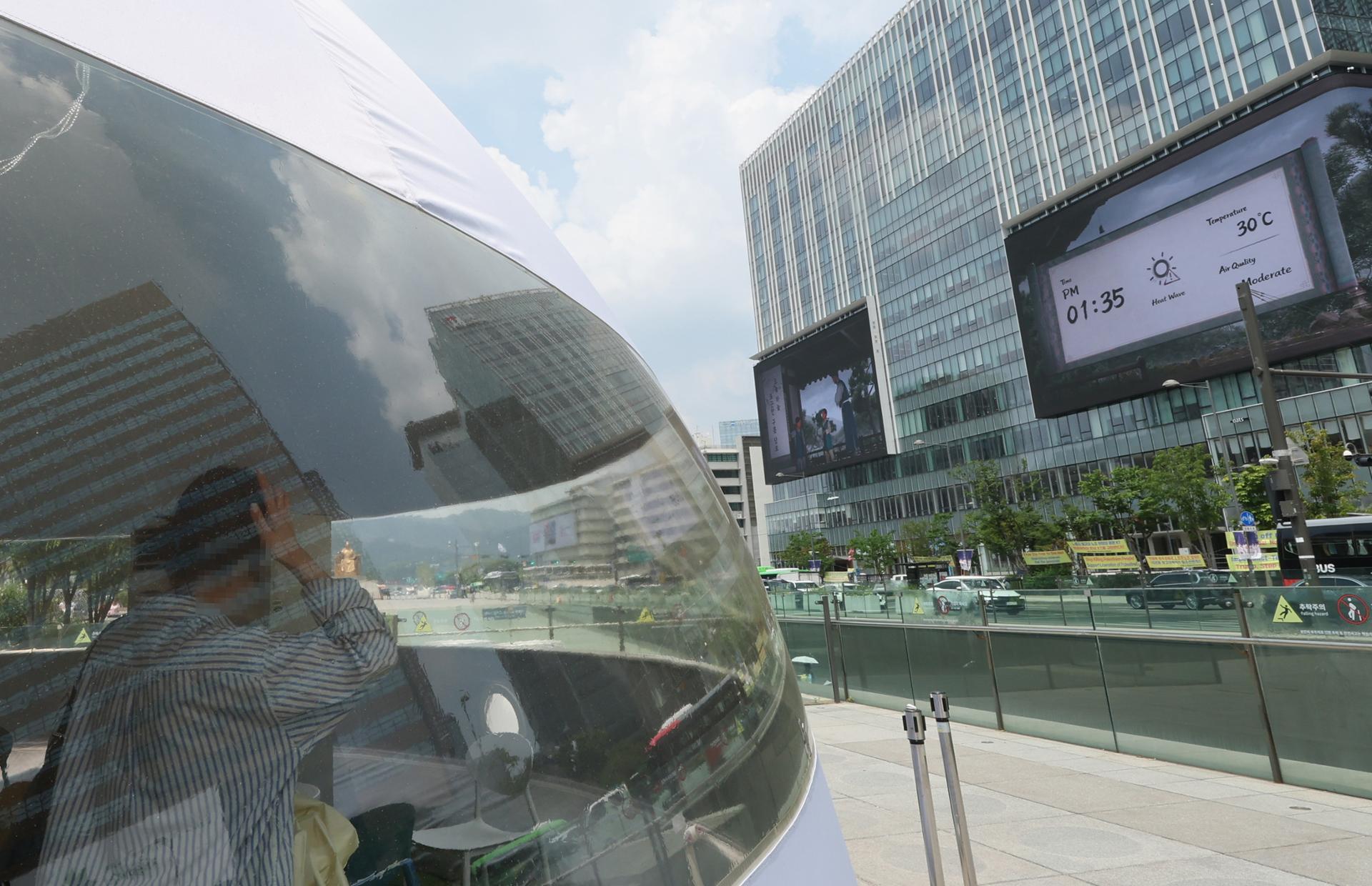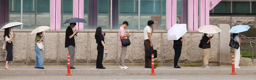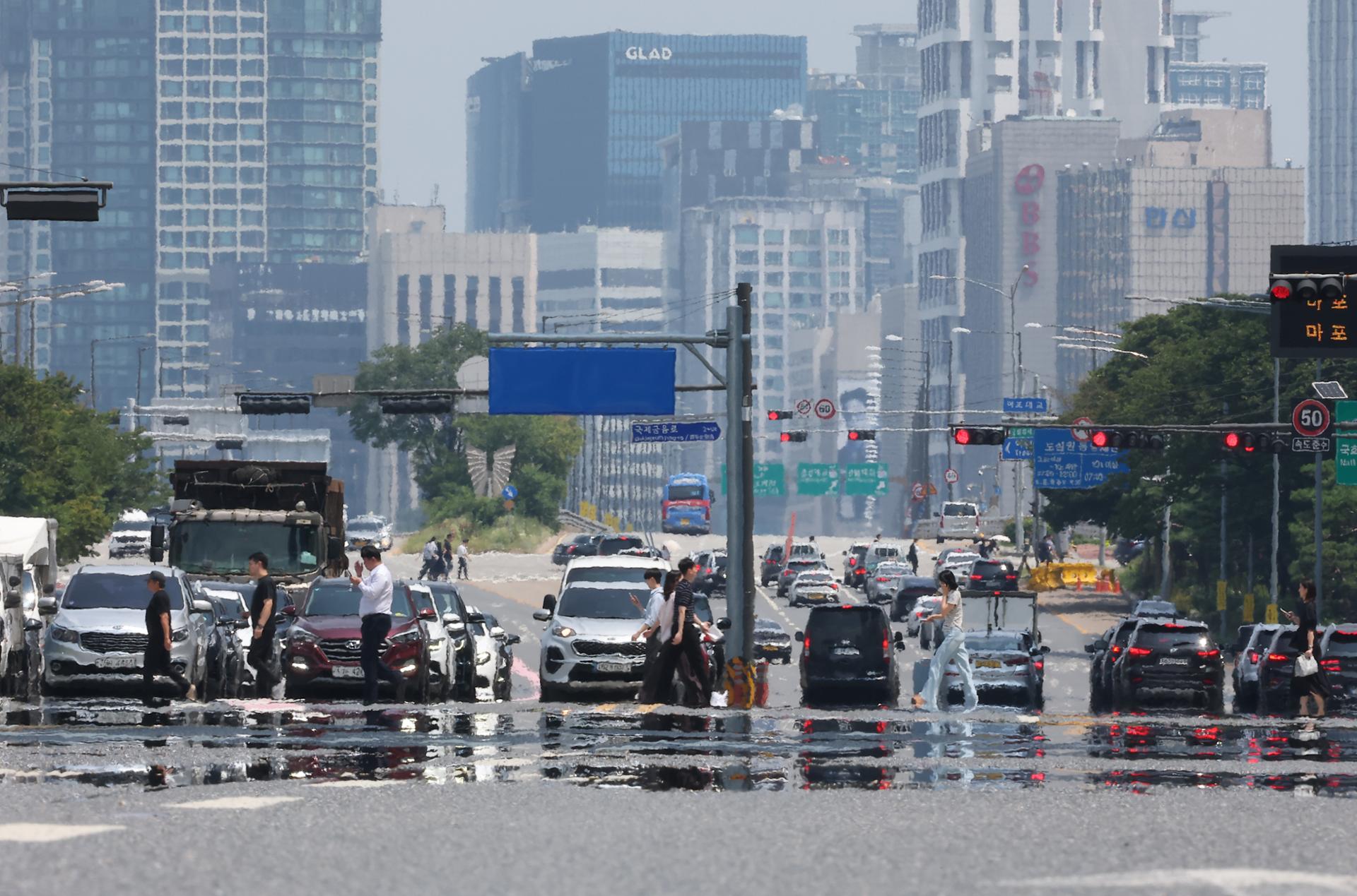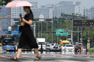
Developed by SNU student frustrated by summer commute, new shade-finding map app gains traction as Korea endures record-breaking heat Heat haze shimmers above a road in Seoul on Wednesday. (Yonhap) For many pedestrians amid the record-breaking heat wave, every walk now begins with one question: Where’s the shade?A map app that provides the answer is gaining traction online, particularly among students and workers commuting on foot or by public transportation, as temperatures soar toward 40 degrees Celsius.The app Geuneullo: Summer Routes for Walkers calculates the position of the sun and shadows cast by buildings and street trees at a given time, then recommends the shadiest walking route. On its map, users can see both the estimated walking time and what percentage of the route is shaded.The app also shows users which bus seats are likely to receive the least direct sunlight based on the vehicle's direction of travel and the sun's position, as well as which side of a subway train faces away from the sun. It suggests walking and running routes based on factors such as shade, distance and slope.Released on July 18, the app is currently available on Apple's app store, with an Android version still under review. As of Wednesday, it topped the Apple's free navigation app chart, surpassing Google Maps, Kakao Map and Naver Map. A map on the app Geuneullo: Summer Routes for Walkers shows the shadiest route from The Korea Herald's headquarters in Huam-dong, Yongsan-gu, Seoul, to Sookmyung Women's University Station on Seoul Subway Line No. 4, along with the percentage of the route covered by shade. (Geuneullo: Summer Routes for Walkers) Geuneullo: Summer Routes for Walkers ranks No. 1 on the Apple app store’s free navigation apps chart. (Apple) The developer behind the app is a 23-year-old Seoul National University student surnamed Yoo, who is double-majoring in mathematics education and venture management. According to news reports, he came up with the idea after struggling through his own daily commute in the summer heat.Yoo used data from OpenStreetMap, an open-source mapping platform, along with government data on buildings, trees along streets and public transportation to calculate the sun's position and direction based on a user's location and time of day."I hope the app can contribute to improving access to urban shade and creating a more pedestrian-friendly environment," Yoo told a local news outlet.
Too hot to walk? This app knows where the shade is
For many pedestrians amid the record-breaking heat wave, every walk now begins with one question: Where’s the shade? A map app that provides the answer is gaini
390 words~2 min read