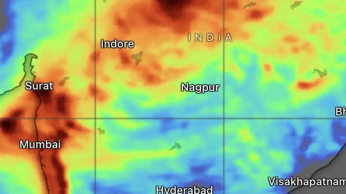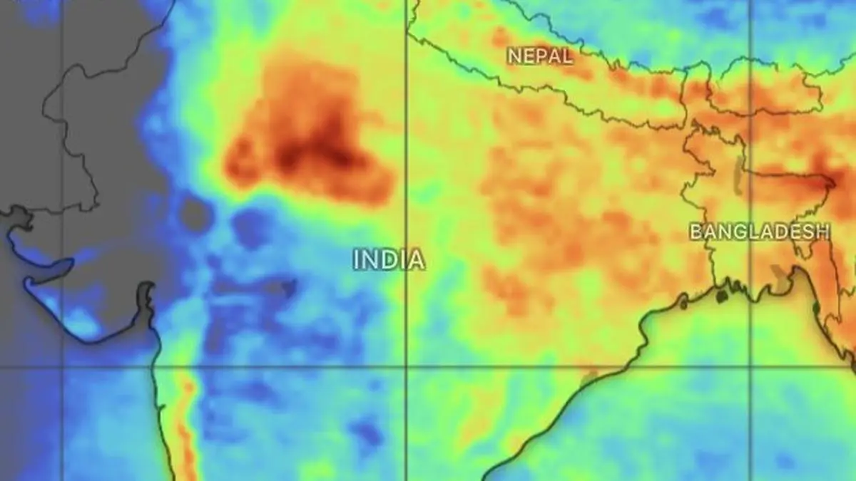
The European Centre for Medium-Range Weather Forecast sees moderate to heavy rain (in yellow and orange) concentrating over East and North-West India and North-West India over next five days.
| Photo Credit:
www.windy.com
Heavy to very heavy rainfall, with isolated spells of extremely heavy rain, will continue to pound flood-hit Assam and Meghalaya over the next two days, while the adjoining sub-Himalayan districts of West Bengal and Sikkim brace for intense showers today (Tuesday). With the monsoon now firmly focused over the eastern flanks, most other regions are set to witness a relative easing of rainfall. The shift also signals a weakening of the system after it unleashed some of the heaviest rains in recent memory across Central and West India. The moisture reservoir has been substantially depleted tracking the monsoon trough that swung away from the Bay of Bengal, repositioning itself entirely over land. Steers Moisture EastOn Tuesday morning, the monsoon trough, the crucial low-pressure corridor that channels monsoon moisture from the seas, extended from Anupgarh through Delhi, Lucknow, Daltonganj and Murshidabad across Rajasthan, West Uttar Pradesh and Jharkhand before stretching eastwards towards Manipur.Its present alignment will funnel moisture predominantly into East and North-East India. Accordingly, India Meteorological Department (IMD) has forecast fairly widespread to widespread rainfall accompanied by thunderstorms and lightning over Arunachal Pradesh for one day, Assam and Meghalaya for the three days, and Nagaland, Manipur, Mizoram and Tripura for six days.Western disturbance In North-West India, another active monsoon zone, a fresh western disturbance in the form of an upper-air trough has moved into central Pakistan. Cyclonic circulations continue to persist over north-east Rajasthan, south Uttar Pradesh, north-west Bihar, north-east Assam and the hill districts of West Bengal.Under their influence, the IMD has forecast isolated heavy rainfall over Jammu-Kashmir-Ladakh and West Uttar Pradesh for next three days; Himachal Pradesh and Uttarakhand for six days; Haryana, Chandigarh, Delhi and Punjab today (Tuesday); East Uttar Pradesh for four days; West Rajasthan for three days from Monday; and East Rajasthan for four days from Sunday.East,Central IndiaThe North-East will continue to bear the brunt of the monsoon. Isolated very heavy rainfall is likely over Arunachal Pradesh, Nagaland, Manipur, Mizoram and Tripura today (Tuesday), while isolated heavy rainfall is forecast over Arunachal Pradesh for three days from Wednesday, Assam and Meghalaya for six days, and Nagaland, Manipur, Mizoram and Tripura for five days .In Central India, isolated heavy rainfall is likely over East and West Madhya Pradesh for three days from Sunday, while Chhattisgarh is expected to receive heavy rain for six days beginning today (Tuesday).West coast rainsAlong the west coast, fairly widespread to widespread rainfall is expected over Konkan and Goa for the next six days. Madhya Maharashtra, east Gujarat, Marathwada, and Saurashtra and Kutch are also likely to receive isolated to scattered showers during the period. The 12 hours ending Tuesday morning saw heavy to very heavy rainfall over Coastal Karnataka, while it was heavy over Punjab, Assam, Meghalaya, West Bengal, Odisha, and Coastal Andhra Pradesh and Yanam. Published on August 4, 2026