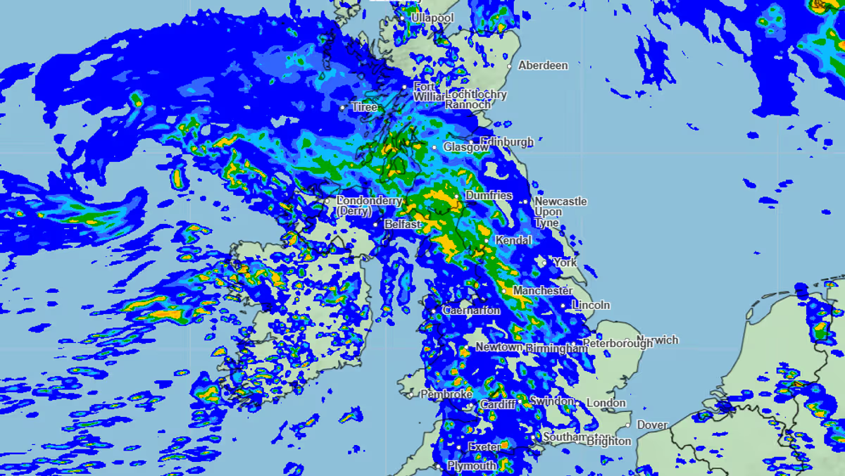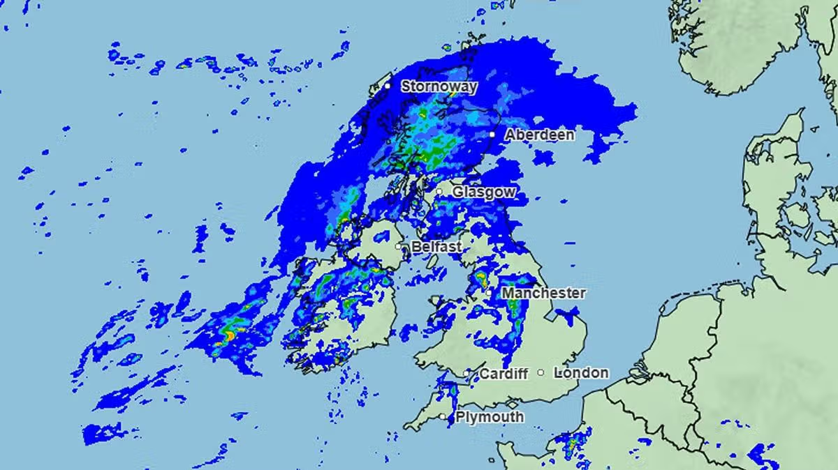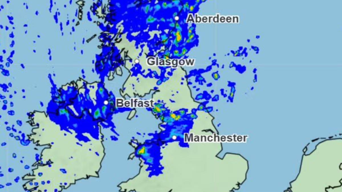
According to the Met Office, heavy rain will lash down across multiple areas of the UK on Wednesday - and it will be stormy in parts, including Aberdeenshire and Northumberland15:08, 03 Aug 2026Updated 15:09, 03 Aug 2026Downpours are set to lash across large parts of the UK on Wednesday, according to Met Office forecasters.Weather maps issued by the service show the band of low pressure will move eastwards throughout the day, and showers will even turn stormy in some parts.Temperatures peaked at 29.6C in Wisley, Surrey, on Sunday, during a weekend which was pleasant and dry for most regions. However, this week will be unsettled, and a weather warning for storms has already been issued for Northern Ireland for Tuesday.But, even after that, it will be wet and miserable across the country as the band of low pressure from the west will linger. According to the maps, most showers will be isolated and sporadic but the heaviest of the rain is anticipated across the Northwest of England, and western parts of Scotland.Downpours will be strongest - and most frequent - in the evening. Thunderstorms could then be likely, particularly across Aberdeenshire, Dumfries and Galloway, and Northumberland, according to forecasters at Metdesk.But showers are expected as far south as Devon throughout Wednesday night too. With these, temperatures will fall to between 12C and 23C across the UK, coldest in northern regions. Thursday looks unsettled too, with rain expected across West Yorkshire and East Yorkshire, according to the Express.In its five-day forecast for the UK, the Met Office is predicting heavy rainfall as early as Tuesday, with the possibility of thunderstorms. The weather service is then anticipating further patchy conditions, particularly across the north, from Wednesday through to Friday.Full list of UK areas forecast heavy rain on WednesdayPortsmouthSouthamptonManchesterLiverpoolLeedsPrestonKendalRhylColwyn BaySt AsaphLlandudnoWrexhamDundeeAberdeenJedburghBiggarScottish HighlandsBurnleyLancasterSheffieldRiponWhitbyNewtownEdinburghGlasgowExeterTauntonPlymouthMet Office 5-day forecast for the UKTodayLargely dry in the south today with sunny spells and feeling very hot. Cloudier further north and west with outbreaks of rain at times, particularly across Scotland.TonightA few isolated thunderstorms are possible in southern England this evening. Otherwise, largely dry with a warm night.Cloudy elsewhere with outbreaks of rain and a risk of thunder.TuesdayOutbreaks of heavy rain in the north today with a risk of thunder. Scattered showers in the south with the odd thunderstorm.Vary warm and humid. Windy in the north.Article continues belowOutlook for Wednesday to FridayRather unsettled in the north over the next few days with rain or showers. Some showers in the south at first, but turning drier from Thursday.
Met Office names 27 areas to face heavy rain on Wednesday - see full list
According to the Met Office, heavy rain will lash down across multiple areas of the UK on Wednesday - and it will be stormy in parts, including Aberdeenshire and Northumberland
417 words~2 min read