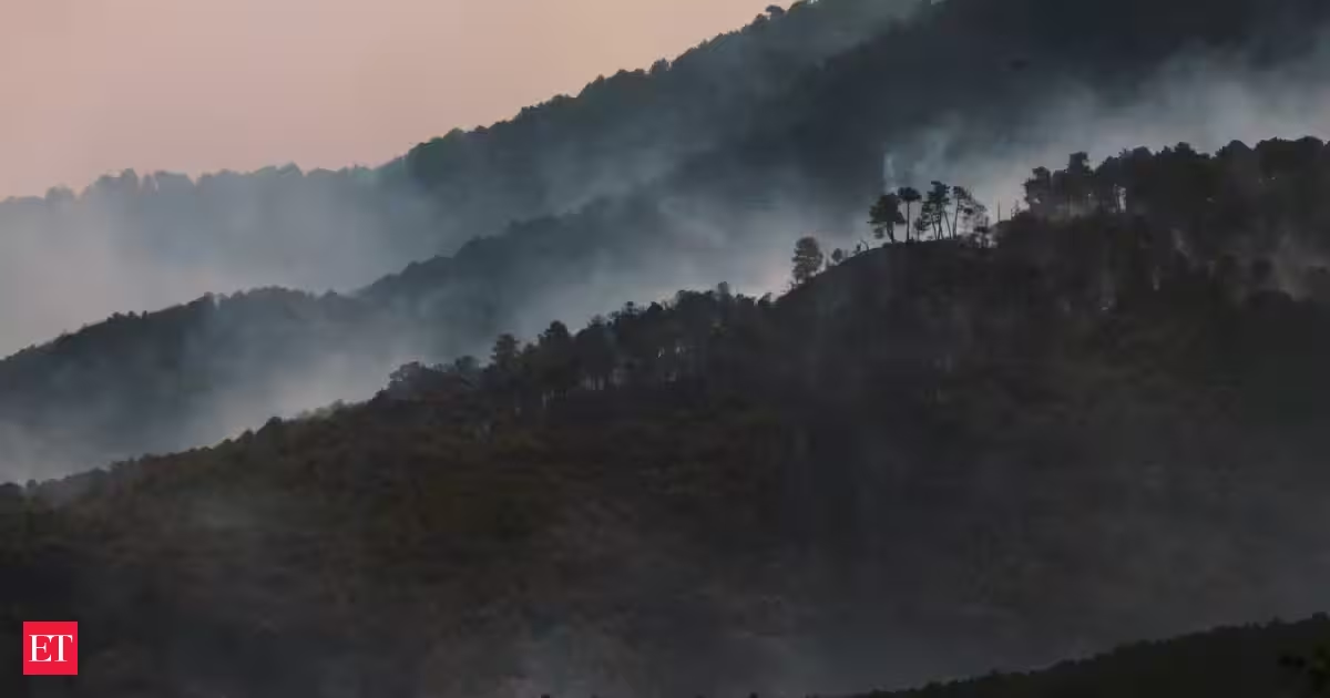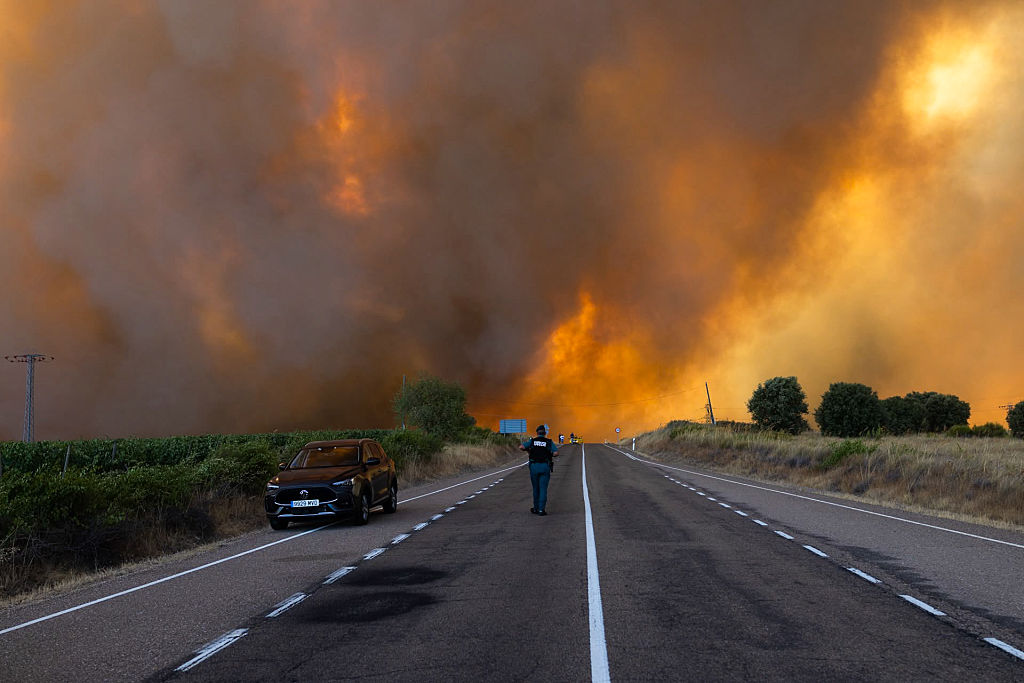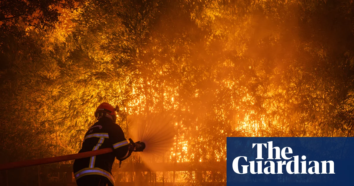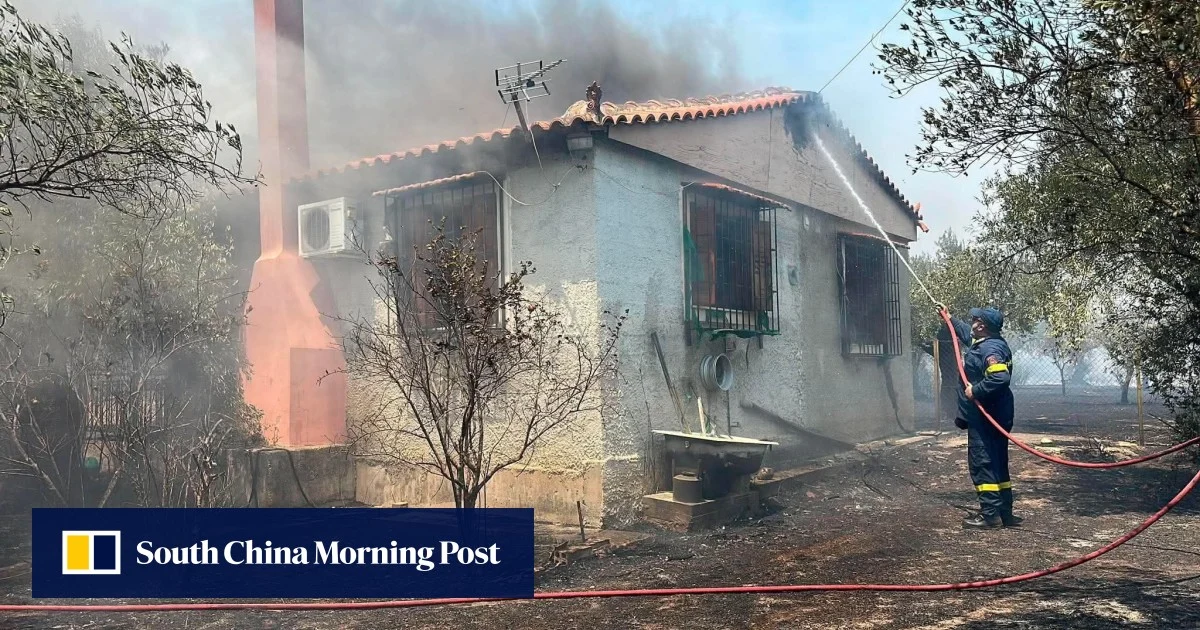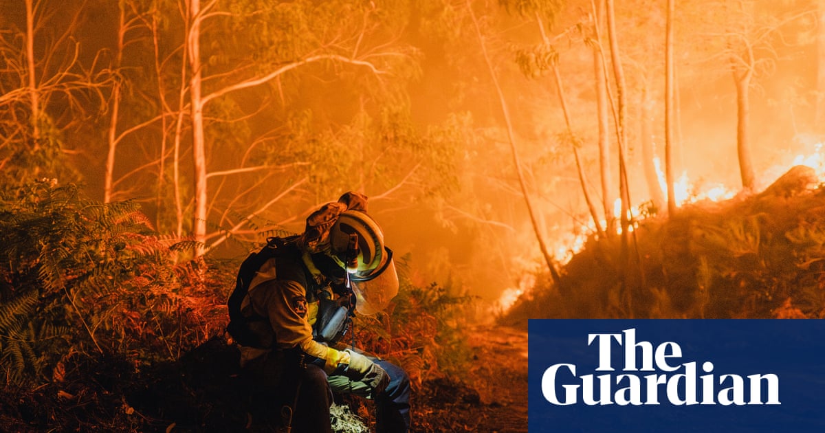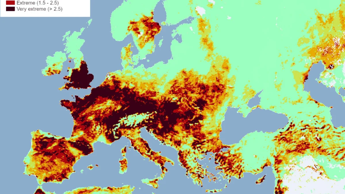
It's been a fraught summer in terms of extreme weather events. Heatwaves have set new records. Canada has burnt, Europe is currently on fire. If you're anything like us, you're likely already fatigued and anxious from the barrage of bad news, so we're not going to go on about it.But one important graphic to share has come out of the European Commission Joint Research Centre (JRC).As bad as things have been, the coming few days (from 29 July through to 2 August) may be among the worst for fire risk.Median Fire Weather Index (FWI) anomaly map. Anomalies are computed as a standard deviation from the 30-year historical mean. (© EU, 2026. Licensed under CC BY 4.0. Source: EU Forest Fires Information System (EFFIS), Copernicus Emergency Management Service)"Very extreme conditions dominate a large area of western and central Europe, with the heaviest concentration across France and the Alpine arc extending into northern Italy, along with the British Isles and Ireland," the JRC explains."Extreme conditions surround these areas, covering the wider Iberian Peninsula, the Balkans, and parts of North Africa. Very high danger stretches across southern Scandinavia, parts of eastern Europe, and further pockets in North Africa. High to moderate danger covers scattered patches of eastern Europe and Türkiye."Already, the smoke from these wildfire has had a massive impact. Below, this NASA visualization shows the spread of the fires and the associated smoke so far.
Concerning Map Suggests The Worst May Be Yet to Come For Devastating European Fires
It's been a fraught summer in terms of extreme weather events.
416 words~2 min read