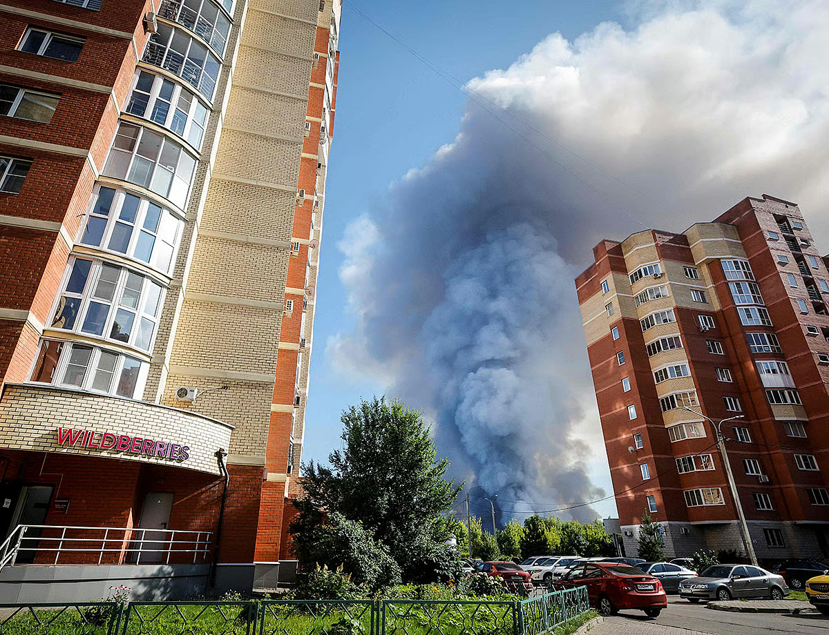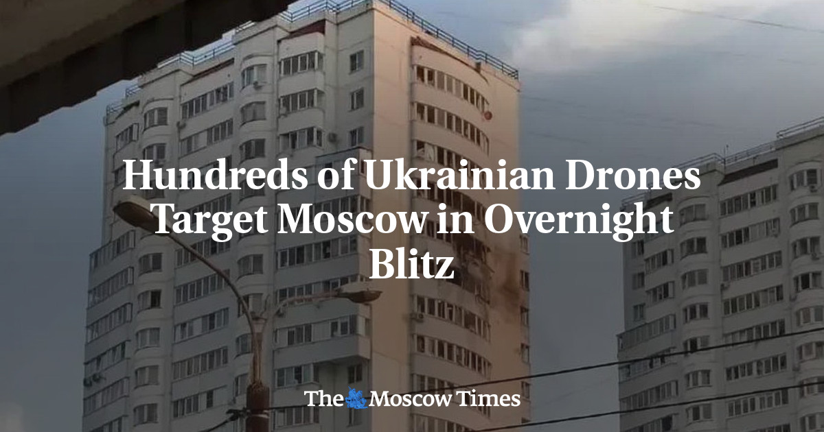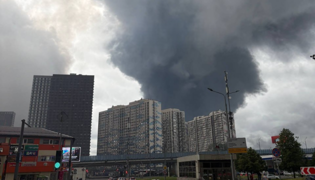
Authorities in Russia’s Moscow region have begun publishing official maps showing the locations of bomb shelters as concerns grow over potential long-range Ukrainian strikes. On July 30, officials in the Lyubertsy district released an interactive map identifying hundreds of designated shelters across Lyubertsy, Dzerzhinsky, Oktyabrsky, and surrounding towns.JOIN US ON TELEGRAMFollow our coverage of the war on the @Kyivpost_official. The registry includes apartment building basements, underground parking garages, post offices, and other reinforced underground facilities intended to protect civilians during emergencies. Interactive map identifying hundreds of designated shelters across Lyubertsy, Dzerzhinsky, Oktyabrsky, and surrounding towns. (Yandex Maps) The neighboring Podolsk district published a similar map listing all active “temporary shelter points,” complete with details on each site’s capacity and floor space. Residents were advised to bring only essential items, including identification documents, medication, and a phone with a charger. Comparable shelter information had previously appeared on the website of the Odintsovo district administration. The publication of shelter maps also follows widespread criticism after Ukraine’s largest drone attack on Moscow in mid-June. Residents across the capital and surrounding region complained they received no warning before the attack.
Moscow Region Publishes Bomb Shelter Maps as Long-Range Strike Fears Grow
The publication of shelter maps also follows widespread criticism after Ukraine’s largest drone attack on Moscow in mid-June.
552 words~3 min read