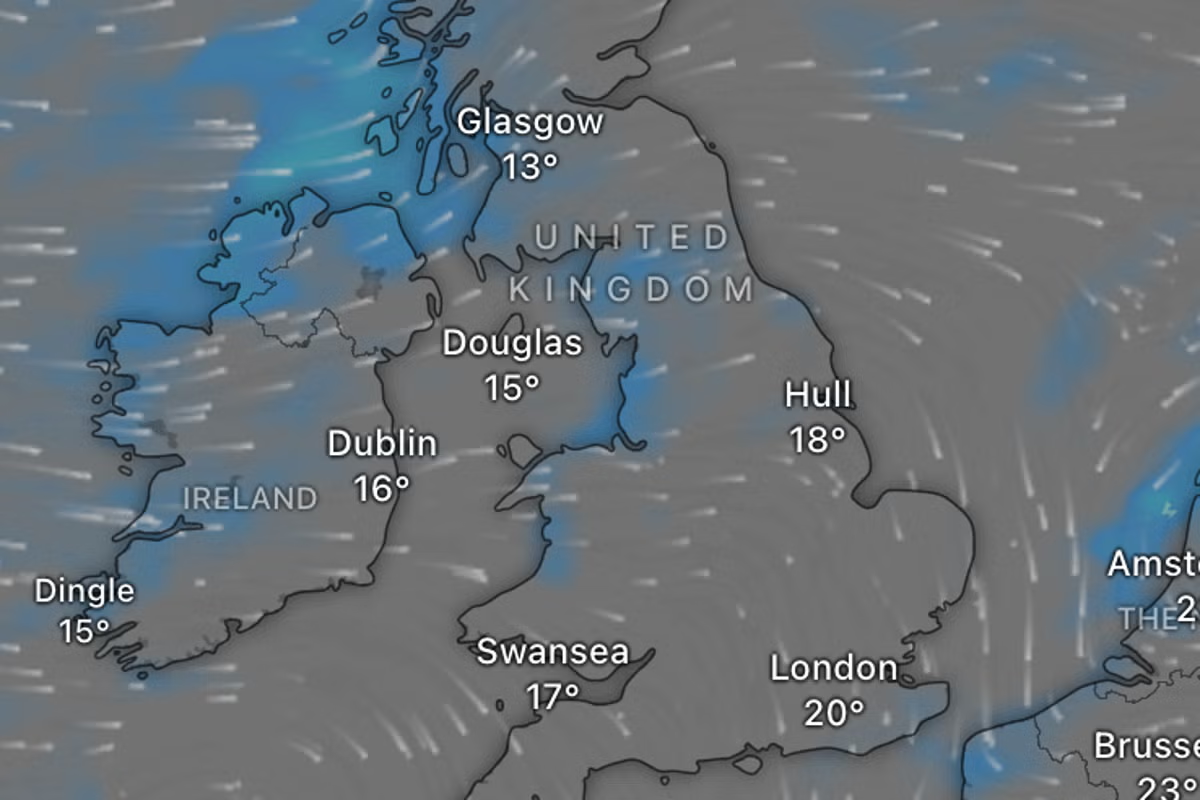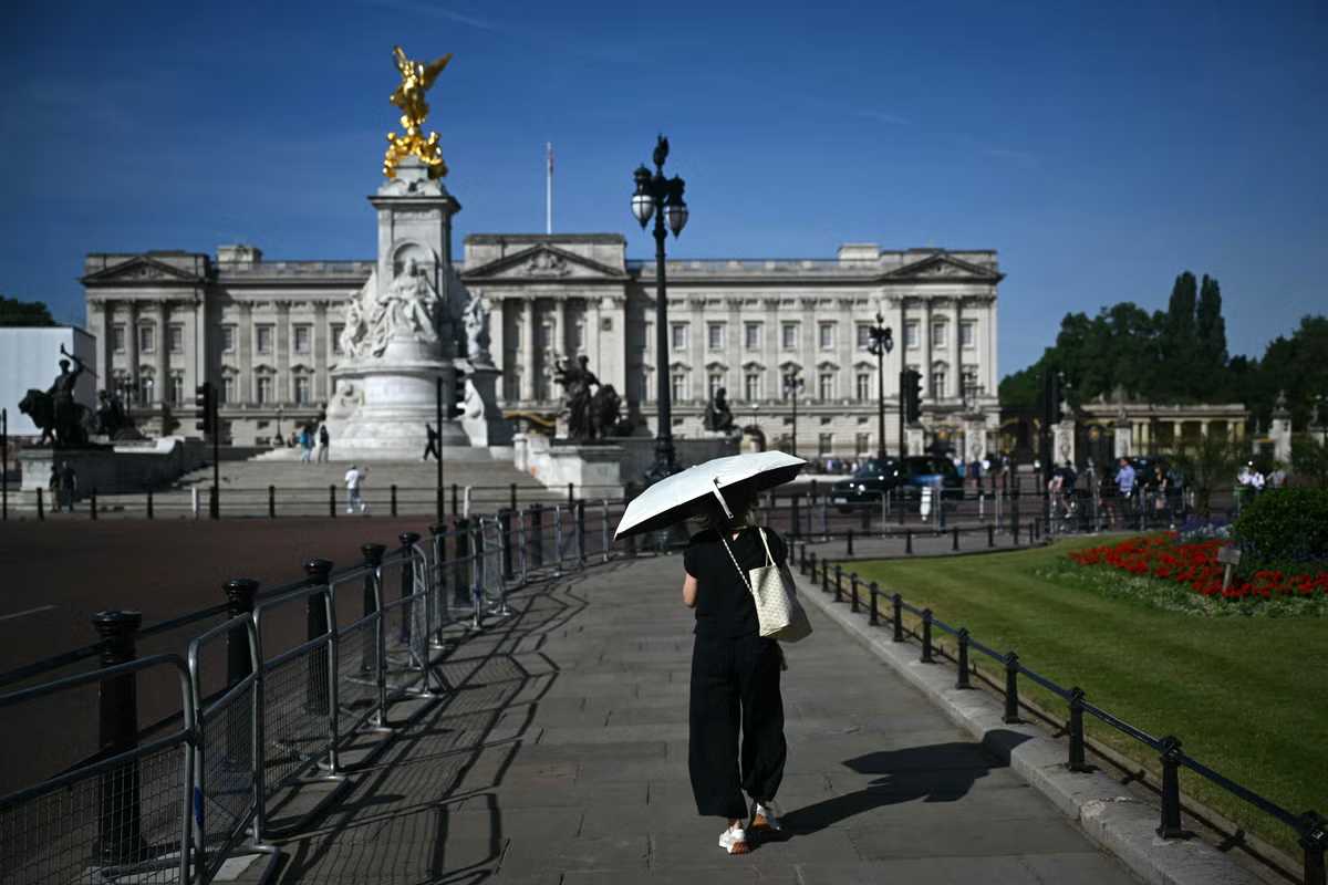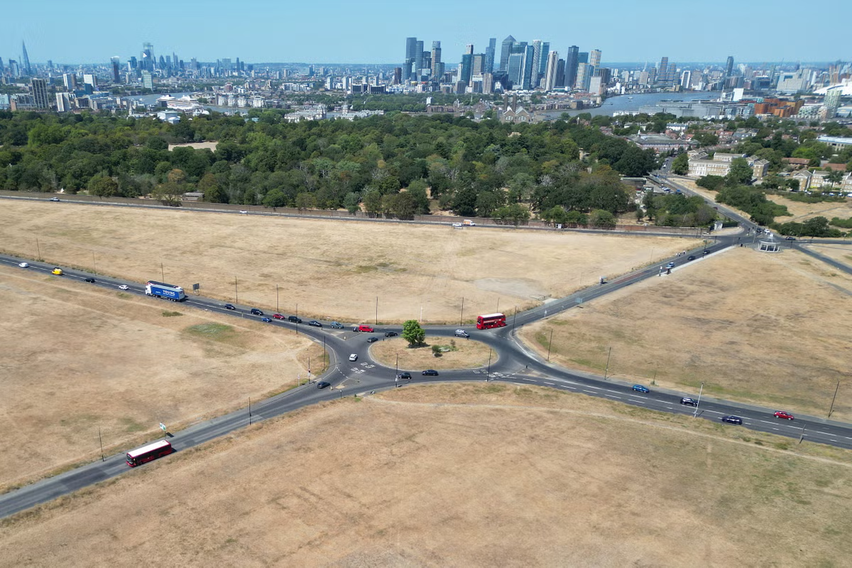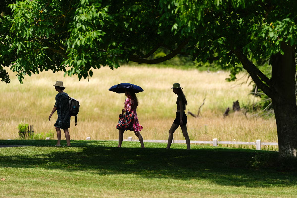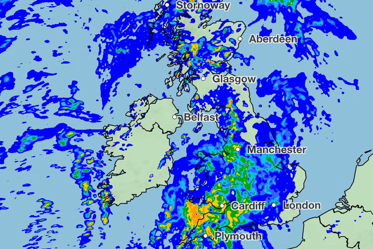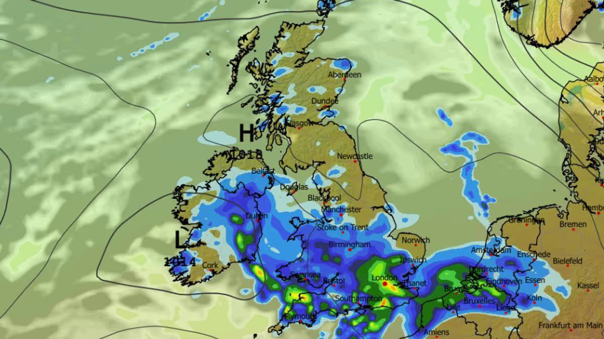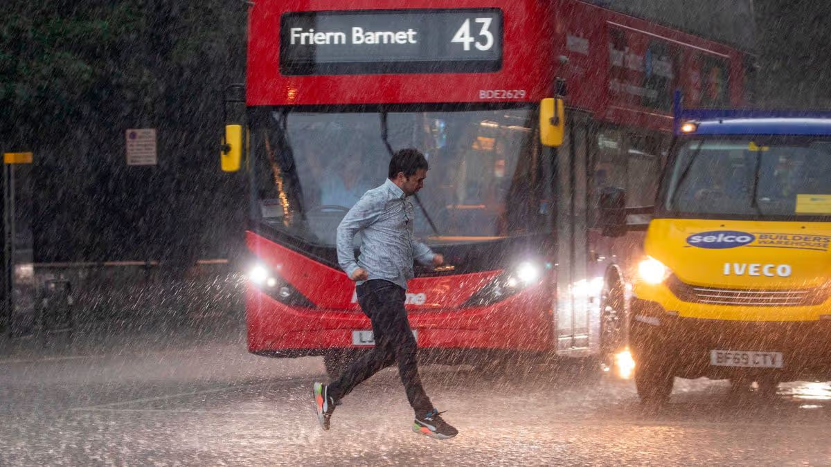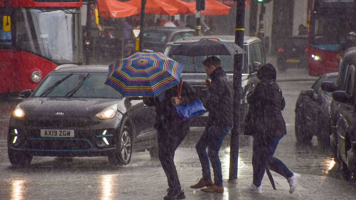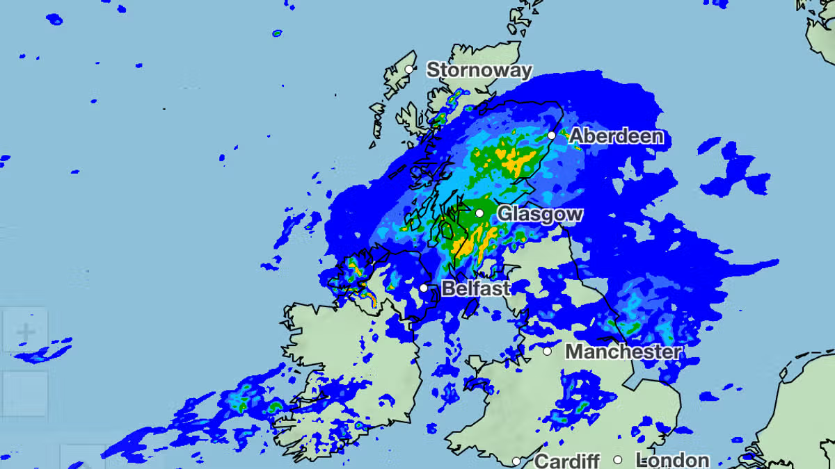
The week after the mercury hit the mid-30s for some, and drought was declared for millions, will be extremely wet as the Met Office warns 'heavy rain looks likely'04:24, 31 Jul 2026Updated 04:25, 31 Jul 2026Britain’s fourth heatwave of the summer is set to come to a miserable end as forecasters predict it will rain for five days straight.This week saw temperatures hit the mid-30s in the south east and half of England declared a drought zone by the government. But the start of August will be wet for many, with torrential rain predicted for one of the UK’s holiday hotspots.Another forecast, from the BBC, shows Scotland, Northern Ireland, Wales, north west England, north east England, Yorkshire and the Humber, and the Midlands will see rain on Monday.On Tuesday, the BBC map then suggests the south west of England, south east and London, and East Anglia will also see some precipitation, taking the total number of regions predicted to have downpours up to 10.The Met Office’s long range forecast for Tuesday, August 4, until Thursday, August 13, said: “A generally rather changeable period looks likely, with many places likely to see some much needed rain or showers at times but also some more sunshine.“Initially, some heavy rain looks likely across the northeast, with some showers elsewhere. After a drier, brighter few days, further unsettled conditions may develop for a while, these perhaps more likely towards more southern parts of the UK.“Thereafter, further spells of dry, warm, sunny weather and cooler, wetter and breezier weather look likely as we head towards mid-August.”Met Office weather maps have been released covering the period until Tuesday evening. They show rain first hits the UK in Northern Ireland and Wales, late on Sunday evening (August 2).From there, a band of rain spreads north-eastwards towards the Midlands and north of England and Scotland as Monday progresses.The heaviest rain on Monday (August 3) will be seen in the Scottish borders, as 16-32mm of rain is predicted to fall near Kendoon Loch. Heavy rain is also expected in Glasgow.Tuesday will be even wetter. The south-east of England and London will see some much needed rain in the early hours, but there will be torrential downpours across holiday hotspots Devon and Cornwall.More than 32mm of rain is forecast to hit the south-west early on Tuesday morning, with notable seaside towns St Ives, Newquay, and Bude bearing the brunt of the precipitation. Dartmoor will also see similar downpours.The BBC Weather forecast then predicts rain will continue to hit the country for four more days, including London. It’s expected to be particularly wet in Scotland and Northern Ireland.Rain will be a welcome relief for millions of people living in drought conditions. Half of England is now a drought zone, with seven regions named as suffering ‘flash drought’ on Wednesday (July 29) as Brits only saw 7 percent of the typical rainfall for July.They are East Anglia; Hertfordshire and the whole of London; Thames Valley; Hampshire & the Isle of Wight; Devon & Cornwall; West Midlands; and Wessex (covering Dorset, Somerset, Wiltshire, and south Gloucestershire).Another six English regions are now in ‘prolonged dry weather’, the stage before drought. They are Kent & East Sussex; Cumbria & Lancashire; Greater Manchester, Merseyside & Cheshire; East Midlands; Lincolnshire & Northamptonshire; and the rest of Solent & the South Downs.Article continues belowIt means only Yorkshire and the north-east are the areas not expected to dry up in England.
Heatwave to end with 5 days of rain as weather maps show 10 regions drenched
The week after the mercury hit the mid-30s for some, and drought was declared for millions, will be extremely wet as the Met Office warns 'heavy rain looks likely'
572 words~3 min read