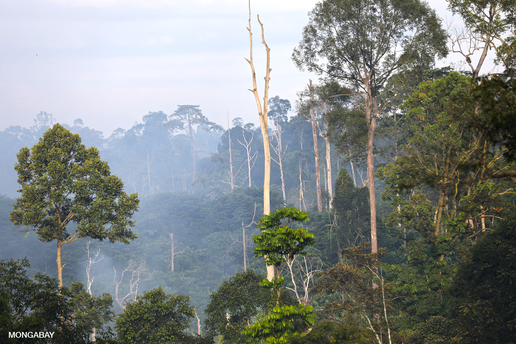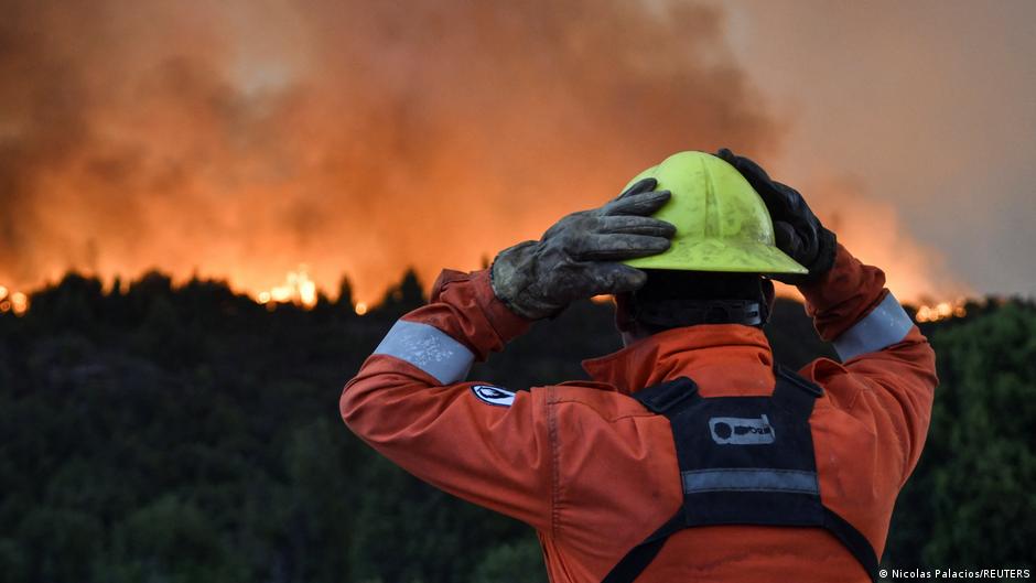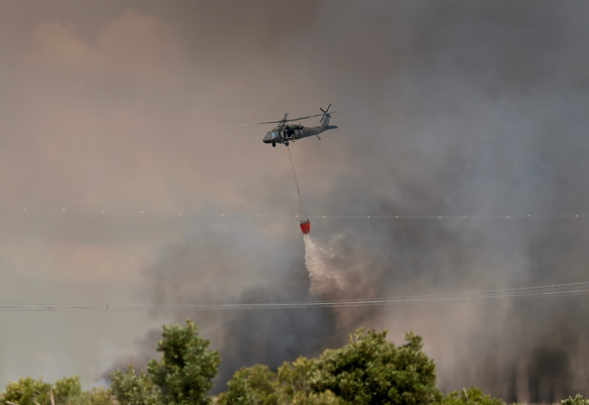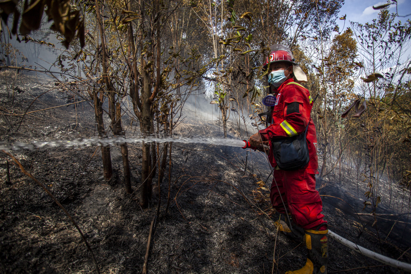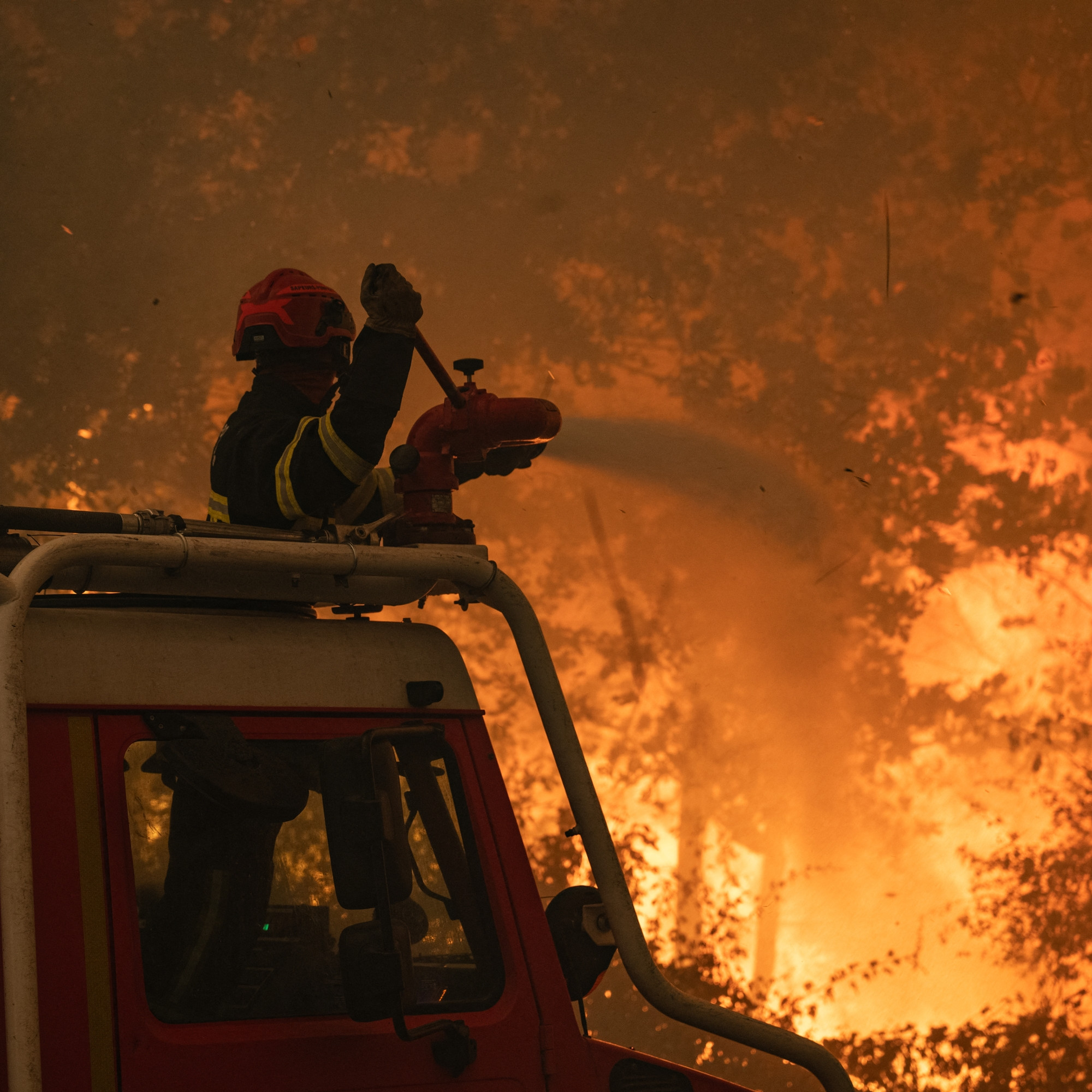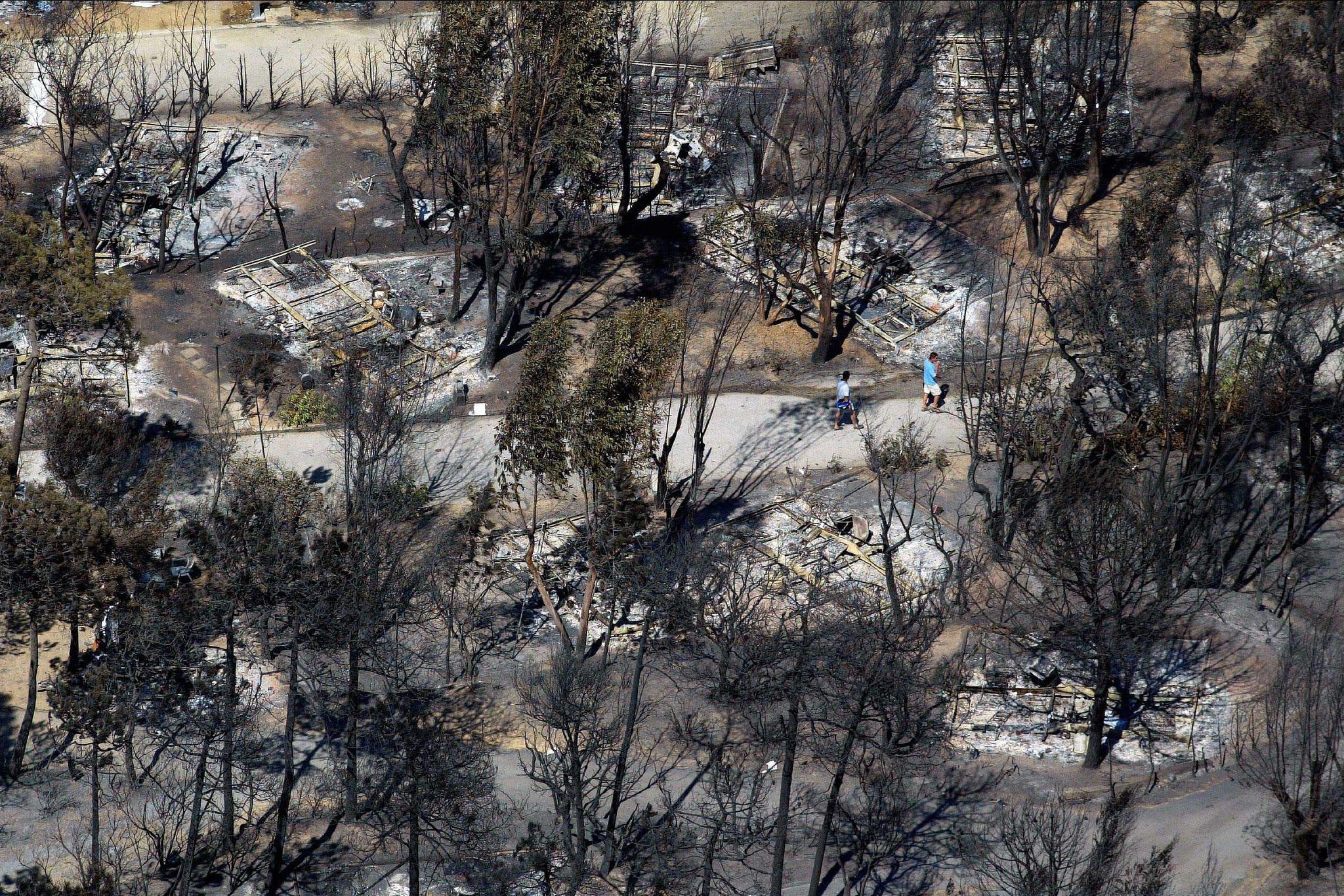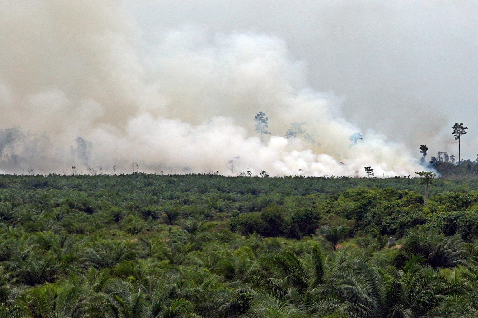
A new satellite fire-monitoring platform, FireWatch, had detected more than 96,000 hotspots across Indonesia as of July 27, 2026.The total exceeds that recorded at the same point in any previous year monitored by FireWatch, even though Indonesia has not yet reached the months when wildfires typically intensify.FireWatch estimates that approximately 103,000 hectares (255,000 acres) of land burned nationwide during the first half of 2026, raising concerns as forecasters warn that a strong El Niño could further increase fire risk.
JAKARTA — Indonesia has recorded more fire hotspot activity by late July 2026 than at the same point in any previous year, including during the devastating fire seasons of 2019 and 2023, according to new data.
Data from FireWatch, a new satellite monitoring platform developed by the forest monitoring platform Nusantara Atlas, offers the clearest picture yet of where the country is burning, say scientists. It has raised fresh concerns as Indonesia heads into the months of the year when wildfires historically intensify.
As of July 27, FireWatch detected more than 96,000 fire hotspots across Indonesia — more than at the same point in any previous year monitored by the platform. By comparison, about 88,000 hotspots had been detected by late July 2019 and roughly 58,000 during the same period in 2023.