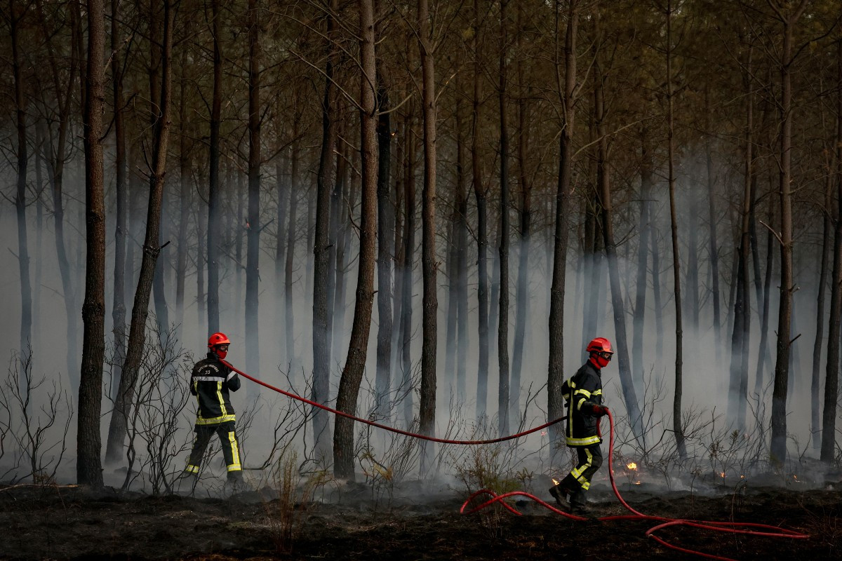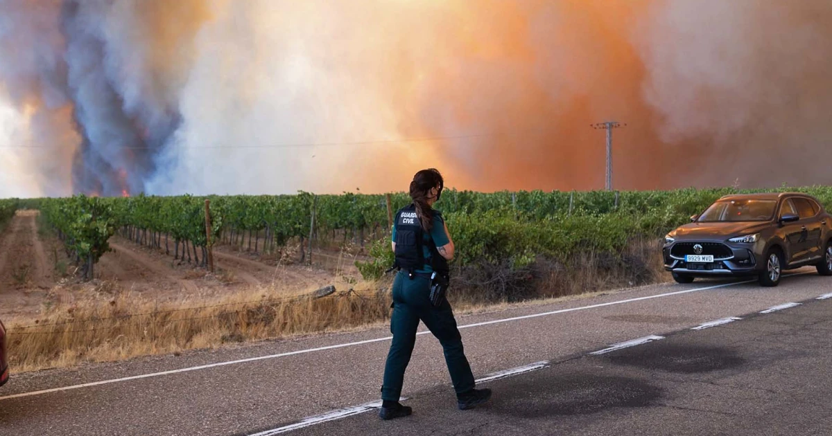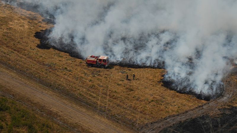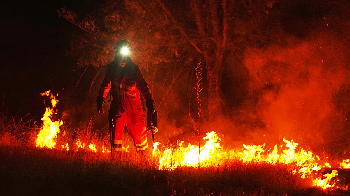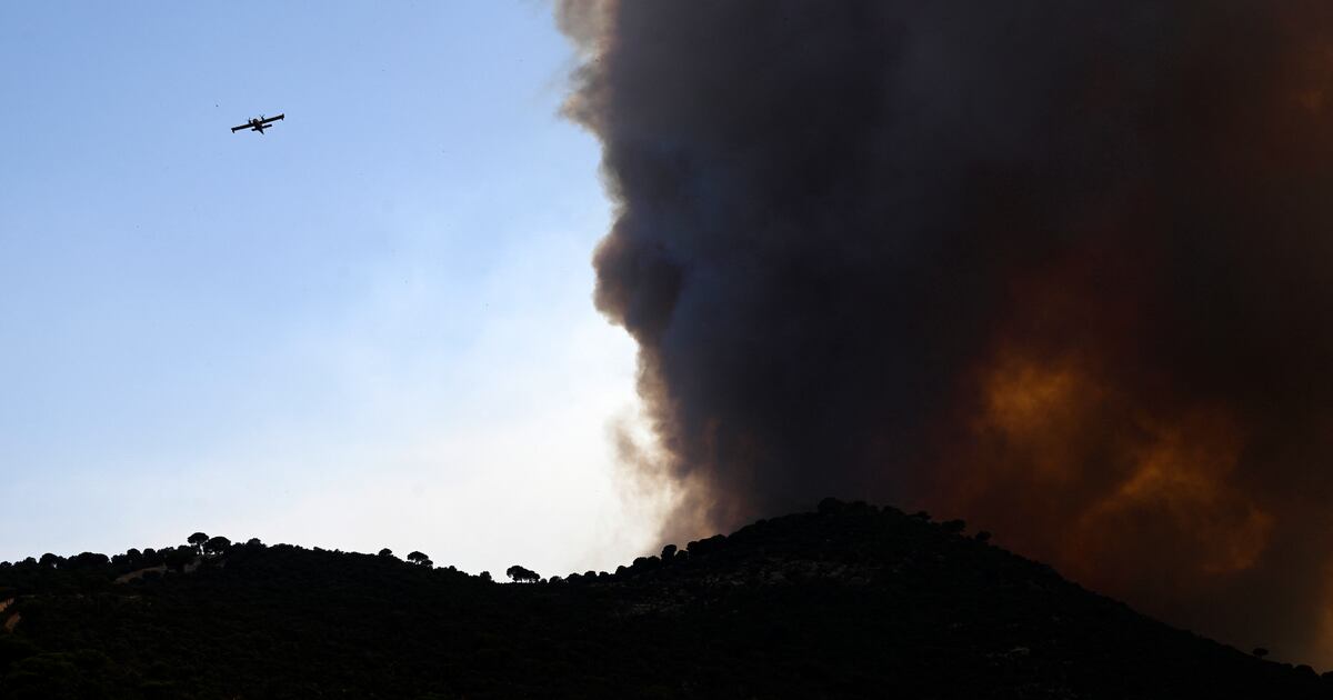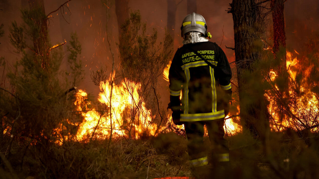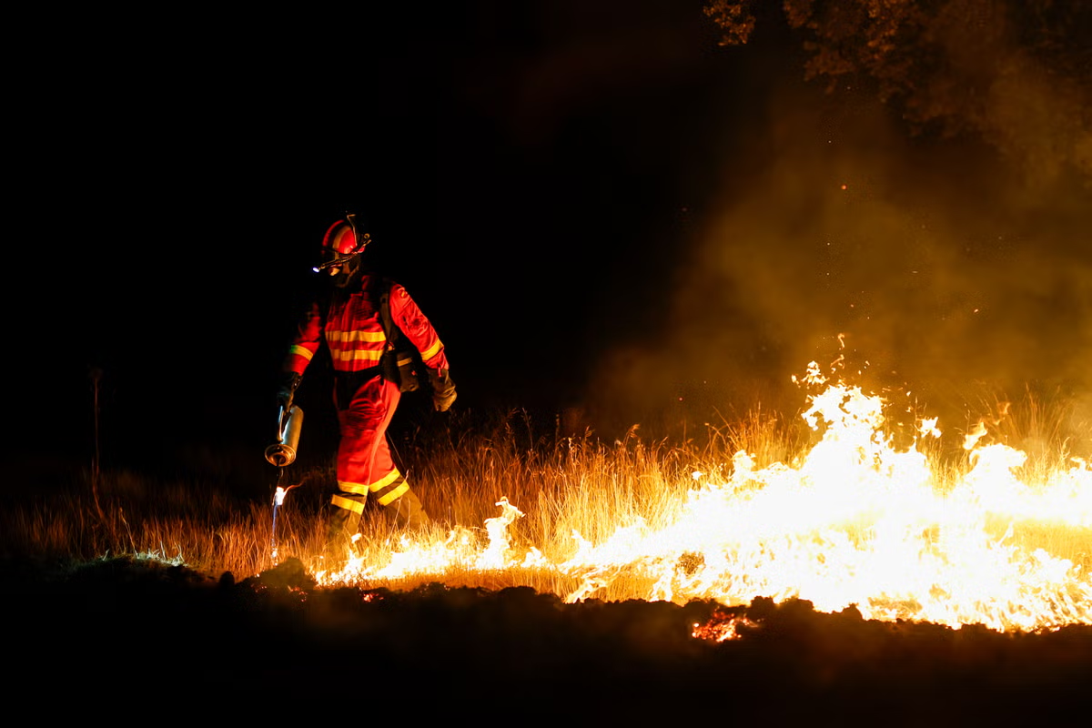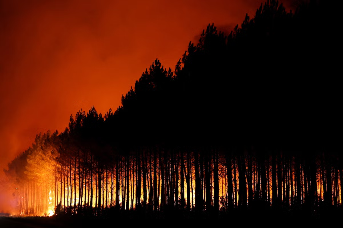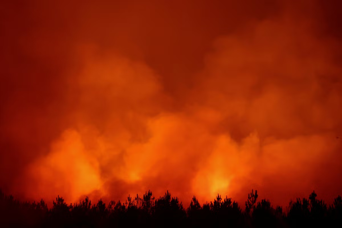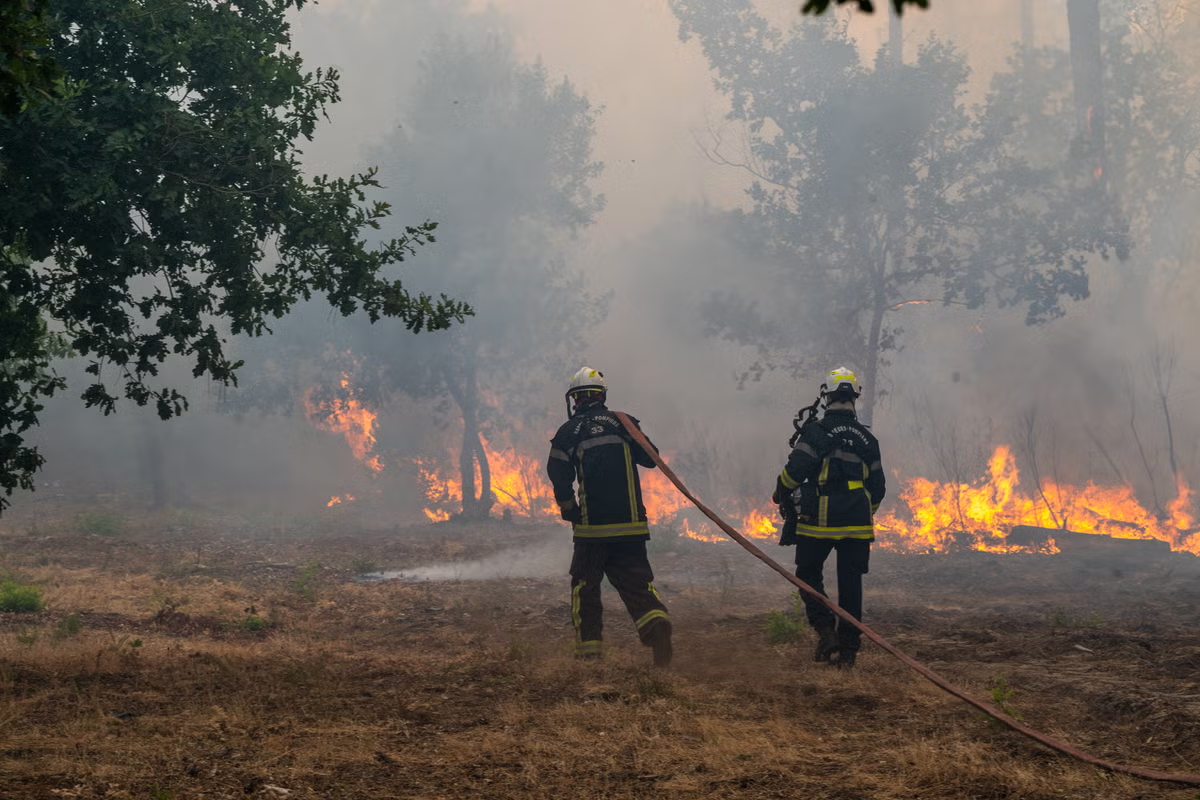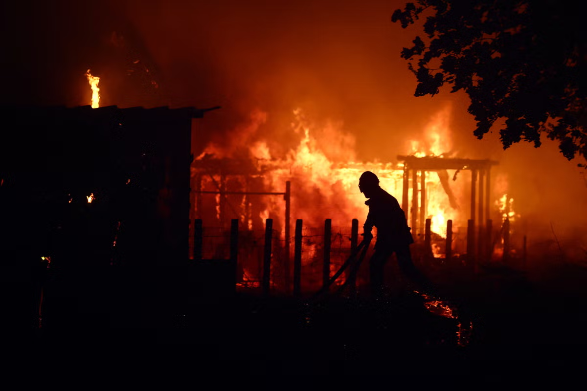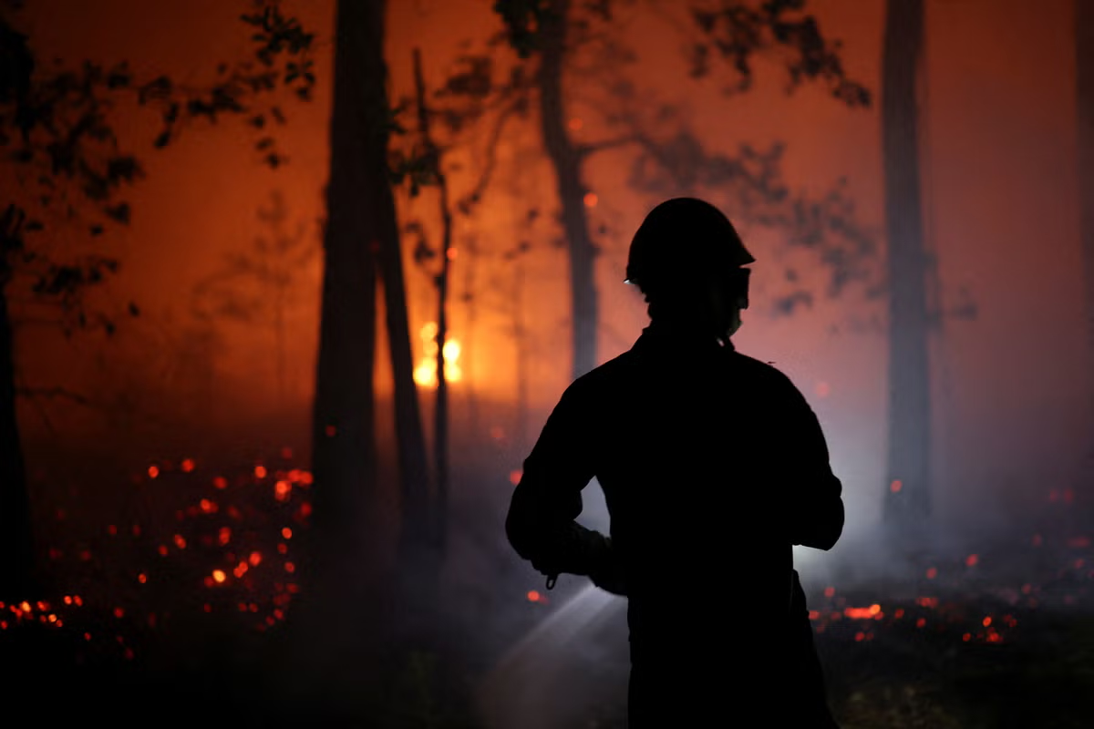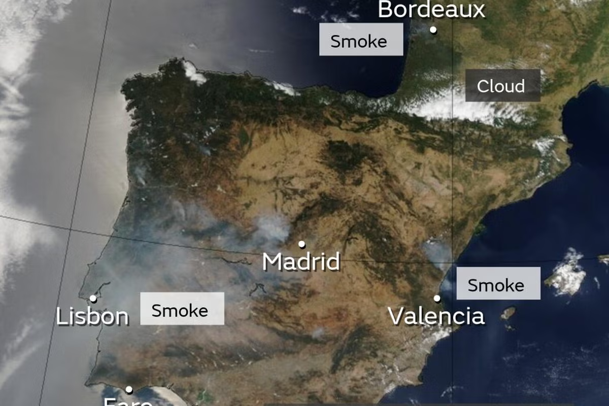
Jump to contentThank you for registeringPlease refresh the page or navigate to another page on the site to be automatically logged inPlease refresh your browser to be logged inAllNewsSportCultureLifestyleSatellite imagery shows widespread smoke across Portugal, Spain and near to Bordeaux in France (Met Office)Satellite imagery shows smoke drifting across Europe from major wildfires that have caused devastation in France and Spain.The Met Office shared an image online, stating: “Major wildfires continue in parts of Europe. Satellite imagery shows widespread smoke across Portugal, Spain and near to Bordeaux. There's little prospect of any rain relief and the heat will even intensify for some, with temperatures of over 40C possible in places.”Over 116,000 hectares have burned in France and more than 150,000 hectares in Spain since January, with French president Emmanuel Macron describing the situation as the country's worst disaster since World War Two. The Gironde region in France, encompassing Bordeaux, has seen 42,000 hectares scorched and over 240 houses destroyed, while areas west of Madrid are the most severely affected in Spain, impacting public transport, hospitals, and local businesses. Firefighters are in a critical period to control the blazes as both nations anticipate an impending heatwave, with temperatures forecast to reach 40C again, which could significantly worsen the danger. In fullEurope wildfires latest: Fire-ravaged France ‘at war’ say officials as new heatwave hits BordeauxMore bulletinsThank you for registeringPlease refresh the page or navigate to another page on the site to be automatically logged inPlease refresh your browser to be logged in
Europe’s devastating wildfires visible from space in new satellite images
Jump to contentThank you for registeringPlease refresh the page or navigate to another page on the site to be automatically logged inPlease refresh your browser to be logged inAllNewsSportCultureLifestyleSatellite imagery shows widespread smoke across Portugal, Spain and near to Bordeaux in France (Met Office)Satellite imagery shows smoke drifting across Europe from major wildfires that have caused devastation in France and Spain.The Met Office shared an image online, stating: “Major wildfires continue in parts of Europe. Satellite imagery shows widespread smoke across Portugal, Spain and near to Bordeaux. There's little prospect of any rain relief and the heat will even intensify for some, with temperatures of over 40C possible in places.”Over 116,000 hectares have burned in France and more than 150,000 hectares in Spain since January, with French president Emmanuel Macron describing the situation as the country's worst disaster since World War Two. The Gironde region in France, encompassing Bordeaux, has seen 42,000 hectares scorched and over 240 houses destroyed, while areas west of Madrid are the most severely affected in Spain, impacting public transport, hospitals, and local businesses. Firefighters are in a critical period to control the blazes as both nations anticipate an impending heatwave, with temperatures forecast to reach 40C again, which could significantly worsen the danger. In fullEurope wildfires latest: Fire-ravaged France ‘at war’ say officials as new heatwave hits BordeauxMore bulletinsThank you for registeringPlease refresh the page or navigate to another page on the site to be automatically logged inPlease refresh your browser to be logged in