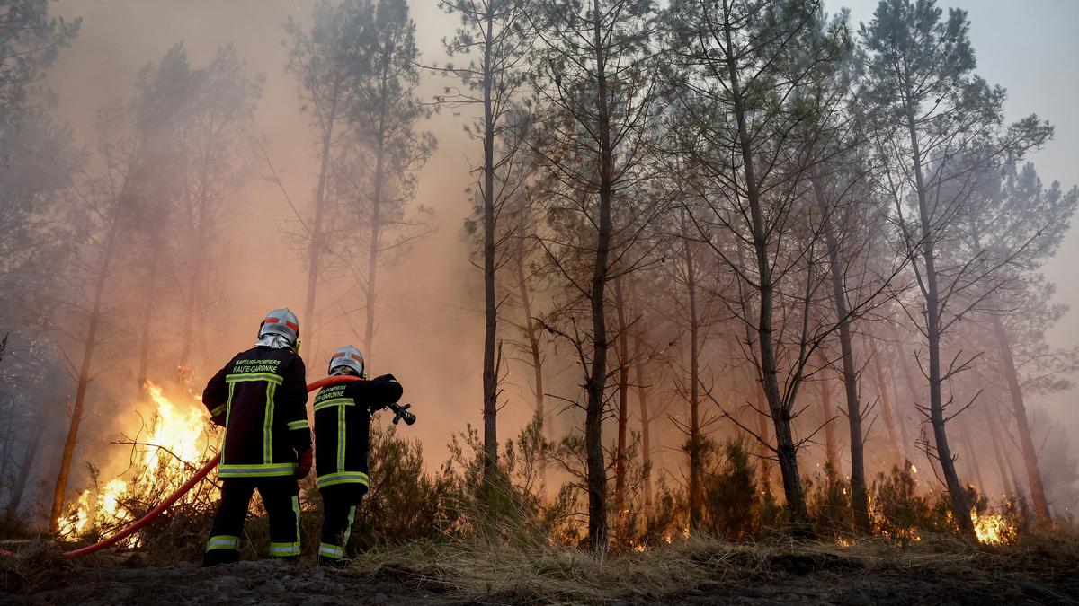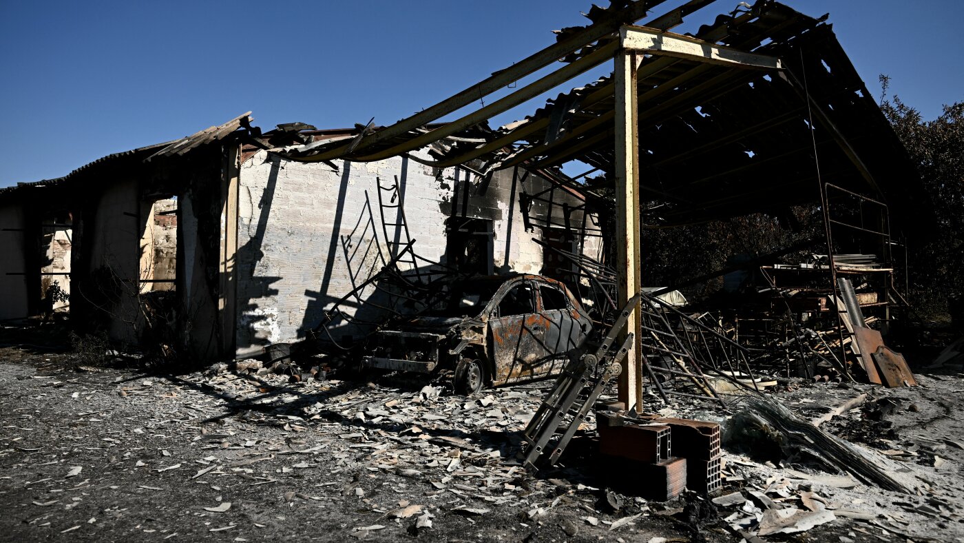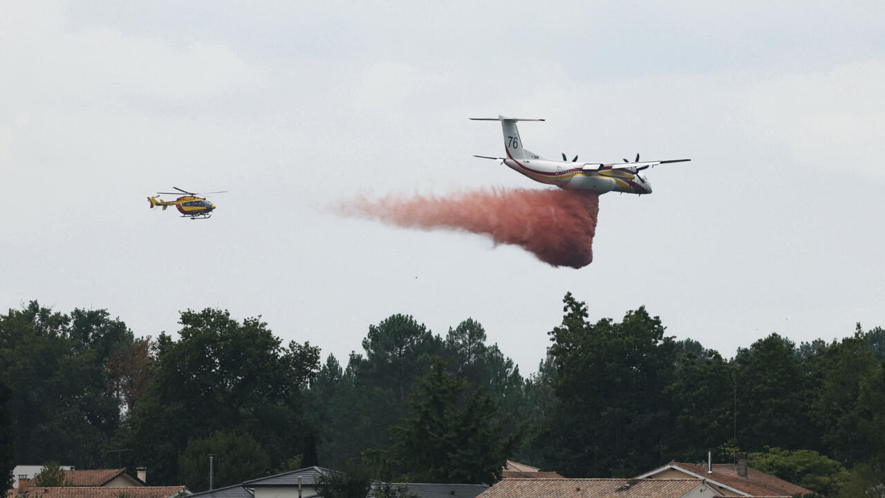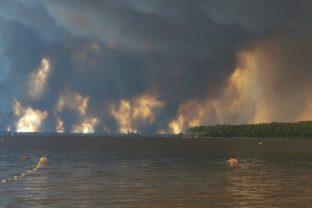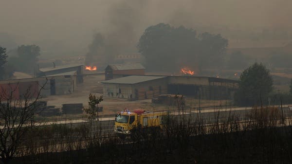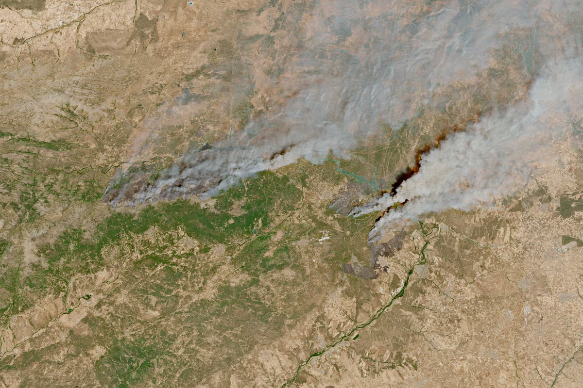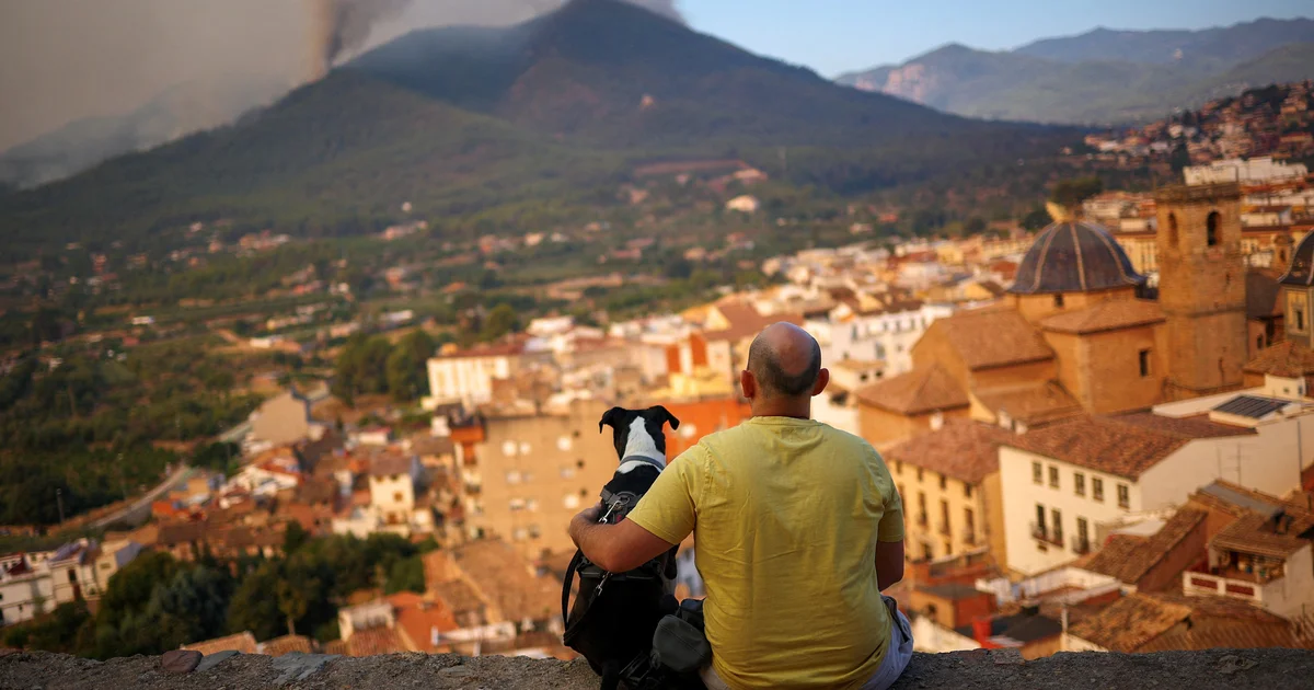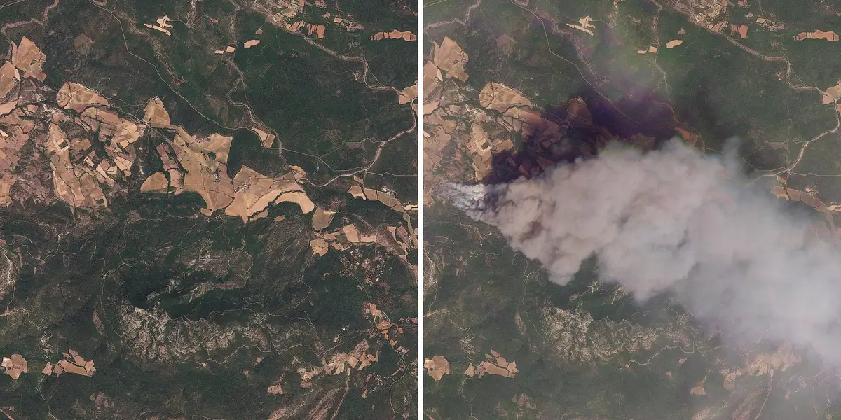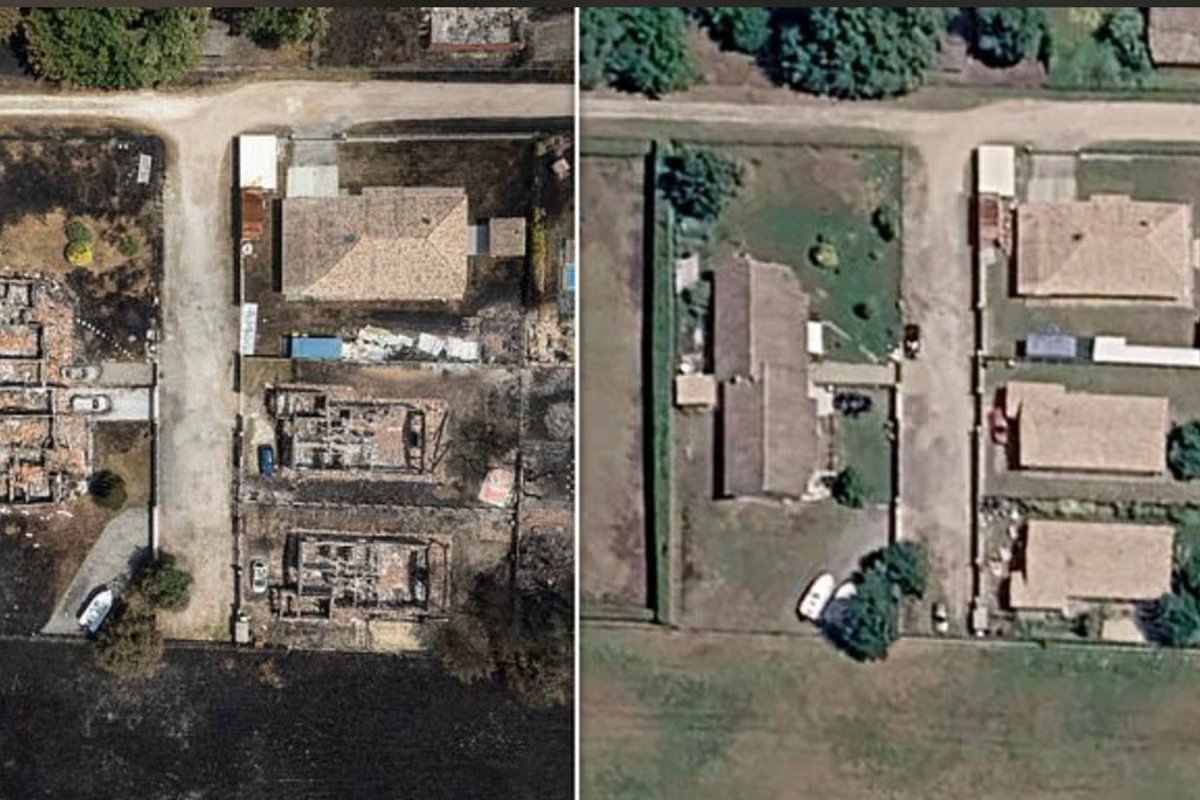
New satellite images have laid bare the devastation caused by raging wildfires across France and Spain, as local officials warned the continent was “at war” against the rapidly spreading fires.Over 360,000 people have been evacuated with France issuing fresh evacuation orders for areas in Lacanau on Tuesday morning, affecting a further 4,000 people. President Emmanuel Macron has described it as the worst disaster to face the country since World War Two. So far the region of Gironde, which includes Bordeaux, has seen 42,000 hectares (103, 784 acres) of land scorched to ashes and over 240 houses destroyed, according to Remi Lassoureille, who leads the forest fire efforts in the area. Follow the latest updates hereBefore and after images show the devastation of a house on the D106, a 41-mile route connecting the Cap Ferret peninsula with the city of Bordeaux (Planet Labs PBC)This aerial view shows damaged houses in a burned area in the city of Le Porge, France on 27 July (AFP/Getty)At least 116,000 hectares has burned in France this year since January, while president Pedro Sanchez said over 150,000 hectares had been torched in Spain during the same period. Jerome Steffe, the mayor of Cestas, a small town south of Bordeaux told the BBC that the disaster would be remembered as the “fire of the century”. The worst areas hit in France have been across the Atlantic coast with the entirety of the Cap Ferret peninsula evacuated and several of the surrounding suburbs of Bordeaux. This picture shows a scorched area after a wildfire raged in La Vall d'Uxio, 55 kilometres north-east of Valencia, on July 28, 2026. (AFP/Getty)This aerial view shows damaged houses in a burnt area in the town of Le Porge, following a wildfire in the Gironde Department, south-western France, on July 27, 2026. (AFP/Getty)In Spain, the regions worst affected are located west of the country’s capital city of Madrid. Public transport, airports, hospitals, schools and local businesses have all been impacted by the devastation. The blaze is at risk of getting worse as both countries face an impending heatwave with temperatures set to hit 40C. Firefighters are facing a crucial window to bring the flames under control before the hotter, drier weather exacerbates the danger. A drone view shows a burnt building in an area affected by a wildfire, in Le Porge, Gironde, amid drought conditions following a heatwave and water shortages across much of France, July 27, 2026. (Reuters)A combination picture shows satellite imagery of an area near Le Porge, in Nouvelle-Aquitaine, France, before it was affected by a wildfire (Reuters)Spain's interior minister Fernando Grande-Marlaska called it an "absolutely crucial" period, with weather forecasters in both countries warning temperatures could reach 40C again in some parts as soon as Tuesday afternoon. Experts have warned that the intensity of the fires has been worsened by the impact of climate change. This aerial view shows a burnt building following a wildfire in Le Porge, in the Gironde Department, south-western France on July 25, 2026. (AFP/Getty)A combination picture shows satellite imagery of an area near Navaluenga, in Avila, Castile And Leon, Spain, before it was affected by a wildfire (top), July 17, 2026, and smoke rising from the area as a wildfire burns (bottom), July 23, 2026. (Reuters)“The evidence is becoming increasingly clear. We are seeing a broader trend in which climate change is increasing the likelihood of extreme wildfires around the world,” Dr Beth Simons, a climate risk advisor at Practical Action told The Independent. “Wildfires are not only damaging homes and livelihoods, they also pose serious risks to public health and can have lasting impacts on ecosystems, increasing the risk of other disasters such as floods.“As wildfire risk grows across Europe, investing in these people-centred approaches should be a priority, supporting everyone, including the most marginalised and vulnerable.”
Satellite images show devastation across Spain and France by ‘fire of the century’
Over half a million acres of land has been burned since the start of the year as experts warn the crisis will worsen without action
634 words~3 min read